A circular walk - 13.5 miles.
Boulsworth Hill is listed as the highest point in the South Pennines of south-eastern Lancashire. I have seen its mass on many walks in the area, and decided to draw up a circular route that would incorporate it. Also not to far away was two Trig Points that I wanted to bag if possible, one at Shelfield Farm, and the other at Extwistle Moor. And not forgetting the Trig on the summit of Boulsworth Hill too.
The forecast was fantastic for late October, sunshine and warm, so the views were set to be good. This time it was a train to Accrington, then changing there for Colne, arriving at 11:15. There was some heavy fog hanging over Calderdale, particularly over Hebden Bridge and Todmorden during the journey, but by the time I arrived into Accrington, and eventually Colne the weather was great with blinding sunshine. Here heading from the station through the back streets of Colne along this steep lane...
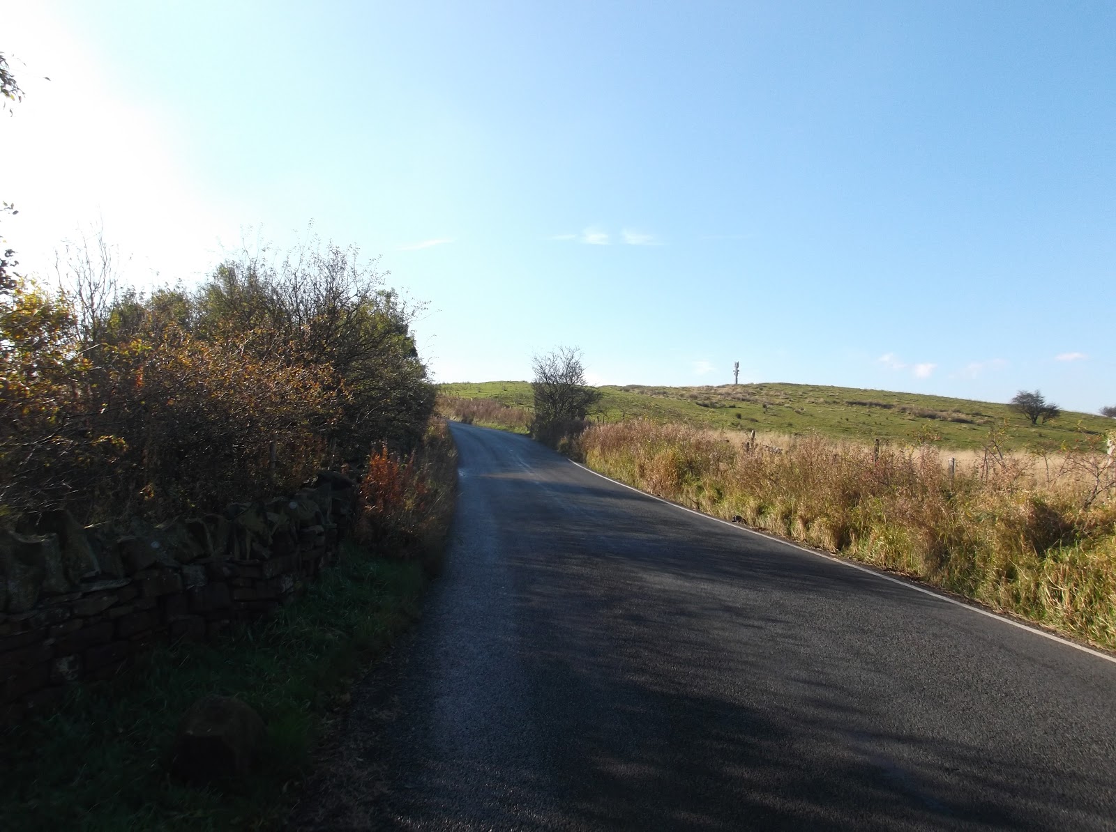
This walk involves, to start off with, quite a bit of road walking. But this was necessary in order to bag the Trig Point at Shelfield Farm...
The lane 'Back Lane' wasn't to busy so was a nice walk. Here a distant Boulsworth Hill comes into view...
Branching right from the road here up this very muddy field track towards the high point of Shelfield Farm...
And to the Trig Point at 338 metres, with the unexpected find of Walton's Monument next to it. Also some great views towards Pendle Hill from here...
And the Trig Point in relation to Boulsworth Hill...
Walton's Monument...
Back onto Back Lane now, heading towards Coldwell Reservoir...
Turning right here onto Halifax Road with another unexpected find, this Pillbox. Someone was prepared for the Nazi's invading...
Here heading off Halifax Road and down this steep embankment towards High Ridehalgh Farm...
A warm welcome at the farm...
The path got a bit confusing here crossing the farm's pastures, but I continued on downhill towards Thursden Brook...
A conveniently placed footbridge to get you across the brook...
On the other side of the brook a muddy pathway climbs steeply here up towards the Bronte Way...
After crossing over the Bronte Way, the official path disappears and your then following a lane up onto the edges of Extwistle Moor. On the day I went, the edge of the moor was being used as a makeshift motocross track with bikes whizzing around it, and I had to move quickly to get out the way at one point. There was a well built notice warning people of this so I had no excuses, also on Saturday's according to the sign this part of the moor is used for clay pigeon shooting urging you to stick to the footpaths!
After getting past the noise of the makeshift motocross track it was good to get out onto the open moor, here Boulsworth Hill doing a good impression of Cross Fell...
And to the Trig Point on Extwistle Moor at 380 metres, and also time to refuel...
Heading across the very boggy moor now following this wall...
It was a tough bit of walking across the moor, and the bogs were at their worst here. But eventually I made it onto this pathway. I headed straight ahead here across the moor...
It's a boggy pathway, but a well walked pathway so easy to follow. It brings you out onto Ridehalgh Lane...
Straight across Ridehalgh Lane I followed this track cutting across the edges of Widdop Moor...
The track brings you out onto this great bit of moorland. On the left is Boulsworth Hill, on the right is Dove Stones...
The track comes to abrupt end after a good mile. But a well walked path is visible across the moor to the side of Boulsworth Hill...
A gradual climb up the southern side of the hill brings you out onto the wind swept plateau of Boulsworth Hill...
Heading towards the summit here...
Boulsworth Hill summit Trig Point at 517 metres (1,696 ft)...
The summit is known as Lad Law and commands some fine views north west towards the Forest of Bowland, with Pendle Hill being the most prominent hill visible. Also clearly visible is the town of Colne, and Weets Hill above it, all visible in the below photo. To the north is the outline of Ingleborough, the very top of Pen-y-ghent and Great Whernside. Pinhaw Beacon is another high point visible. To the north east Ilkley Moor, and Simon's Seat are also just about visible...
Heading north east now from Lad Law across the truly awful bogs of Boulsworth Hill...
There is a well walked path that allows you to descend the hill across Pot Brinks Moor, about half mile north east from the summit...
Colne and Weets Hill from Pot Brinks Moor...
Heading towards Boulsworth Dyke...
The Bronte Way skirts the base of the hill. I cut across it and headed across this sheep pasture towards Gilford Clough...
Into the trees of Gilford Clough...
There are lots of ways you can get back to Colne, and I seemed to take the muddiest. But the views were always good...
And finally back into Colne railway station, the terminus of the East Lancashire Line, for my train home...
This was a great walk to finally bag Boulsworth Hill with some of the finest scenery in The Pennines. Thanks for reading.


4 comments:
Thanks. That looks a good day out. I will put that on my list. With it being within easy reach i should be able to manage it in the spring.
Thanks Alan.
It was a great (little) walk was this one, but the bogs were truly awful. I suppose you can't expect much after this years deluge though.
Steve.
Steve, with all the work and detail (and photographs) you've put into these walks over the past few years, there must be enough for a guidebook by now.
Get it published and I promise i'll buy a copy.
Thanks Dave, that's such a nice comment. And a great idea, I just might do something like that one day.
Cheers, Steve :)
Post a Comment