
A circular walk, 15.4 miles, 6 - 7 hours.
This ramble takes in three of the most distinctive hills and one of the finest ridge walks, in the Peak District.
After a trek earlier this year from Buxton to near-by Axe Edge Moor, Burbage Edge and Shining Tor, I had planned to return to the town again to initially climb two fantastic looking hills that are quite popular with visitors to the region, Chrome Hill and Parkhouse Hill, both hills of which are quite unusual in their appearance. I had also been recommended to include High Wheeldon - another distinctive hill that lies to the south east of Chrome Hill and Parkhouse Hill.
So after drawing up a route that included all three hills, and taking into consideration the limit of light at this time of year - it was time to do this one.
Arriving into the spa town of Buxton at 11am...
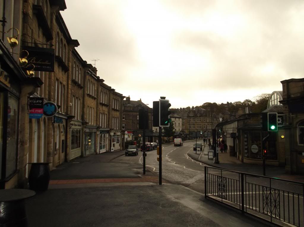
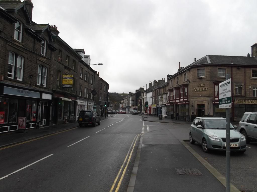
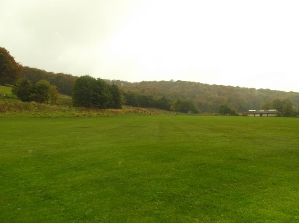
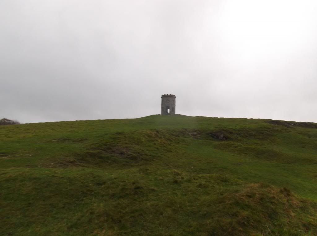
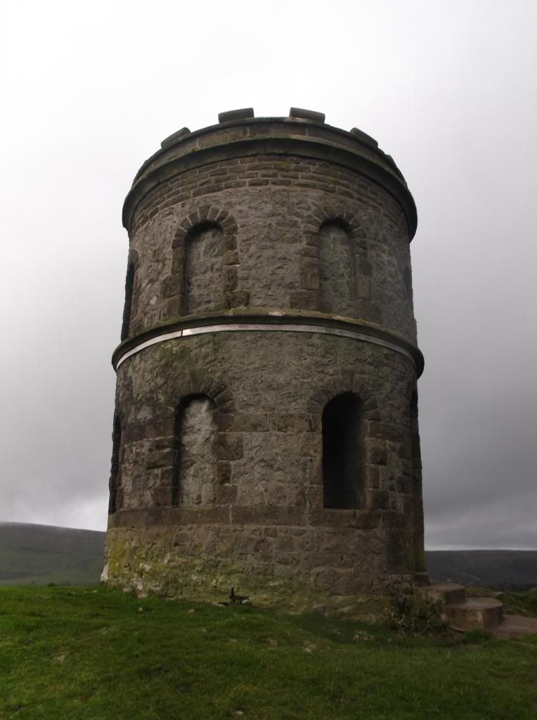
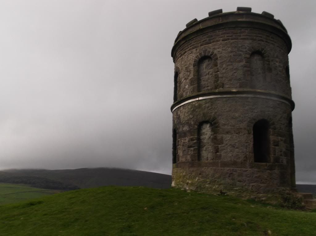
Turning left from the railway station this time and following the busy A515 road south east, the walk starts by cutting through the town centre. In the below picture is the first highpoint of the walk, a distant looking Solomon's Temple on the hill top ahead...
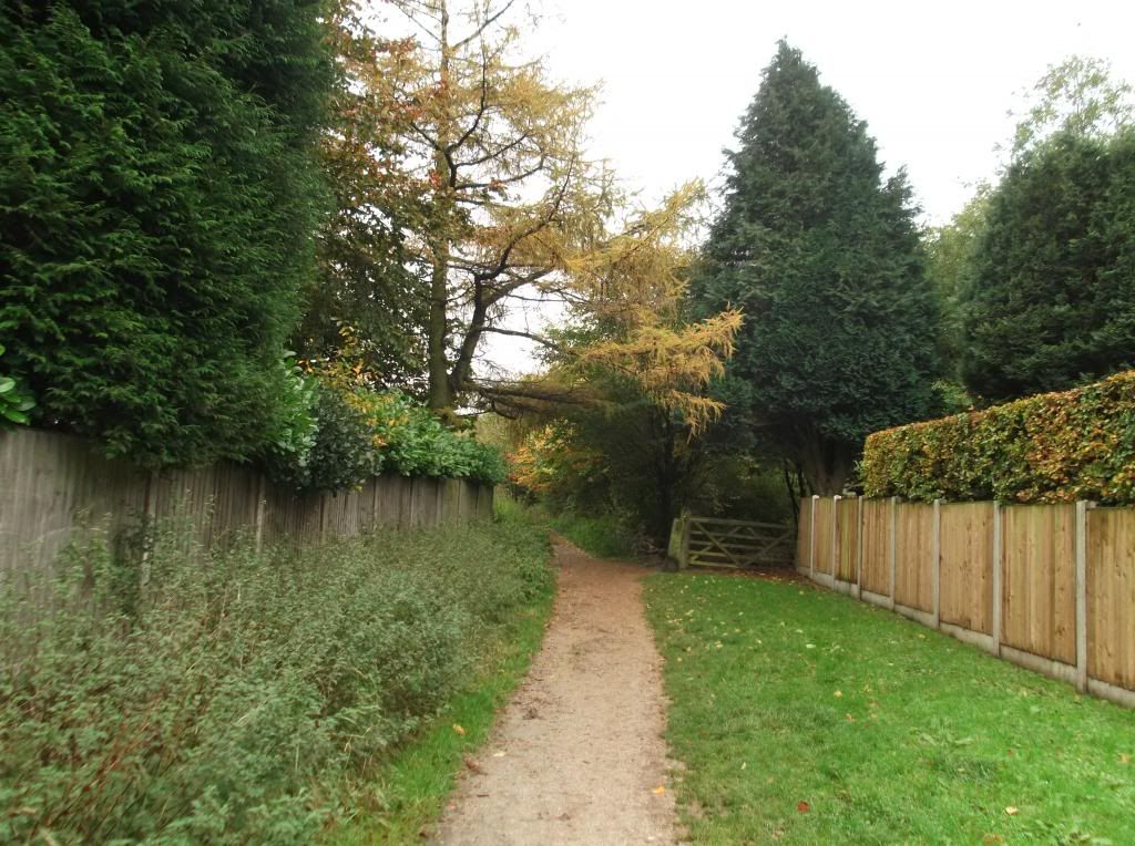
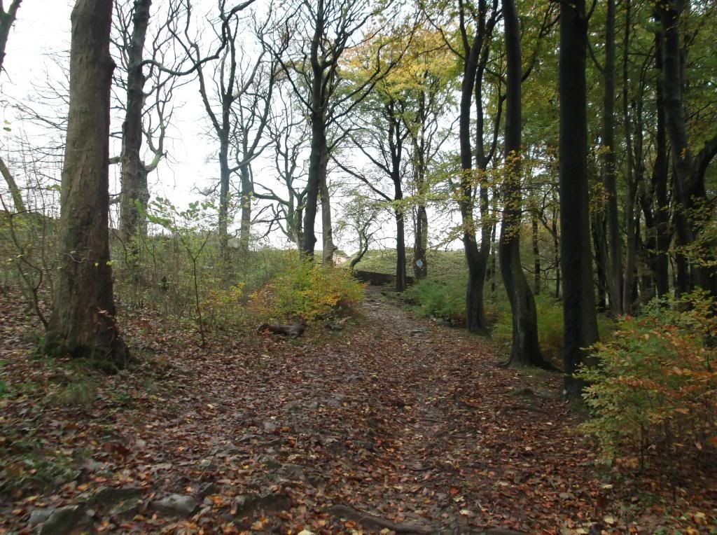


After passing through some more woodland, this sign was an interesting and unexpected find...
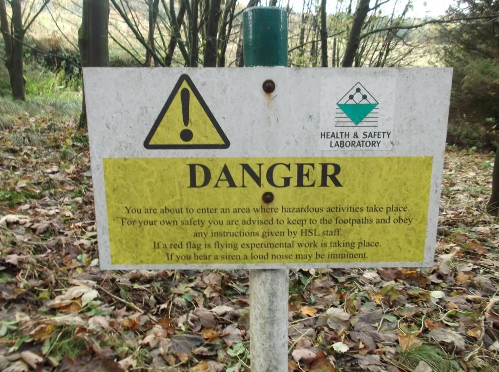
This facility is a Health and Safety laboratory that specialises in testing work based equipment and looking at effects and causes of industrial accidents.
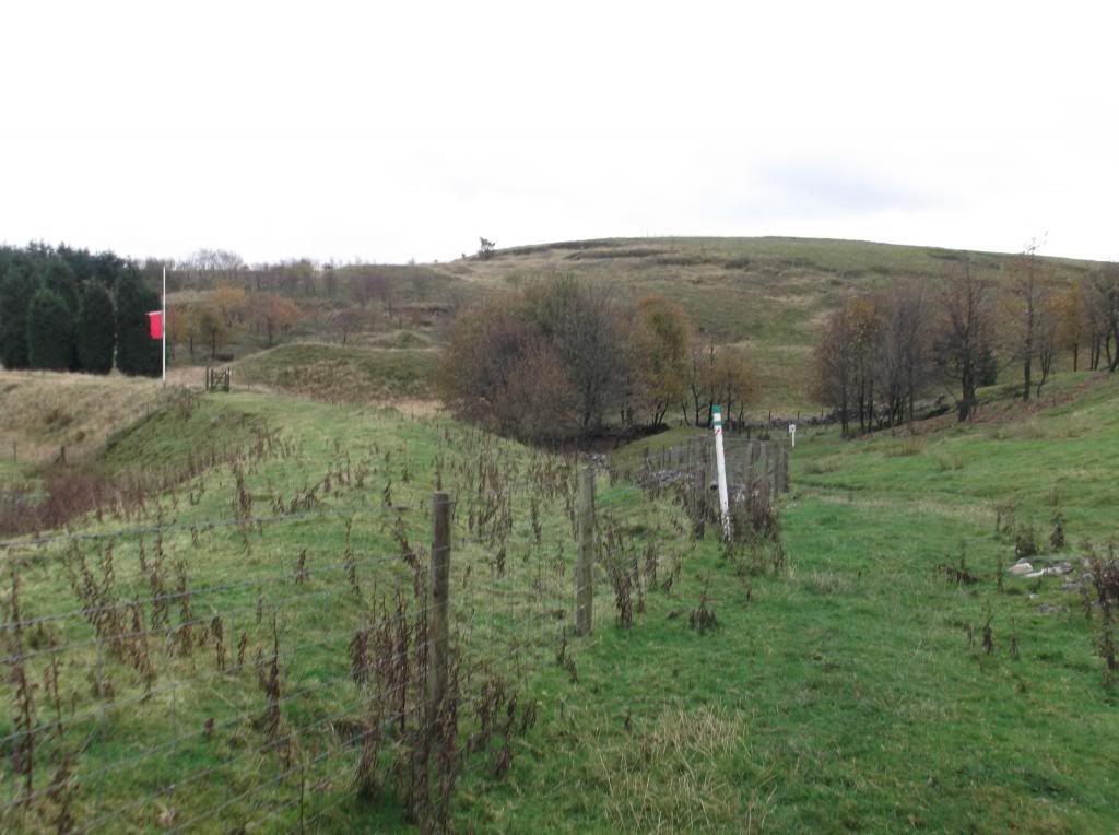
At the time this sign was slightly unnerving where it describes 'when a red flag is flying experimental work is taking place, if you hear a siren a loud noise may be imminent'. Emerging from the trees I was greeted with a set of signs that you get the impression you must stick to. And hard to make out in my picture - next to the building on the hill here - a red flag was flying. This could be interesting!...
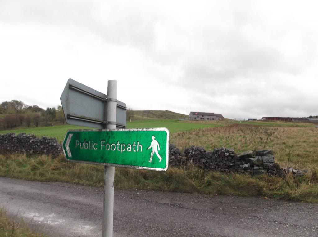
After walking for about 300 yards the path cuts right from the above road...
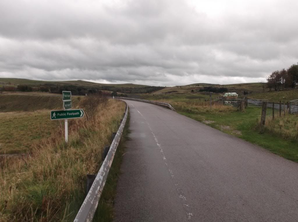
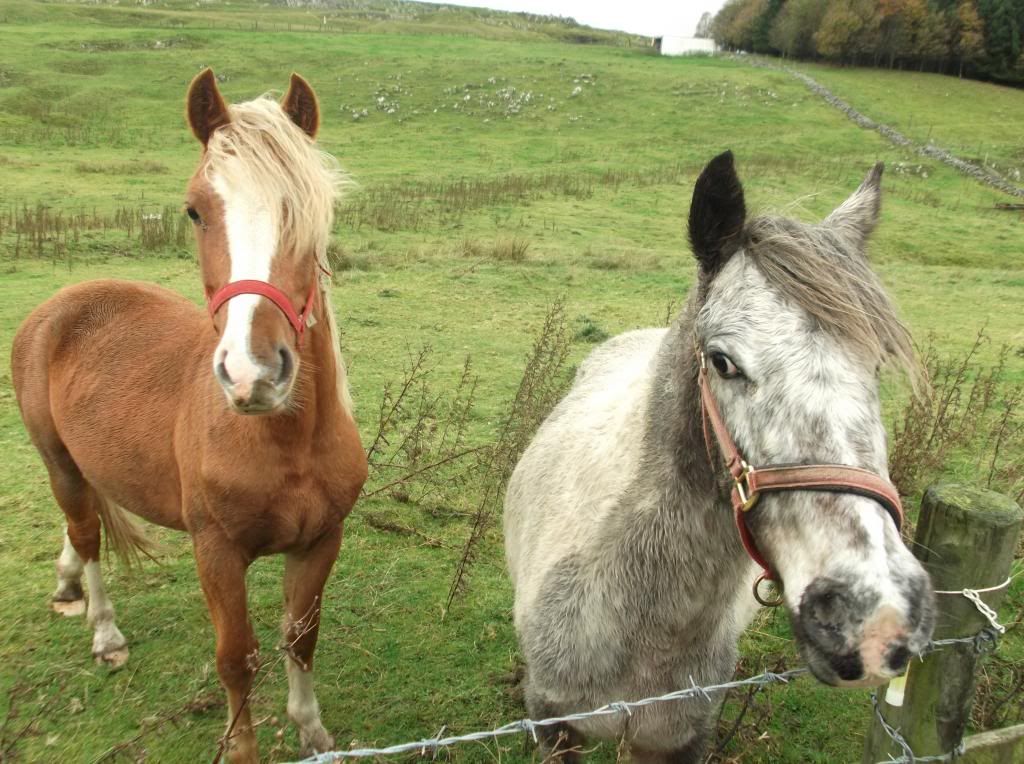
The path continues on for a good half mile, taking you out and away from the laboratory. The route then continues over a stile and across a horse filled field...
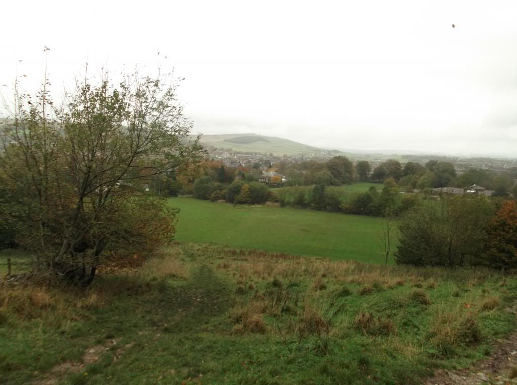
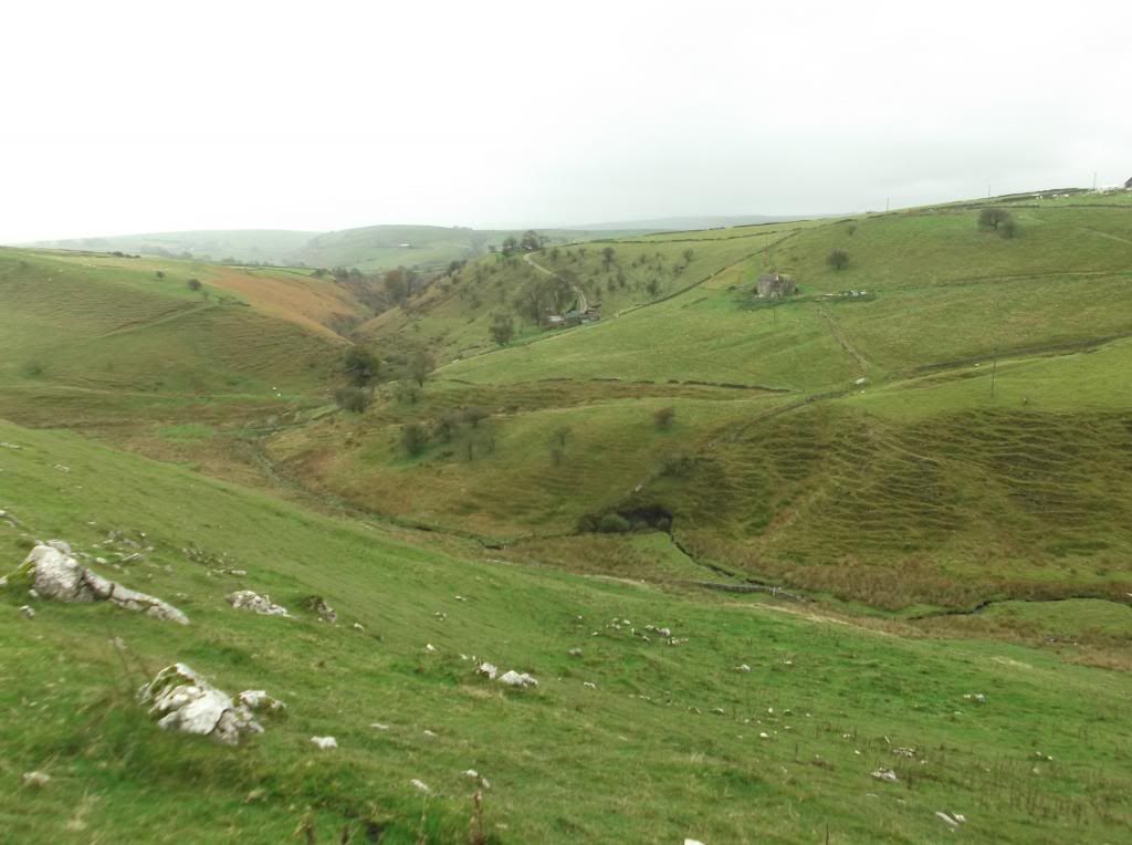
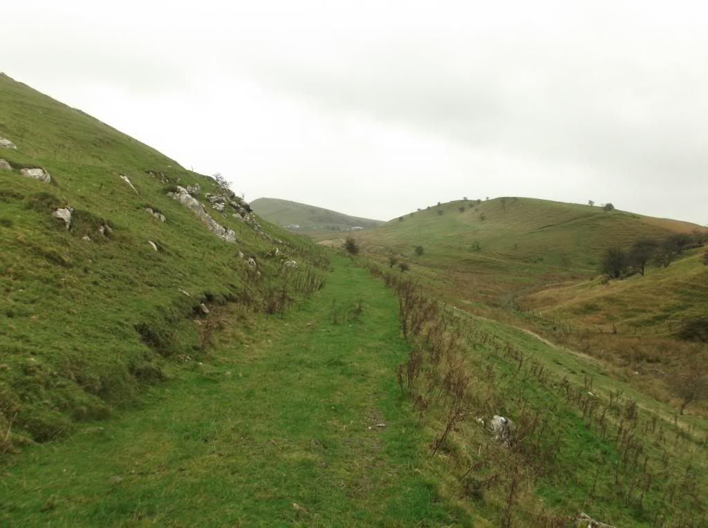
The route then comes to a valley marked down on the map as Thirkelow. I descended down the valley side which allows you out onto a wide pathway that continues south east towards Brand End...
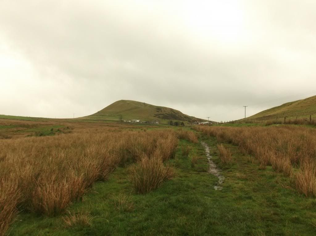
Here passing Brand End and heading towards Booth Farm, the hill above the farm is called Hollins Hill...
Turning left after the farm, the route follows a small road, then you can cut right from the road via a footpath towards Stoop Farm.

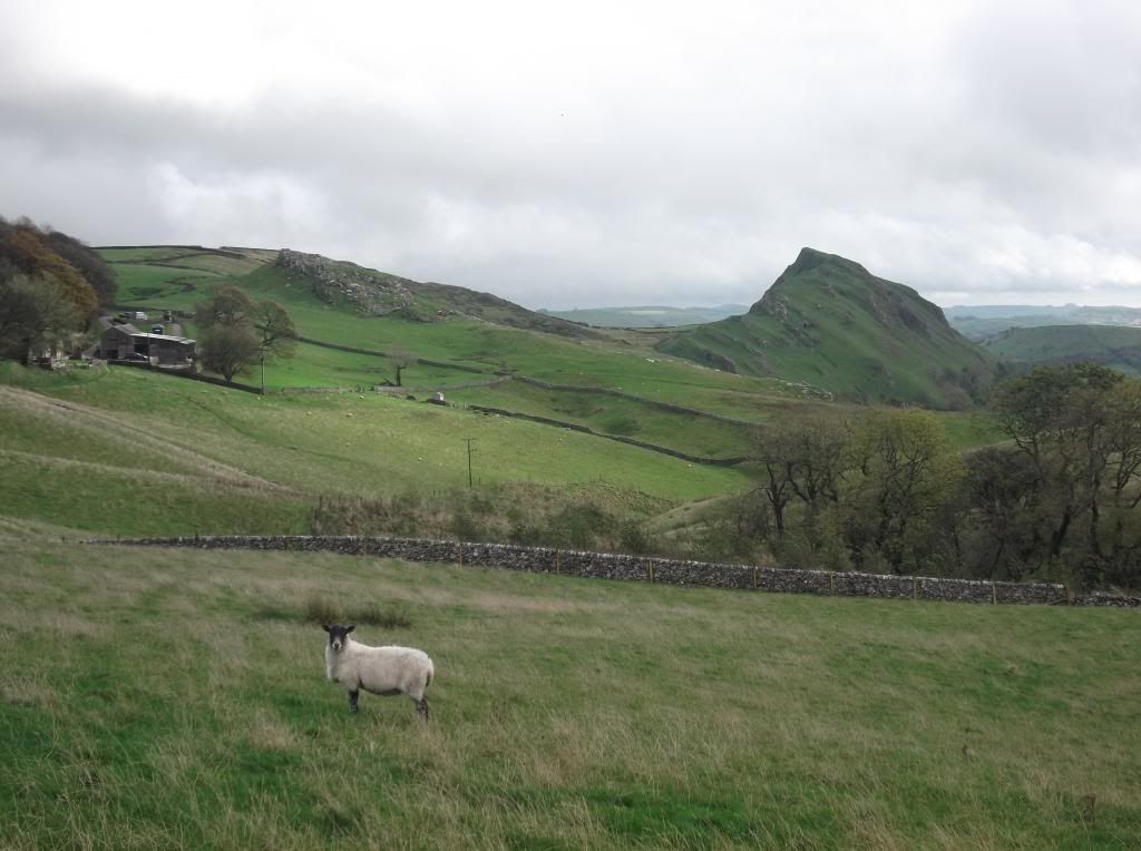
Stoop Farm on the left of the below picture, this is also where you get your first glimpse of Chrome Hill...
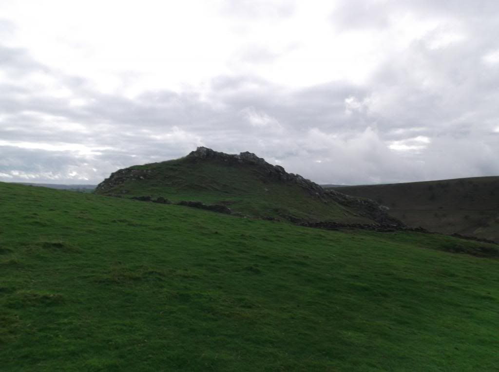
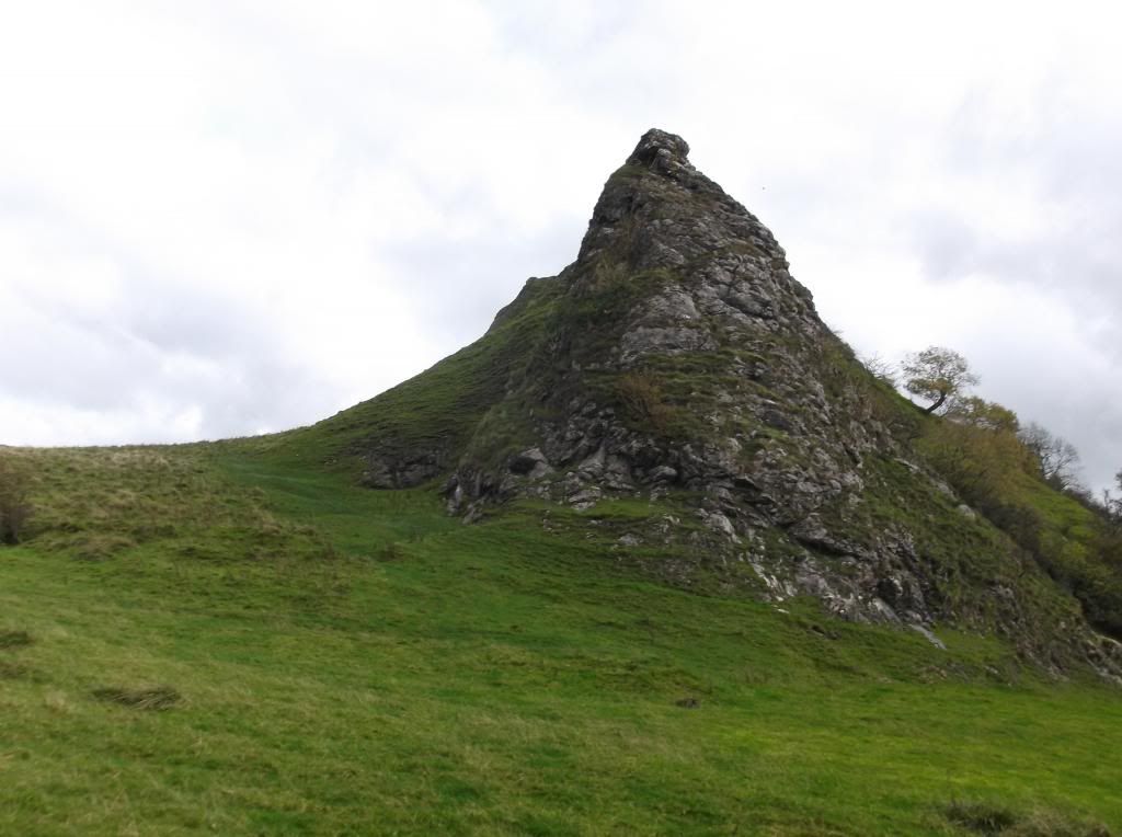
Here passing Tor Rock...
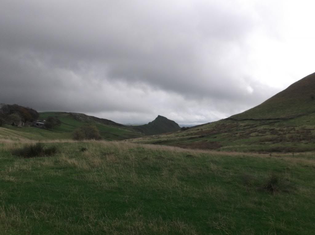
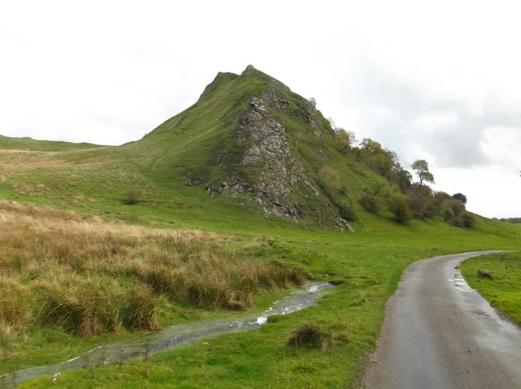
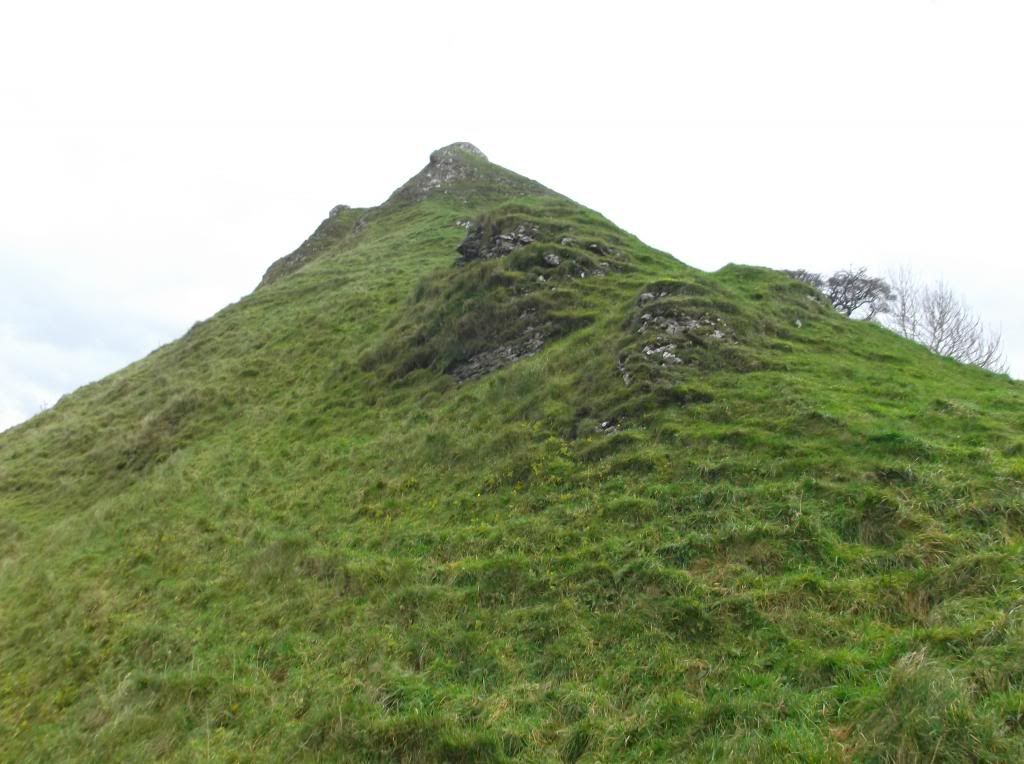
Continuing towards Chrome Hill...
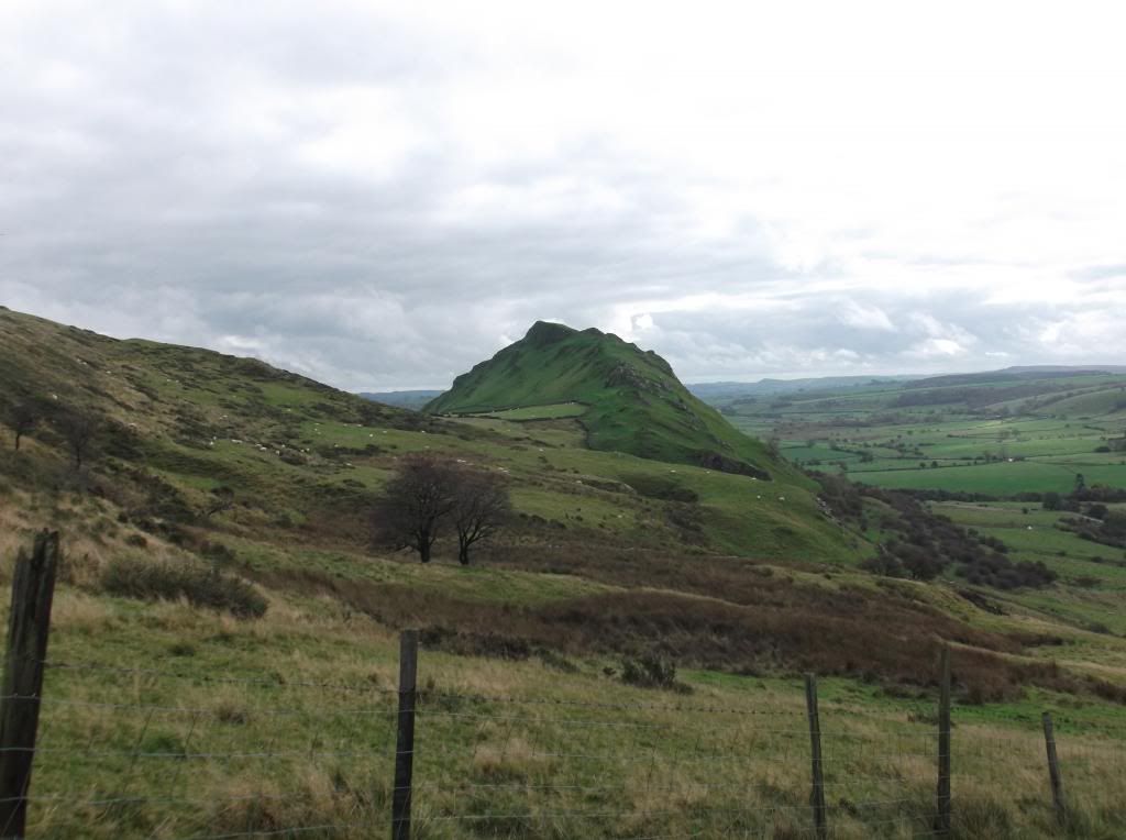
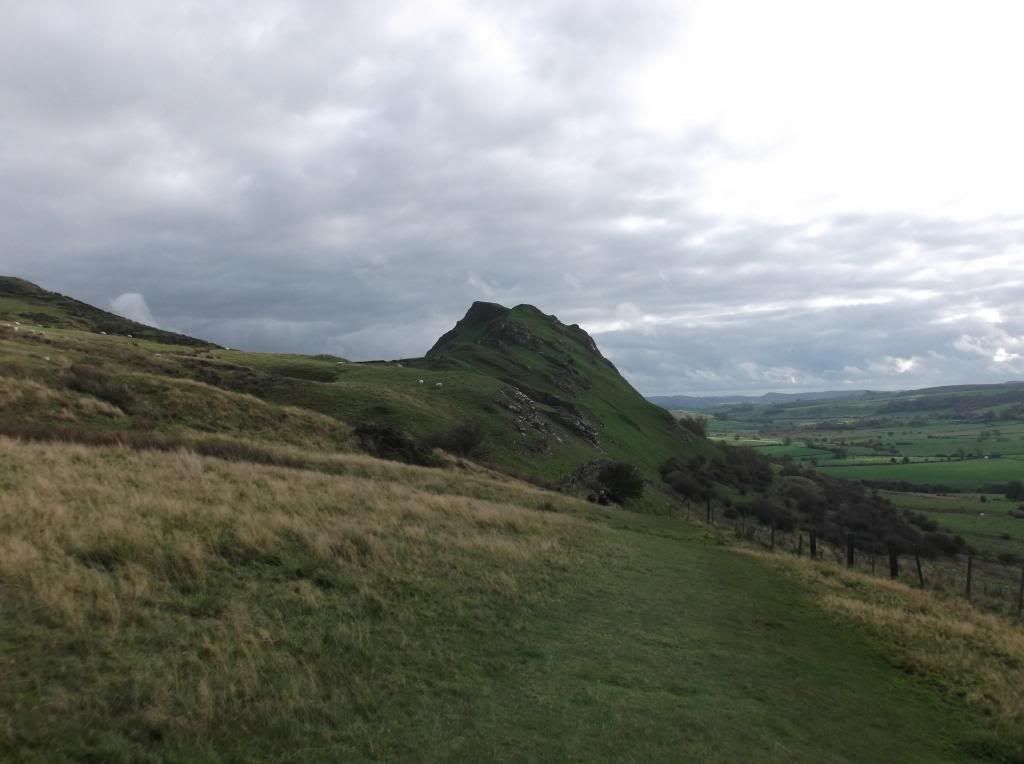


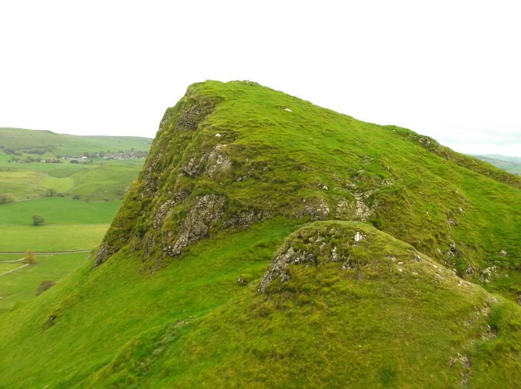
What a fantastic looking hill, Chrome Hill and its even more distinctive neighbour - Parkhouse Hill are limestone reef knolls, which are believed to have existed during the Carboniferous period when what is now the Peak District was covered by a tropical sea. Indeed there are many fossils visible on the polished limestone that is exposed from the grassy edges of the hill.

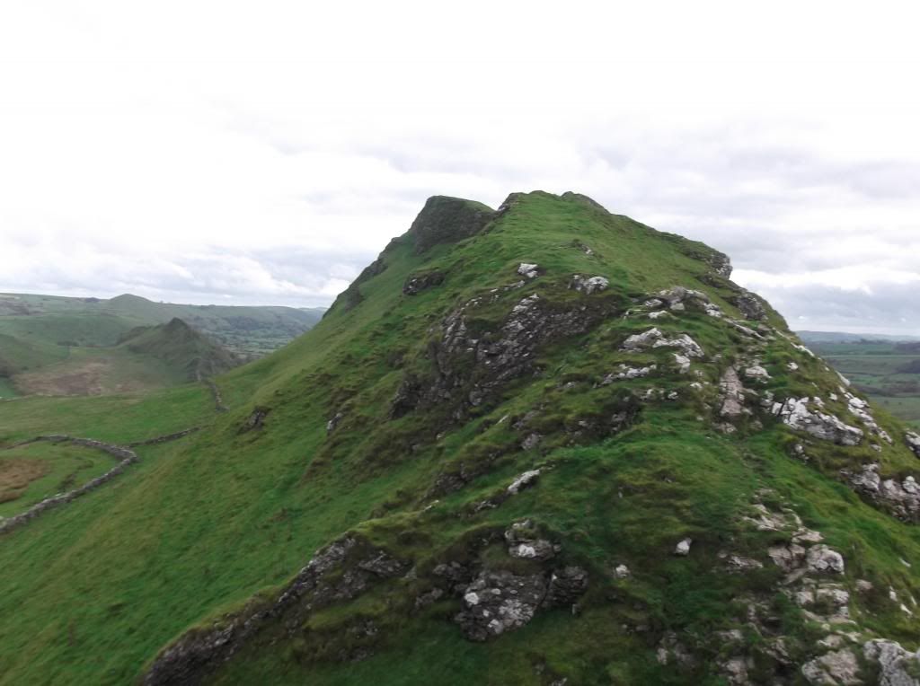
Climbing onto this rather excellent Derbyshire high point now...

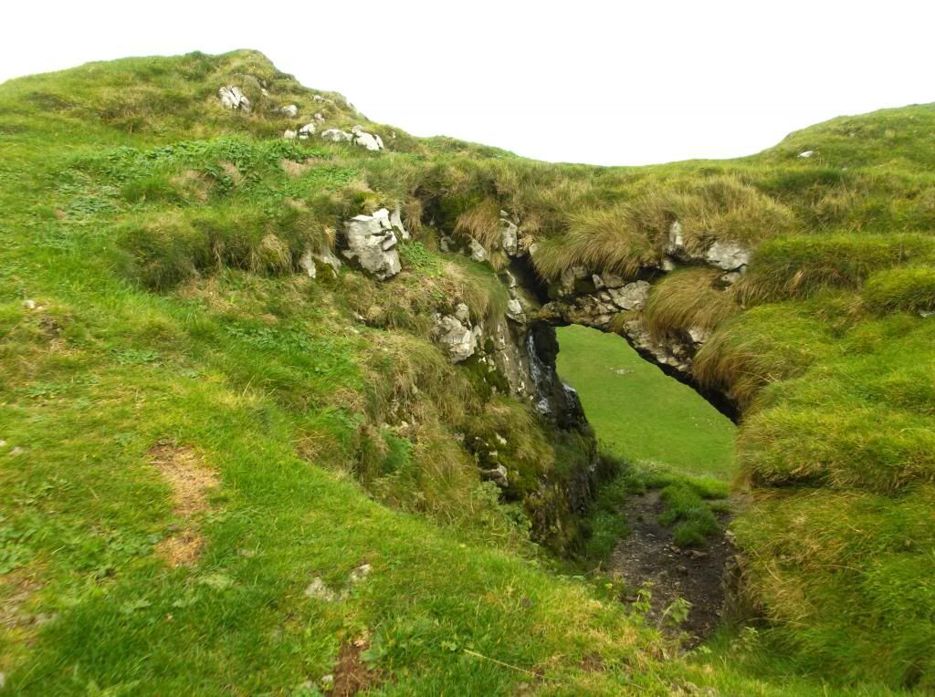
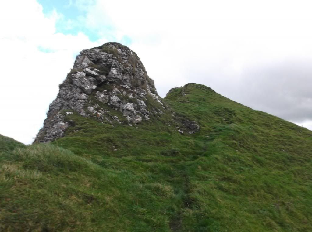
A hole in the hill...
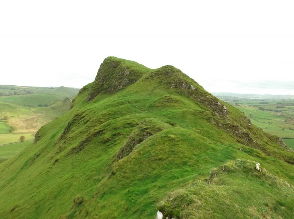
The summit up ahead now of this fine hill...
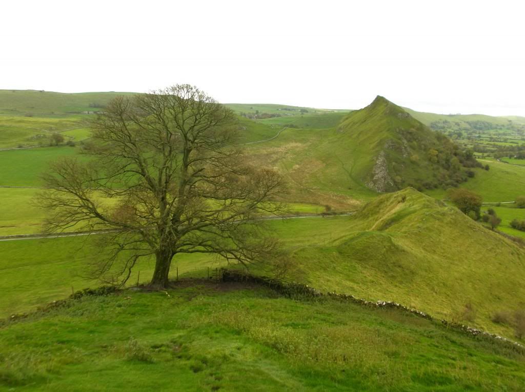
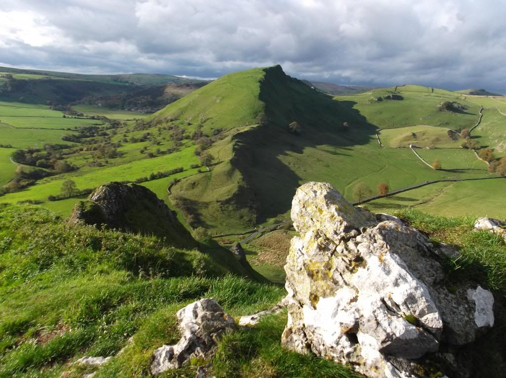
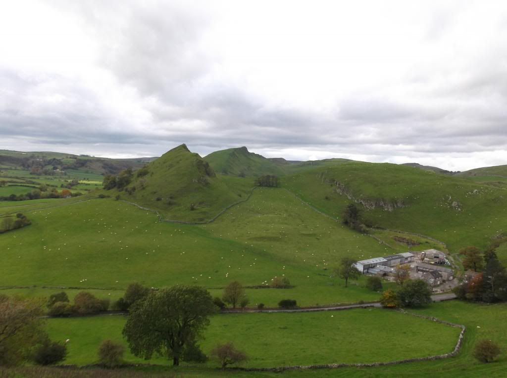
The summit commands some fine views of the surrounding countryside at 425 metres. Here looking south east towards the next highpoint - Parkhouse Hill and the pyramid shaped High Wheeldon...
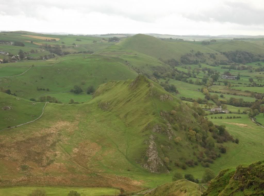
A distant Kinder Scout to the north west from the summit of Chrome Hill...
Moving on from the summit now, and heading downhill towards the next in line of these unusual set of hills...
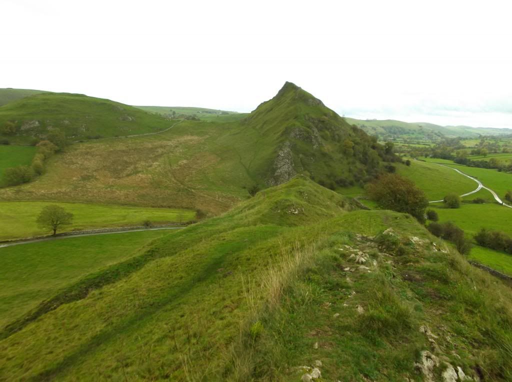
Although both Chrome Hill and Parkhouse Hill don't have an indicated public footpath marked on the OS map, or for that matter a sign posted route - they are these days Access Land. A fairly easy to find path allows you up onto the ridge of Parkhouse Hill, just about visible here in the below picture to the left of the hill...
A pretty steep, and for that matter slippery ascent...
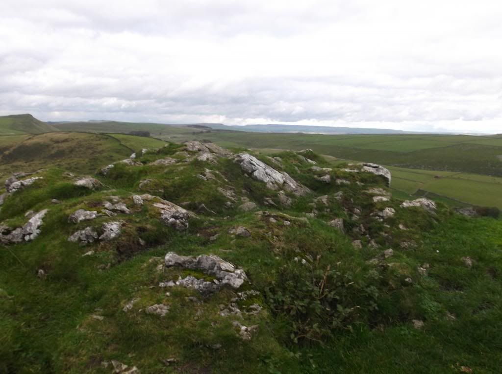
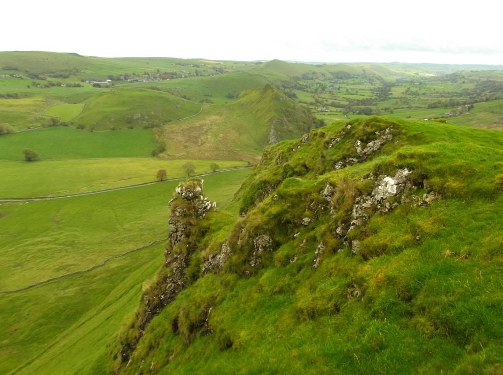
The summit of Parkhouse Hill, again like Chrome Hill has some great views of this part of the Peak District. Here looking back towards Chrome Hill from the summit at 360 metres...
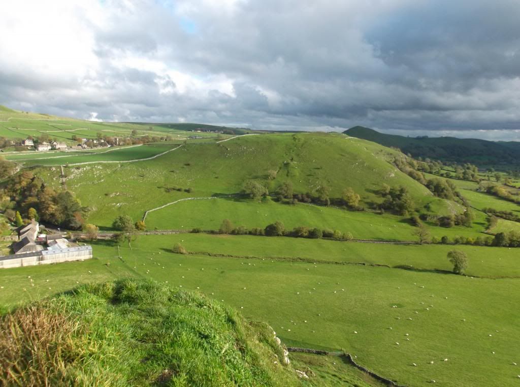
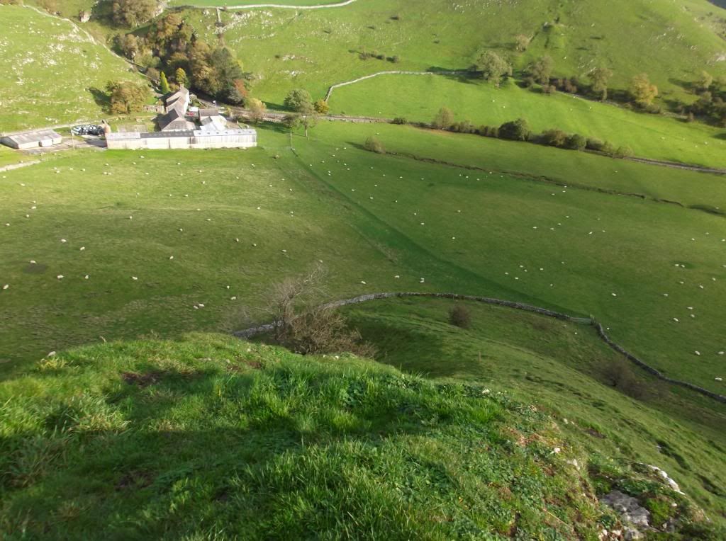
After a quick stop to admire the view in the very strong wind, it was time to move on again. Here the path continues from the summit steeply downhill towards the below fields, where it then cuts towards the farm to left of the picture which is called Glutton Grange. The hill ahead is called Hitter Hill - with High Wheeldon shadowed behind...
Here ascending Hitter Hill looking back towards the ridges of Parkhouse Hill and Chrome Hill...
Hitter Hill seems like a bland place after the previous hills. But the hill offers a high short cut rather than walking the small road at its base. The highest point of the hill is marked by a radio mast...
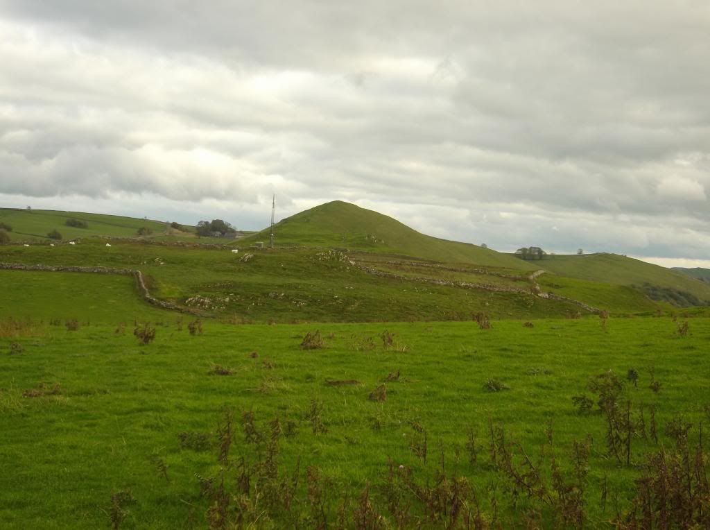
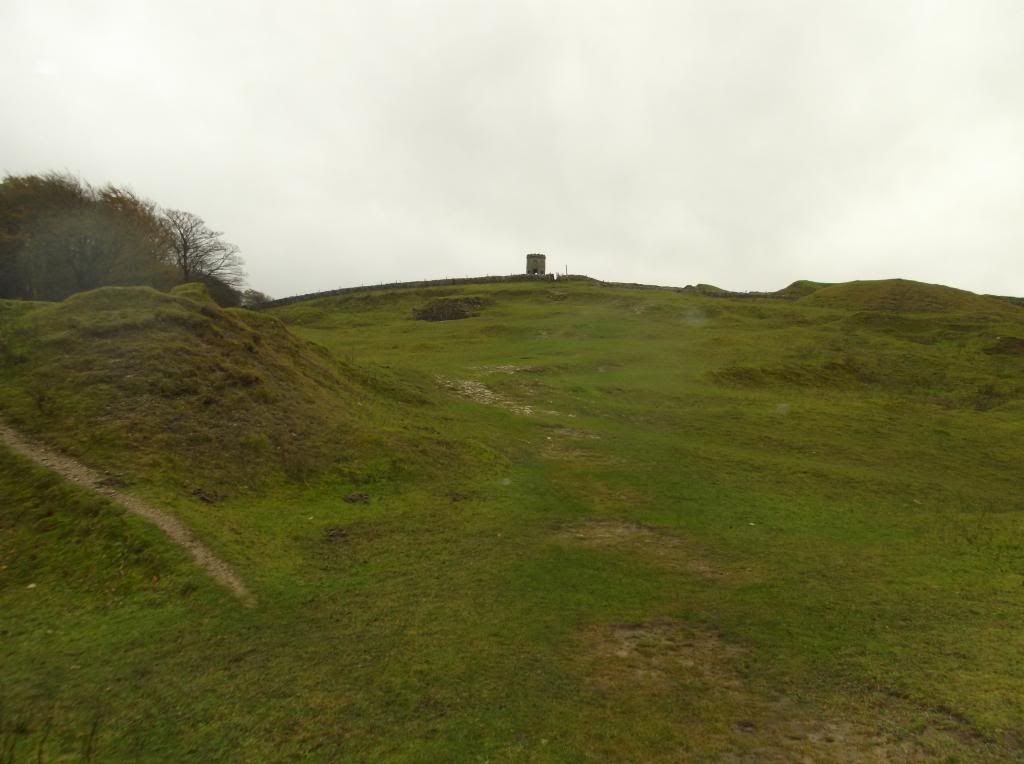
High Wheeldon, the next climb up ahead now...

As with all the hills on this route, there is no dedicated footpath to climb High Wheeldon. After you have got to the bottom of Hitter Hill you come to a small lane. I found a low part of a dry stone wall to scale in order to get onto the slopes of High Wheeldon. So not the easiest hill to get a boot onto - but the hill is well worth the very steep climb.
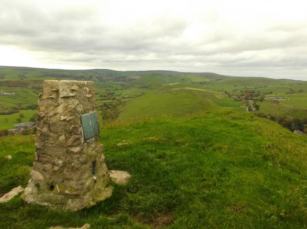
High Wheeldon summit is marked by a Trig Point at 422 metres...
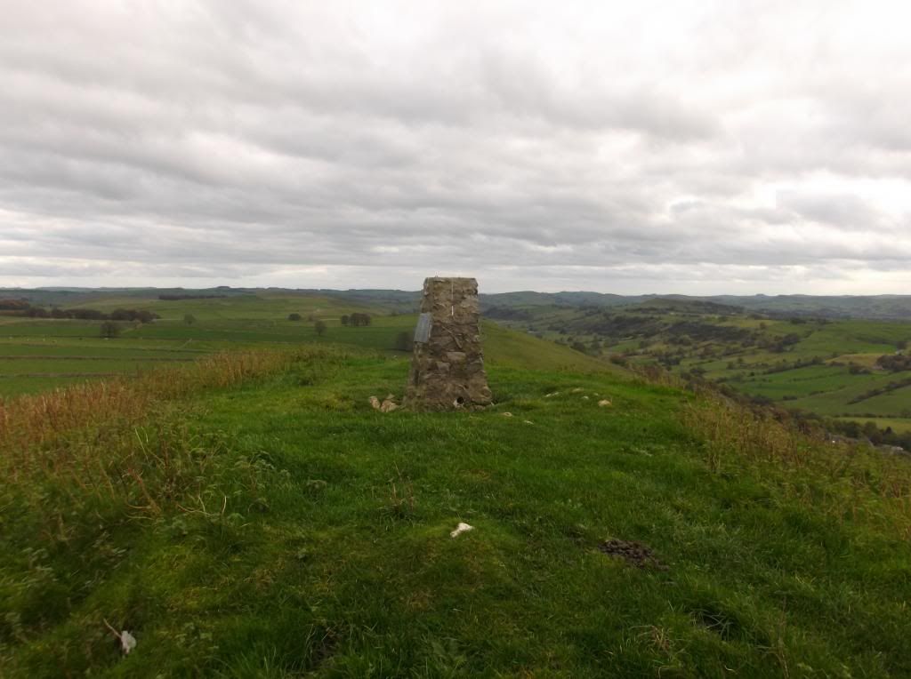
The Trig Point has a plaque attached to it showing the hill was donated to the National Trust in 1946 'In honour of the men of Derbyshire and Staffordshire who fell in the Second World War'.
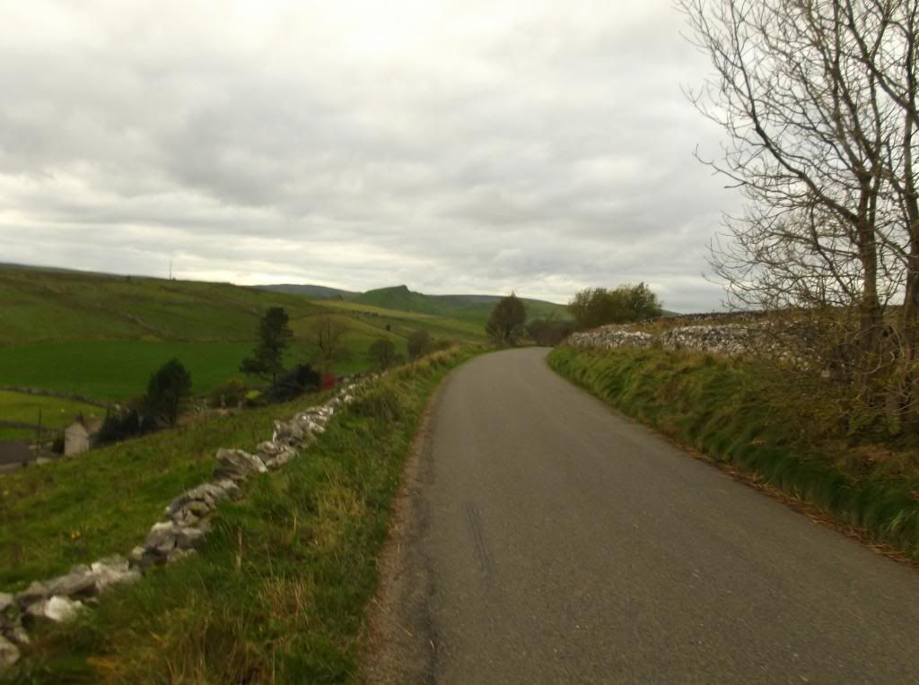
With light as a bit of a concern it was time to return to Buxton. The route now heads downhill and in a north easterly direction from the trig Point towards a small lane at the base of the hill. Turning left onto the lane, there's a bit of road walking now towards the village of Earl Sterndale...

The radio transmitter on top of Hitter Hill to the left again, with Chrome Hill once again visible here...
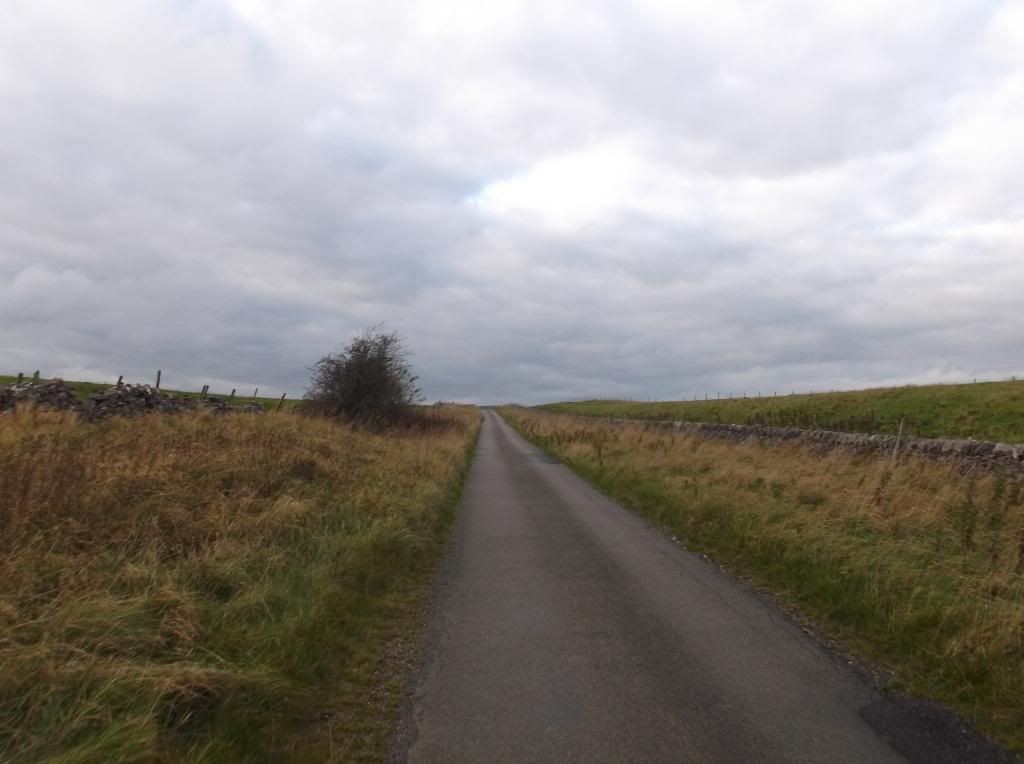
After the village of Earl Sterndale the lane becomes quite steep climbing about 100 metres in a mile...
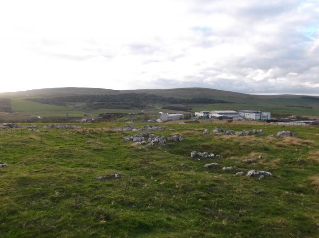
Where the road curls left towards 'High Edge' on the map, a footpath cuts to the right across Staker Hill. This hill has been heavily quarried over the years and from here you also pass around the back of the Health and Safety laboratory. At this point overlooking the lab - you are at the highest point on the walk...
There is a large perimeter fence encircling the laboratory which you need to get through, so you need to stick to the footpath exactly. If you do there is a kissing gate in the fence where the hill starts to descend allowing you through...

From here the path continues past the laboratory then descends towards the A515 - a Roman Road that takes you back into Buxton.
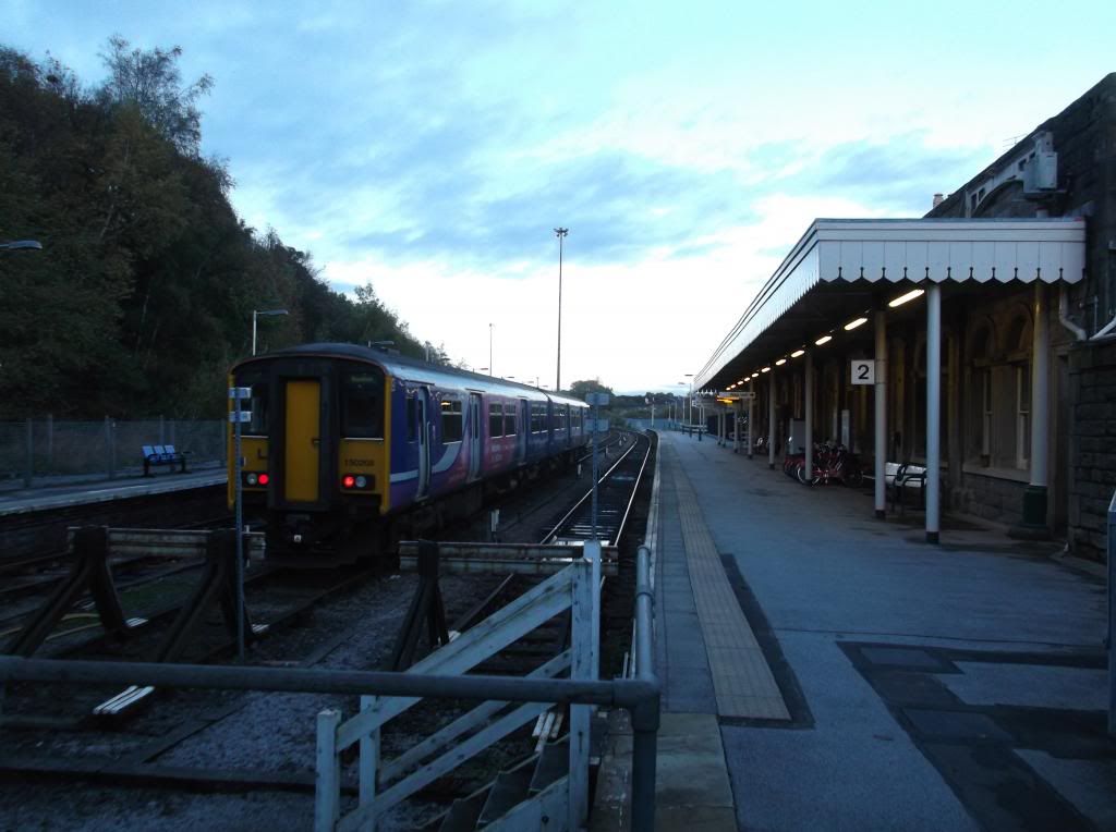
Here back at Buxton railway station at dusk...
This a great little hill walk. Probably best enjoyed in the Summer or late Spring to give yourself plenty of daylight wandering time. This took me 5 hours, but I would allow yourself at least 7 hours so you can enjoy the views and the unusual hills that are Chrome Hill and Parkhouse Hill.
Thanks for reading.

10 comments:
Looks like a great route, I am fairly near the Peak District but haven't walked in that area before- one for next spring!
Hi Steph, thanks. Yes a great set of hills to walk.
Great photos of a super walk. Although I have walked these three hills a few times, I hadn't thought of using Buxton as my start point. Thanks for the route
The weather really does look the same as when I did it!
Hi Trev.
Thanks for the comment, very kind. It was you who had recommended High Wheeldon - so many thanks, a good hill to bag in with Chrome Hill and Parkhouse Hill.
Cheers Dave.
Yes a bit spooky that - thanks!
Great write up and pictures, as usual, Steve. Some of those hill formations look pretty unusual, and not exactly crowded judging from the photographs.
You must have kept moving at a pretty decent pace to fit in that circuit in the time available.
Hi Dave. Many thanks, yes fairly quiet considering it was a Saturday and the Peak District. I was pushing it for light - as you can see from the last photo. I try and keep to around 3 miles per hour in order to get a good distance in on a walk - and to get my money's worth from a rail ticket of course! Thanks again.
Two of my fave hills living in Buxton. Great write up of a great walk. High Wheeldon also a cracker. Great pictures too.
Hi John,
Thanks for your comment, glad you liked this one. Yes a great walk in a great part of the country.
-Steve.
Post a Comment