Location: Yorkshire Dales National Park - North Yorkshire
Height: 723 metres (2,372 ft)
Summit Type: Flat/Rocky
Notable Summit Objects: Trig Point, Wind Shelter, Cairn
Range: Pennines
Description:
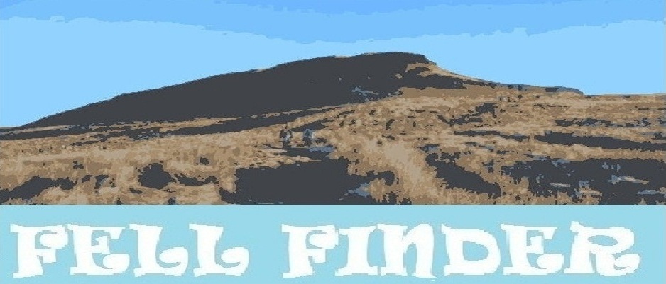
At the second highest point in the Yorkshire Dales National Park behind Whernside, Ingleborough is a striking looking hill that is mainly walked as part of the Yorkshire Three Peaks Walk. It is of course also a popular destination on its own with it being arguably the most popular of the Yorkshire Three Peaks. The summit of Ingleborough is a large flat topped, rock strewn plateau that in low cloud can be a forbidding place due to the fact there are no visible footpaths. The path off the summit plateau towards Horton in Ribbledale is easy to lose in low cloud or even on quiet clear days, as only a white blob painted onto a bulder indicates the route down, you can easily walk straight past it, as happens with many a 'Three Peaker' .
The mountain is accessible from many locations, including Horton in Ribblesdale, Clapham, Ingleton and Chapel le Dale. The walk from Horton in Ribblesdale is a relatively long ascent direct from the train station or from the village itself. The ascent from Clapham can be done in a long circular walk, including from its not so well known train station. The ascent from Chapel le Dale is the quickest, and is the route you take when walking the Three Peaks Walk, but with most quick ascents, this involves a very steep ascent up what looks like a near vertical cliff face when stood at the base of the mountain.
The popularity of this peak is helped by the superb views from its summit, to the north is the highest point in the Yorkshire Dales -
Whernside, to the north east are the northern Dales including
Blea Moor, Wold Fell, Great Knoutberry Hill and as far as
Great Shunner Fell. to the east the summit plateau is so large it obscures the view from the summit Trig Point, however a short wander across the plateau provides excellent views of
Pen-y-ghent. South gives views as far as
Pendle Hill, the south west view is mainly of the Forest of Bowland including Ward's Stone and Clougha Pike, however the western views provide the finest views in probably the whole of the Yorkshire Dales with views of Morcambe Bay to the west and towards the mighty Lake District fells to the north west. A truly awesome panorama.