A linear walk, 7.9 Miles 2-3 Hours.
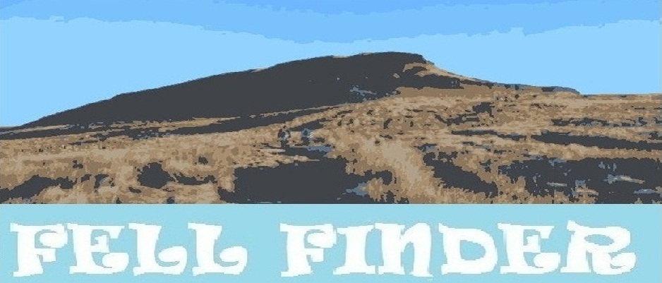
On this day I fancied a trek that was fairly local. The Chevin is a ridge which stands above the village of Otley and is known locally as simply 'Otley Chevin'. It's not exactly K2 but it commands some good views of Wharfedale.
This walk begins in the town of Menston and is an easy one to do via public transport.
On arrival into Menston via the train, the weather was cold, but clear and it felt good to be out walking on such a day. The Chevin is visible from the station and on this day looked great.
Walk out from Menston Station, and turn left up a residential street towards the busy A 6038. When you reach the A 6038 cross over it and turn left again, and follow the road passing a traffic island after about 400 yards, continue on until you see a footpath sign on your right...
Take the footpath right, you will need to cross over a few stiles as the foot path crosses over farm land...
A frosty footpath...
The path comes out onto this open field. You can just about make out a trail through the grass in the below picture, keep to this and from here the path crosses over another stile, then cuts up the side of a horse paddock, this has an electric fence to its edge, so watch out!...
Otley comes into view...
When you make it past the horse paddock you will come to a road. This can be busy even though it's basically a country lane. Turn right at the road, and walk upwards for about 15 yards. Then on your left you should notice another lane going steeply up hill with a static caravan/chalet park next to it...
The lane you need to head up...
Follow this lane for a good half mile until you come to a junction. Turn left at the junction. Be careful here as there is no foot way, and you have to walk up a rough grass verge for most of the way to avoid the traffic...
After about another half mile of walking this fairly steep road, you will see another foot path sign on your left which you can see in the below picture opposite the three wheeled car...
When you get to the footpath, turn left through a squeeze stile and continue towards the edge of the trees on the other side of the field...
Some nice views from the field towards Hawksworth Moor...
When you reach the trees on this side of the field, cross through this squeeze stile, through the wall and turn immediately right, keeping the dry stone wall close on your right, following a well walked foot path...
The path drops down a little here into some woodland...
Boulders in the woodland...
Continue past the boulders...
And now continue back up hill through the woods towards the dry stone wall again...
The track now becomes even more defined...
When you reach this marker, go straight ahead and continue towards 'Surprise View'...
Looking down onto Otley from Surprise View, the summit of The Chevin at 282 metres...
A distant Almscliff Crag...
The today slippy path now cuts down hill, then you need to cut right along the ridge of The Chevin...
The path now ascends again here curving right, then left up onto this more rocky view point...
Looking south east towards Leeds & Bradford Airport...
In the below picture, you can't really see it here, but you could just make out the snow covered Great Whernside on the horizon...
Looking east across The Chevin ridge towards the tree covered Chevin Forest Park...
Head east now on the well walked, and busy path, eventually coming to a gate which leads onto a bumpy lane that heads steeply down hill...
At the end of the lane you come to another road. Directly opposite you will see a foot path sign leading into the woods...
Follow the path right, this follows the road for a bit through the trees. It then takes you towards Chevin Forest Park car park...
From the car park, cut towards this wide track way that takes you through some woodland. There is some interesting sculptures here too...
After about 400 yards turn right and follow the track around, which starts another slight ascent...
Continue along this footpath...
After a good 400 yards, watch out for the Trig Point of 'Caley Deer Park' at 242 metres on your left!...
Head back to the track again now, and continue for about half a mile until you reach this T junction. Turn left here heading down hill slightly...
After walking for a short while you should see this foot way. Turn right onto it...
At the end of the foot way you come out onto this path. Continue along it, it will take you onto a residential lane...
Ignore the footpath sign on your right here, and continue along the residential lane, then turn left at a T junction towards the busy A 660...
The formidable A 660 was particularly busy on this day, so watch out when crossing over this blind corner. The house in the below picture is well known locally, and I have to admit I would be scared to live there too!
Where the lane opposite cuts off, look out for the foot path sign next to the national speed limit sign...
Head through the squeeze stile in the wall, and follow the foot path which lies parallel to the edge of the A 660 for a time, this then heads steeply down hill across an area known as 'The Deals'...
Into the shadow of the Chevin making the air feel a lot colder. From here there are some great views along Wharfedale towards Ilkley Moor, and Airedale...
Looking up to Chevin Forest Park...
The path way from here cuts through Caley Hall Farm Yard, go through watching out for the footpath sign above the wall here...
Once through you come out into a large field, cut left and keep the below fence on your left as you walk across the field...
Cross a small lane, then cross over this stile, and head directly across this boggy field...
This was a little bit tricky to see, but look out for this collapsed stile, with no visible footpath sign at the edge of the boggy field...
Then continue across the field keeping the hedge to your right until you reach a farm gate on your right hand side...
Go through this gate and continue across the field to the fence on the other side. Then cut left following the fence along the edge of the field. You are now next to an old railway track bed, continue across the fields keeping the embankment of the old track bed to your right...
The path now drops down to allow you to pass under the track bed via an old tunnel...
After passing under the old tunnel, cut immediately left over this stile...
Keep following the path keeping right...
Then cut left here, you should now finally see the edges of the Cambridge Estate, a seemingly rather nice part of the village of Otley...
Continuing across the muddy fields towards the estate...
Once you hit the houses, it is a matter of following either the road, or as I did cutting through the various alley ways between the houses in order to reach the village centre. There are some great old pubs in the village, I would recommend them, and the market is always worth a visit too.
Now to wait for my bus to take me back into Leeds...
Another good one for a Sunday stroll, especially in winter when the days are short. The Chevin is a great place in itself, there are many sculptures and trails to find on it, and is easily accessible from Otley without having to do this particular walk. A good day out for all the family.
Thanks for reading :0)