15.4 Miles 5-6 Hours
I had a few days in my home county of Shropshire to get some quality walking in. My first port of call, is the highest point in a range of hills called the Long Myndd, that hill is called Pole Bank.
So a 15 minute train journey from Shrewsbury later I was in the lovely town of Chruch Stretton, an absolute must place to visit for anyone who loves hills. I don't think there has ever been a time where I've got off the train there, and not felt a slight bit of excitement.
Here crossing the over the railway bridge, and then following the lane around to get to the main street...
At the top of the main street, turn right and follow Shrewsbury Road for about 400 yards. You will then see on your left the entrance to the Carding Mill Valley...
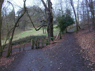
Keep to the lower road here...
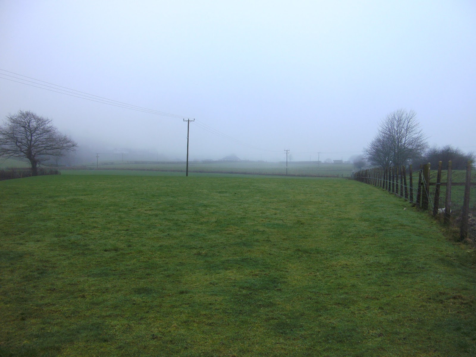
This is the one of the main car parking areas for the Carding Mill Valley. Today it was nearly empty!
The guy you can just make out on this picture I ended up getting talking to, as you do some other hill walkers, and he told me he was almost completely blind, and nearly 90. I couldn't help but think what a truly amazing person to be still hill walking. It also turned out that he used to be a keen Fell Runner, but sadly had to give that up. What a pleasure it was to meet such a person, a sort of Alfred Wainwright of the Shropshire Hills, that's one of the things with hill walking, its not only the walk, but the people you meet that makes the day.
Continuing up the Carding Mill Valley, keep to the left hand smaller path here crossing over the stream...
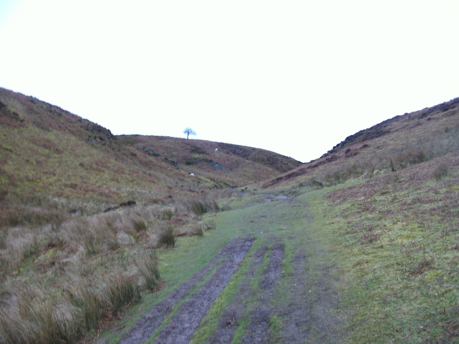
Onto the off road stuff, the hill on your left is Cow Ridge, and on your right is Haddon Hill...
When you reach a fork in the path, take a left, crossing over a small stream. This path takes you a bit steeper up hill following the edges of Cow Ridge....
A good old rocky Shropshire Path this one, no ice today though...
At the end of this section of the pathway, you come to this slight waterfall. To your right is a well made set of steps built into the rock to aid you over this rocky out crop...
Once over the steep set of steps, its then onto a boggy section of the walk up towards the edge of Wild Moor...
And finally out onto the wind swept Wild Moor. You need to follow the path straight ahead here, following the way markers until you reach a wide bridleway...
On the below picture you can just about make out the bridleway cutting across left to right. Cut straight across it, and head towards the wooden bollards you can see. To the left of them is the path you need to take...
So now take the lesser path to your right. The way pointers now indicate you towards Pole Bank...
Here the path cuts across one of many little lanes that cut across these moors. And there surprisingly pretty busy...
Pole Bank finally comes into view...
Continue straight ahead here...
Pole Bank summit Trig Point and Toposcope, at 516 Meters...
Looking towards my next objective sticking up on the horizon, The Knolls...
It's now a matter of descending from Pole Bank, and heading onto a lane known as The Port Way, it is also part of a long distant trail called the Jack Mytton Way...
Turn right when you reach The Port Way, and follow it for a 1.5 miles across the moor towards the Gliding Club...
Looking down Callow Hollow...
When you reach the Gliding Club, turn left through its gates and stick to the lane...
The rain was starting to lash down now, and the wind was pretty strong too. This is a dangerous place to be in the summer, and you may be stopped from walking along this section due to any gliders in action. There is however, a footpath that allows you to walk around the site, which you can just make out to the right of the lane in the above picture, next to the information board.
Here, crossing over the Gliding range...
When you have crossed the Gliding Range the track splits again here, take the right hand track. The left hand track is marked as private despite it not indicating that on the map!...
Continuing on in the direction of Plowden according to this sign...
The track passes through this gate, then continues on for another quarter of a mile...
Cut left here through the below gate, which leads onto a track up across the side of The Knolls...
Looking back towards Pole Bank...
Aha! The Trig Point at the summit of The Knolls!!...
The Knolls Trig Point with Pole Bank behind...
Heading back to the track again now, and continue upwards towards a plantation. Pass through the gate here, and follow the main forest track down hill for about half a mile...
Keep straight ahead here...
About half mile from where you entered the plantation you will come to this fork in the road. Go left here...
The track then comes out onto farm land. Go through the Kissing Gate in the below picture, that brings you out onto an open field...
You get a good view of the Clee Hills from here too. Descending the steep field that is Priors Holt Hill...
Neighbouring Packetstone Hill, with Ragleth Hill beyond, and the great Caer Caradoc Hill furthest..
A path soon becomes visible...
When you reach the bottom of the hill, you come to this fencing. Cut sharply left, and follow the path further down hill keeping the fencing on your right hand side...
A path then heads steeply up onto the cow pasture, and follows around to the left...
There are way markers in the field to guide you...
A very industrial looking gate leads you out of the field and into some woods. That path then comes to a lane...
Turn left onto the lane...
Heading through the village of Minton...
Turn left here...
And straight ahead here...
This was a bit disturbing, if a car came speeding down here now...
After about a mile and a half of road walking, you reach the village of Little Stretton...
Now at this point if you wished, you could head back to Church Stretton by keeping to the road. But I had got bored with road walking, and those hills just looked to good to leave behind just yet. So checking my GPS, I noticed that the Ashes Hollow was not to far away, and so decided to add a bit more onto the trek!
So now, keep the stream to your left here, head up this small lane...
At the end of the lane, cut over this small wooden bridge, then head right over a stile...
The stile leads you out onto a field which is seemingly used a camp site at better times of the year...
When you reach another stile on the other side of the field, cross over it and pass a farm house. This leads you out onto Ashes Hollow...
Turn left here up into the great Ashes Hollow...
This is National Trust land, so you can expect another well maintained footpath...
Approaching the top of Ashes Hollow now...
Your almost back to the summit of Pole Bank again at this point, this is the bridleway you need to cross in order to get to it. But this time turn right and follow the bridleway for about 150 yards...
Then cut right here following the grassy track for a good mile...
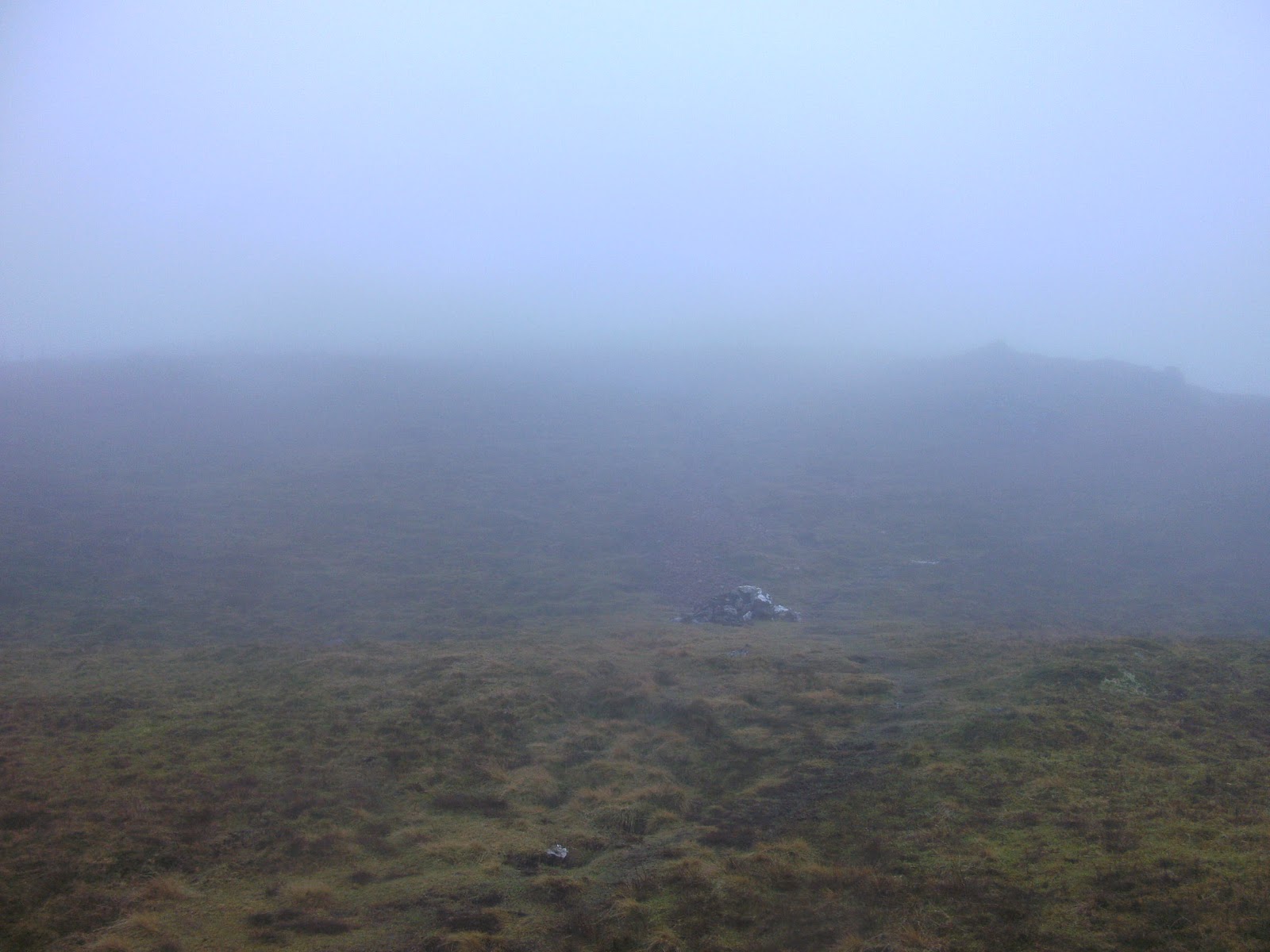
Low cloud on Wild Moor...
Keeping right here...
After about a mile, just before you reach the edge of the hill in the below picture (called Long Synalds) follow the left hand path steeply down another hollow...
Heading back to Church Stretton now, looking towards Devil's Mouth...
When you reach the bottom of the hollow you pass by this small reservoir. At the end of the reservoir is the entrance into a hidden gem in Church Stretton, Rectory Woods...
Heading into the woods, keep left here on the main track...
Keep following the path through the woods, eventually you will come to a gate leading you out of the woods and onto a well made set of wooden steps. That path leads back into Church Stretton...
Fantastic wood carving at Church Stretton Station ending a great hike.
This was a tough old hike again, but a great one. You could make this into a much smaller walk by cutting away from doing Ashes Hollow from Little Stretton. Also you could walk to Pole Bank summit from Carding Mill Valley then cut back down Ashes Hollow as a return to Church Stretton, which is what I was thinking of doing, that was until I noticed a Trig Point at The Knolls - that had to be bagged.
So thank you once again for reading all the way through this one, and I hope it has inspired you to visit this wonderful part of the country.