
A linear, or 'station to station' walk 21.8 miles, 9 - 10 hours.
An epic hike across the highest part of the Pennines that also takes in one of England's most amazing natural features - High Cup.
It's taken me while to put fingers to keyboard to finally type this stroll up, which I can only apologies for! This walk was heavily debated prior to actually doing it. Number one, it's a linear walk, that never proves popular with those lucky enough to own a car in these troubled times. Secondly it's a walk of some considerable length, a tough 21.8 mile walk 'station to station', but stay with me, this one is a fine walk, and certainly one to remember.
Section 1 of 3. Appleby-in-Westmorland station to High Cup Nick.

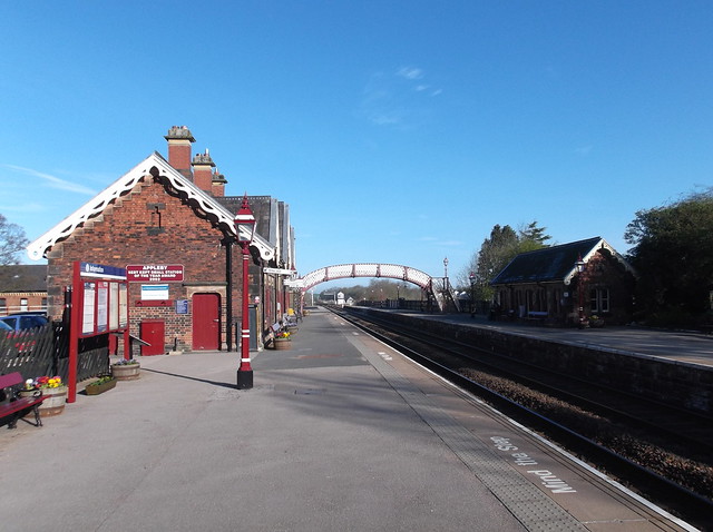
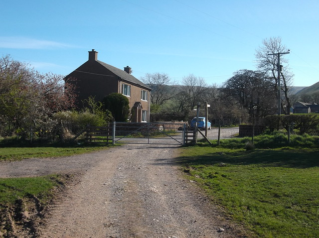
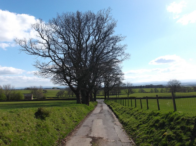
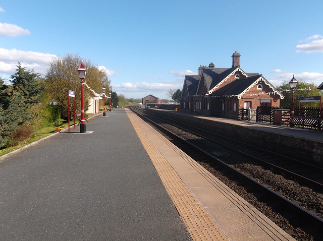
It was an earlier than usual start for this walk due to the distance to be undertaken. Here arriving into Appleby-in-Westmorland station at 08:15am...
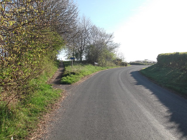
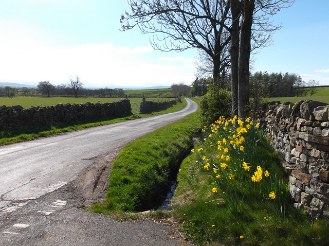
The route heads out from the station and follows the road under the railway. The road you're following cuts right after 400 yards, but a footpath continues here straight ahead towards the A66...
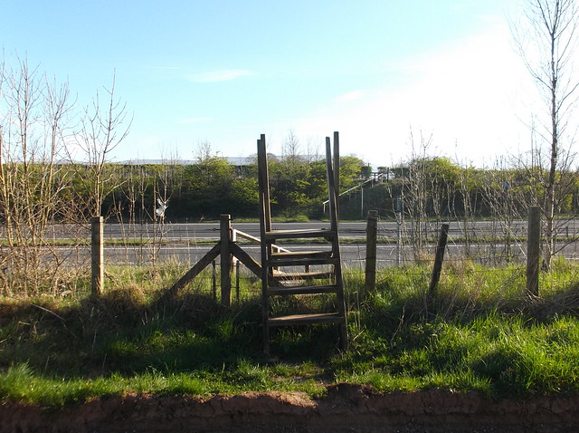
The crossing of the A66 is a strange affair, rather than the luxury of a bridge, instead you cross over the stile, head over the first carriageway to the central divide where the footpath is marked out for your reassurance, The footpath then continues up the embankment on the other side...
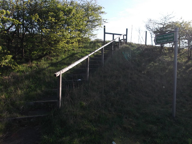
My route now continues across a small lane, and over another stile and out onto this pasture - marked down on the map as 'Hungriggs' - with a distant Cross Fell on show here...

I cut right on the other side of the pasture and followed this small lane a for 200 yards or so, before heading left along an overgrown footpath...
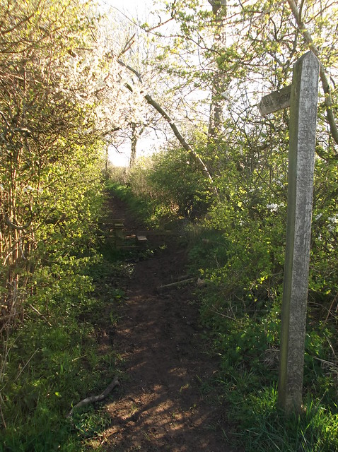
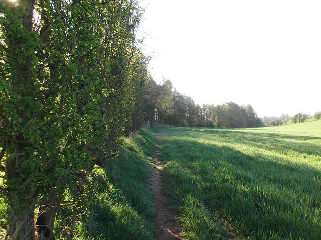
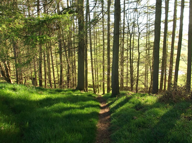
The footpath remains relatively easy to follow at this stage heading across farmland. Here cutting through woods...
Strange shaped ground becomes the footpath at this point...
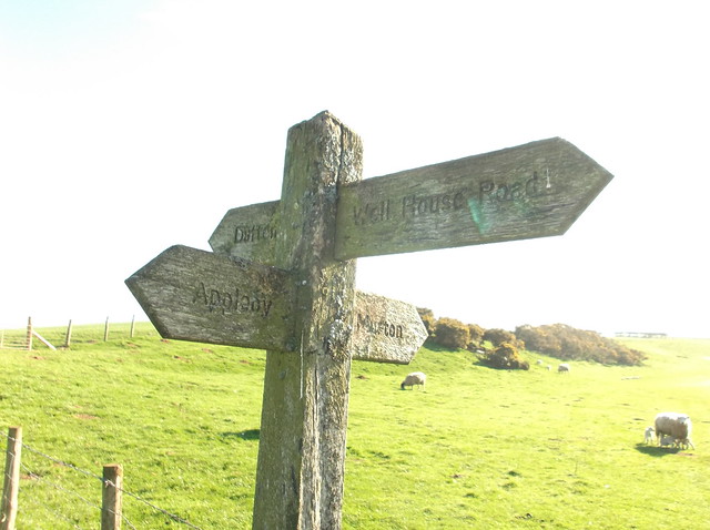
Following the sign for 'Murton'...
Just before you come to 'Shepherds Cott' as marked the map, you come out onto this lane where you need to turn left. Here the beautiful looking Murton Pike sticking up ahead...
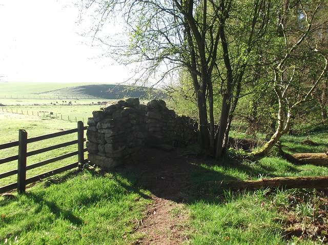
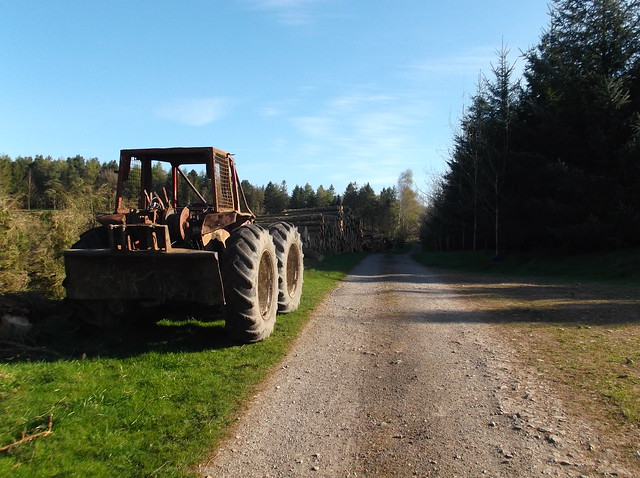
Just after Shepherds Cottage you head through a large forestry plantation, that like in most parts of the country are being reduced to pulp to make way for mixed woodland...
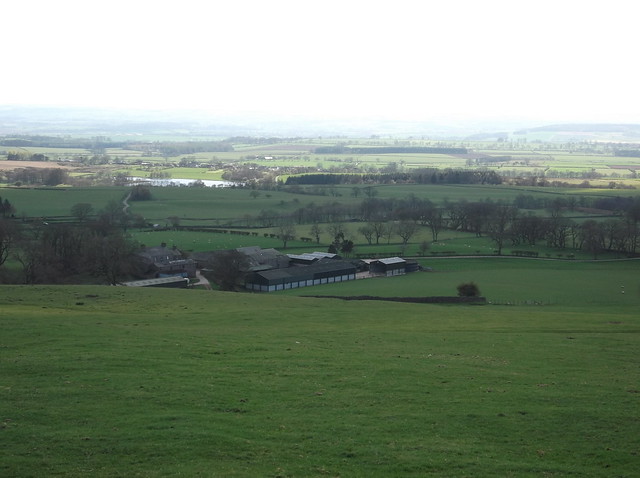
Here heading towards Brackenthwaite farm...
The footpath I followed heads through the farmyard and out onto a pasture at the rear...
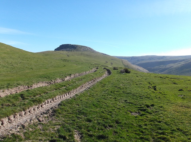
Murton Fell to the right and the upcoming High Cup to the left...
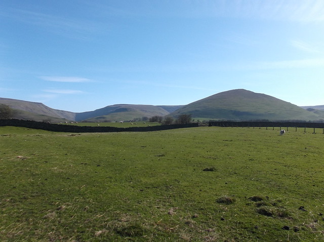
Beyond the two sheep, one of the finest fells in the Lake District, a distant, and bizarrely currently for sale Blencathra, on the other side of the Eden Valley...
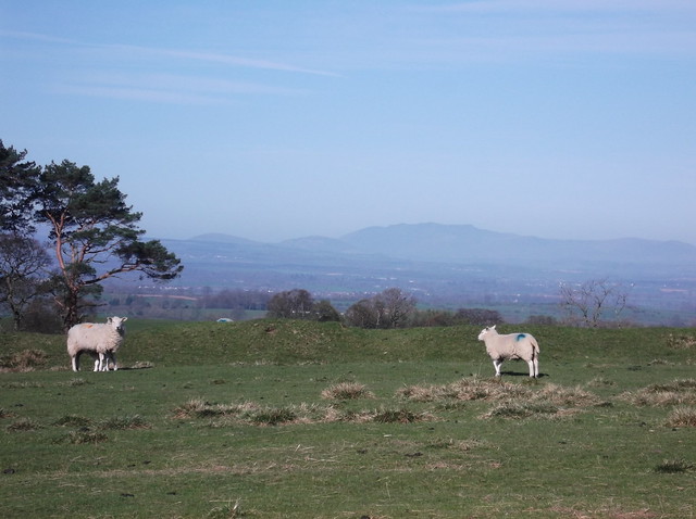
This was a truly stunning morning...
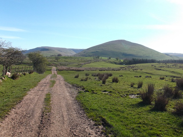
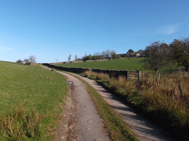
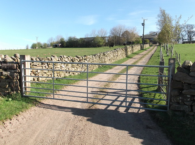
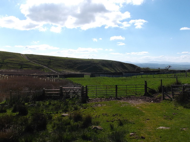
The track cuts across this small lane and heads in front of the house towards Habour Flatt farm...
The path cuts through part of the farm, but then cuts sharply left to by pass the main workings. The route then becomes a rough and well trodden path...
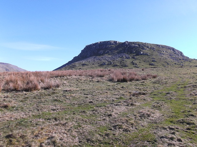
And it's here you get your first climb of the day, and it's pretty steep too...
The track continues to climb about 250 metres in half a mile, getting you warmed up for the rest of this one. The rounded craggy high point ahead here is called Middle Tongue...
The route cuts to the left of Middle Tongue and begins to descend...
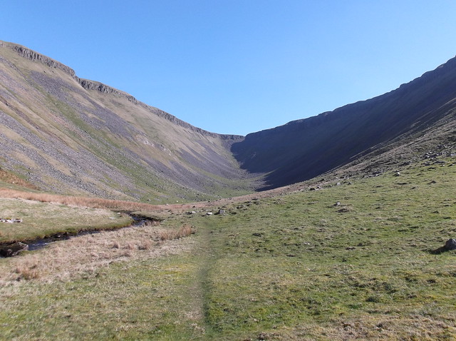
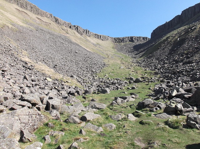
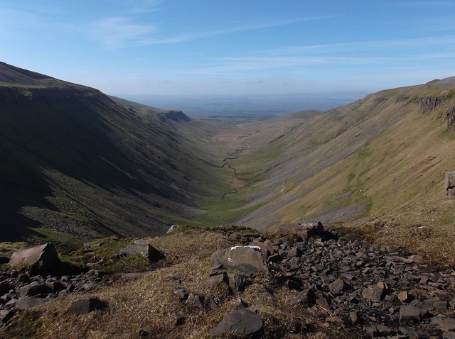
This then brings you out onto the valley side of the stunning High Cup...
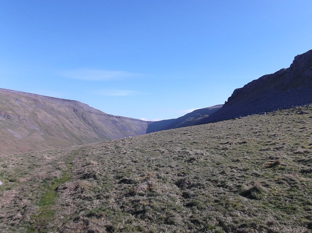
It's a big descent really as you head towards the valley bottom, more or less descending the height you have just ascended on the other side of Middle Tongue. But the view will be a welcome treat for your hard work...
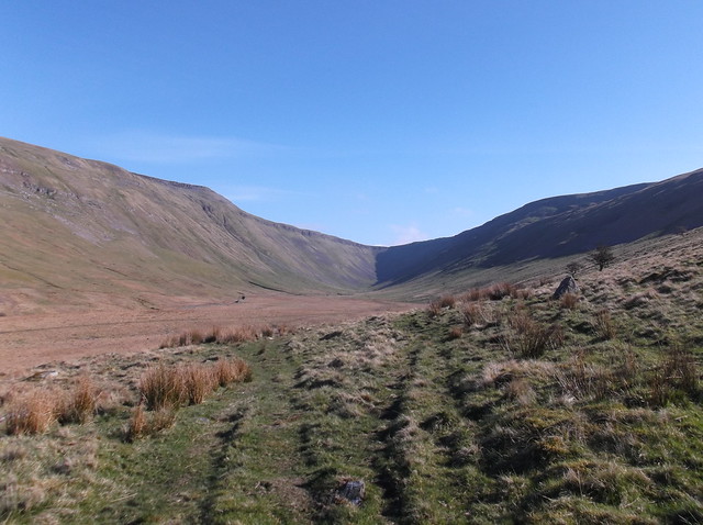
A bitterly cold wind was cutting through the valley letting you know it was still April despite the sunny weather...
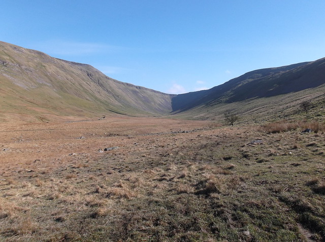
As you would expect with a valley floor, and a saying I type quite a lot, it's a bit boggy...
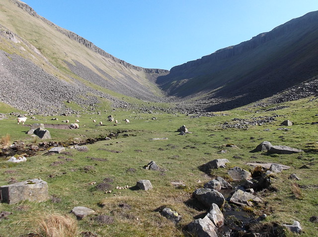
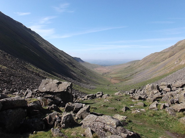
High Cup Nick is the name of the waterfall that cascades over the head of the valley during high rain fall, High Cup Gill is the stream that flows along the valley floor, that eventually becomes the Trout Beck. The whole valley however, as a land feature is called High Cup.
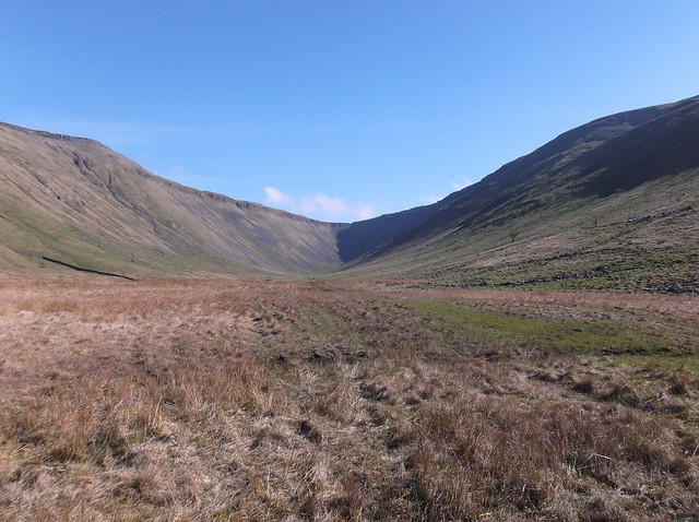
Where two heads of the High Cup Gill emerge from underground here...
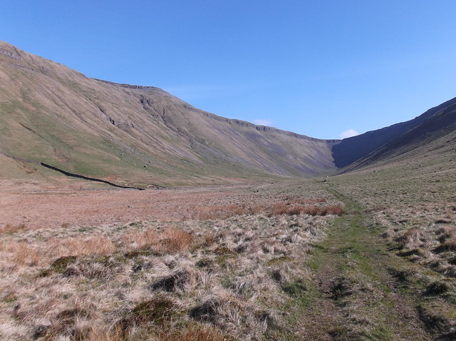
Heading across the boulder strewn area at the base of High Cup Nick...
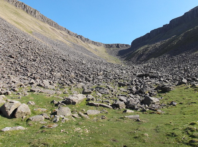
And starting the ascent of High Cup Nick now...
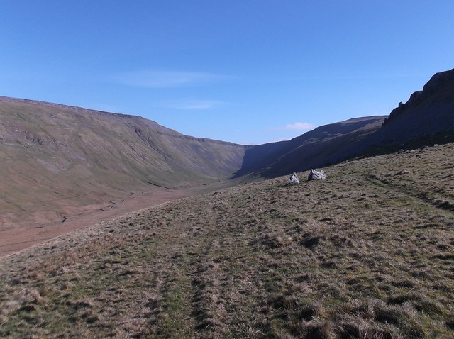
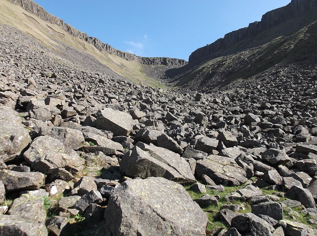
Looking back along the valley...
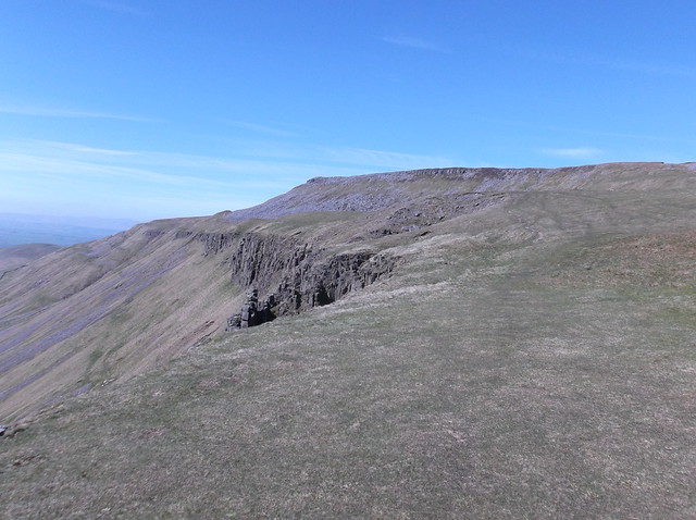
About to head through the Whin Sill rock layer here...
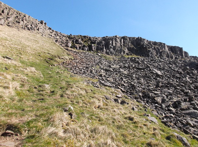
And eventually to the top of the awesome High Cup Nick...
Section 2 of 3. High Cup Nick to Cross Fell.


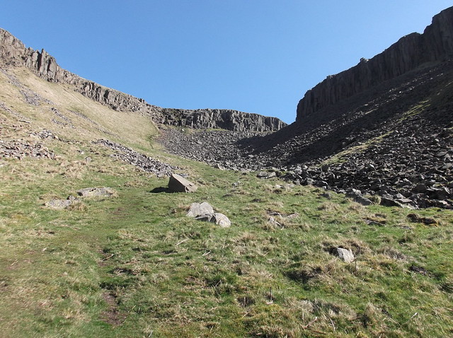
The route heads now from the top of High Cup Nick, across the moor, towards the higher ground here in the below picture...
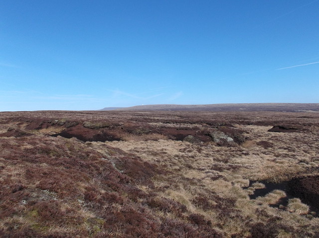
It's a bit of a scramble up the side of the moor that brings you out onto the desolate wilderness that is a massive area of boggy land called Dufton Fell...
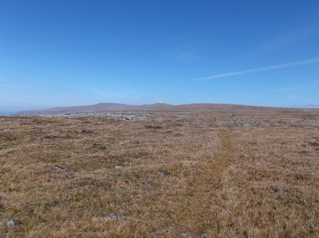
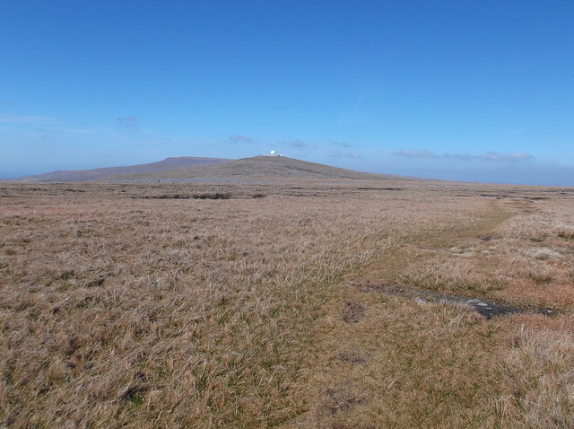
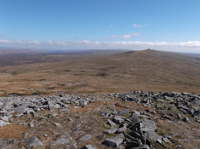
Something reminiscent of Kinder Scout, but on a larger scale, Dufton Fell comprises of peat hags and marshy ground. A slightly reassuring sight on this part of the walk is that of the Radar dome (the white dot) situated on the top of Great Dun Fell in the distance ahead...
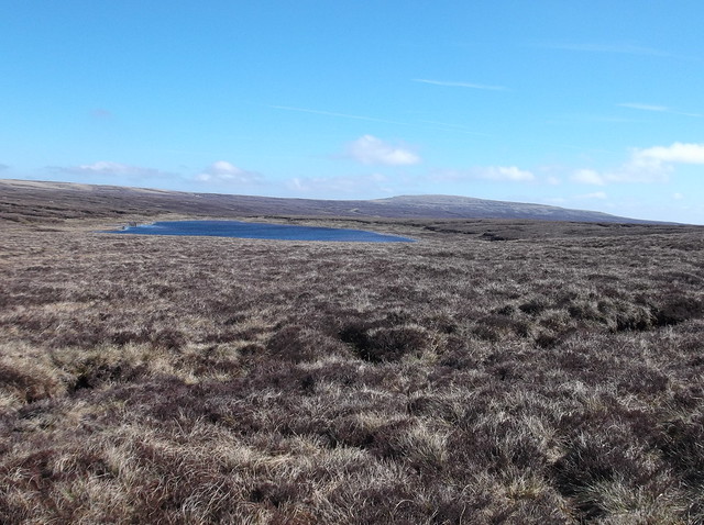
The route cuts between two fair sized tarns, here Little Rundale Tarn to the left...
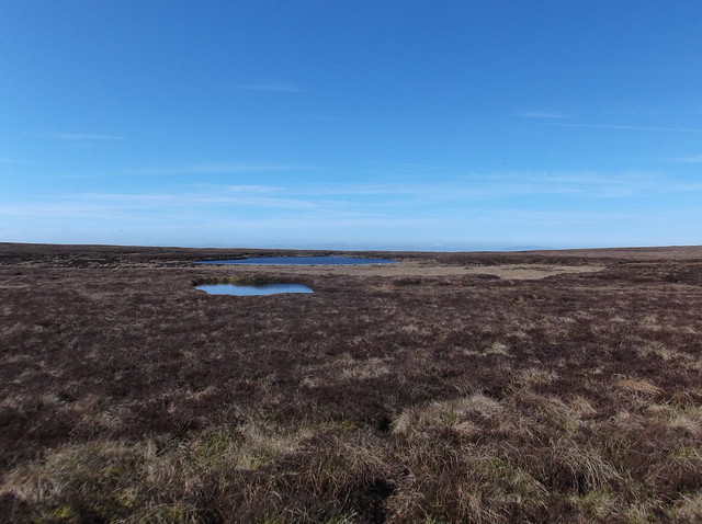
And a partially dried up Seamore Tarn to the right...
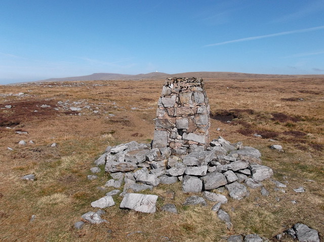
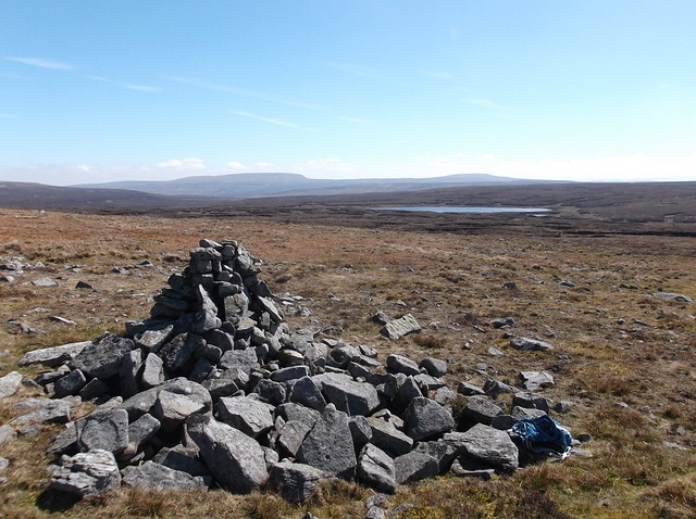
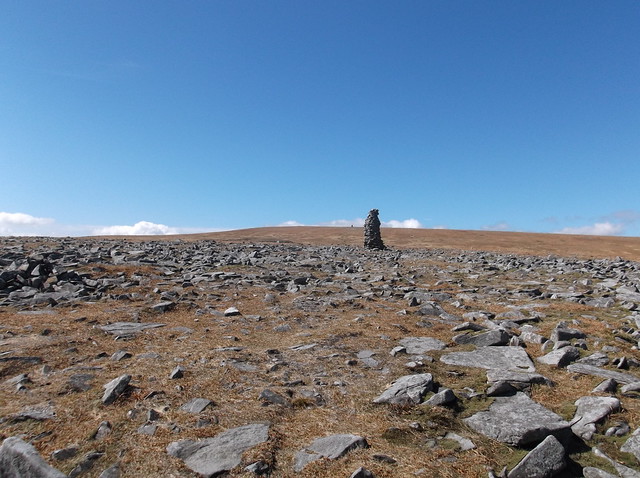
The route brings you to the edge of Dufton Fell, and of course there's no chance I'm bypassing a Trig Point...
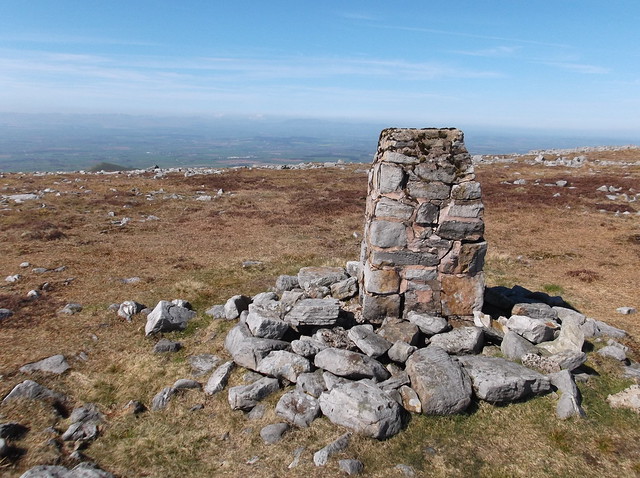
And the Trig Point in relation to the upcoming terrain...

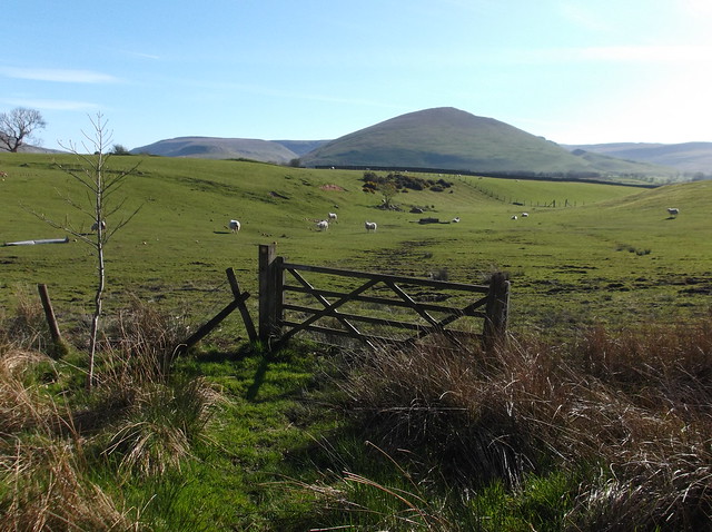
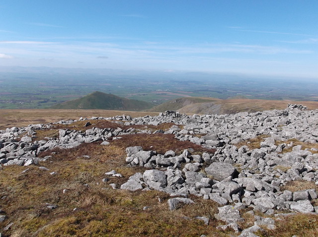
Dufton Pike to the left with the Eden Valley stretching out ahead...
Time to continue the route...
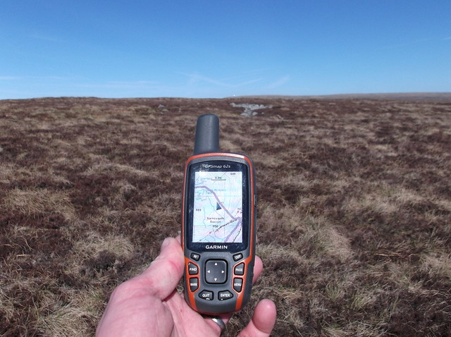
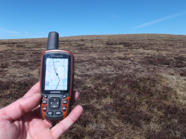
The GPS being regularly checked on this part of the walk...

Passing Great Rundale Tarn here, with the high point of Meldon Hill beyond...
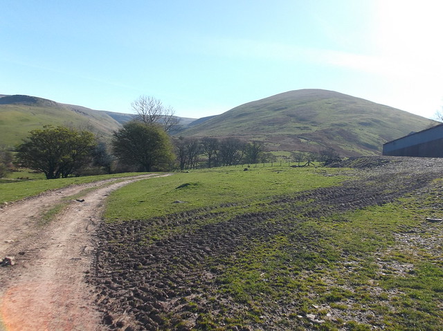
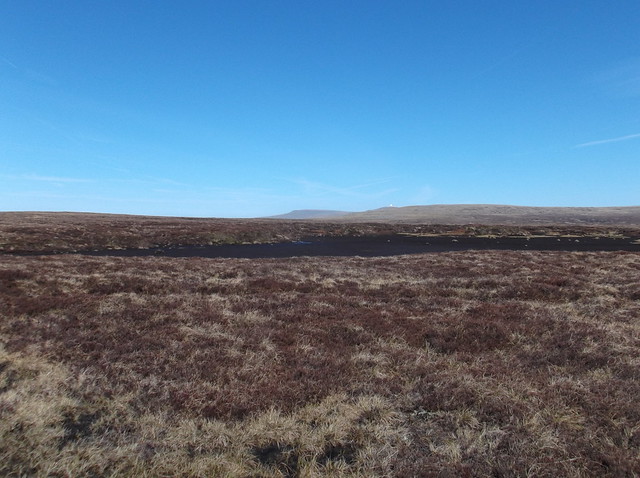
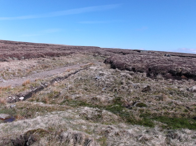
Although not marked on the map, this rough track was a truly welcome relief after the peat hags and high tufted grass of Dufton Fell...
The track forks and I cut left to pass this small hut. The right hand track continues past Great Rundale Tarn and on across the moor, this was also fairly busy with walkers, not bad for a track that isn't marked on the map!

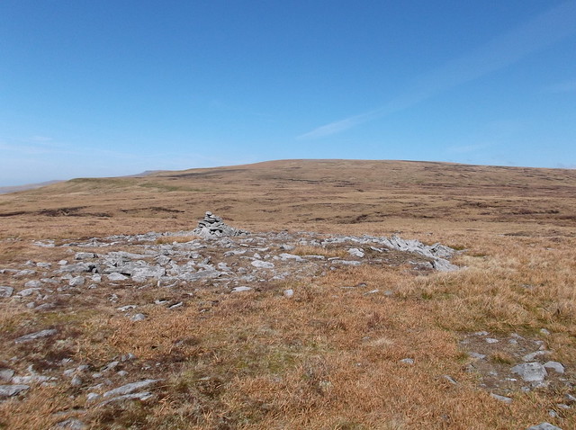
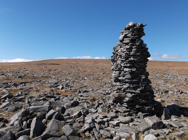
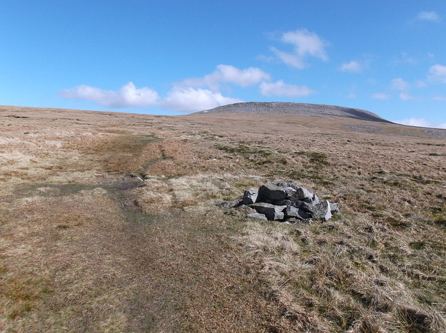
The track that passes the hut soon ends and you're back onto more tough terrain, this time the edges of High Scald Fell. Here heading towards a distant cairn...
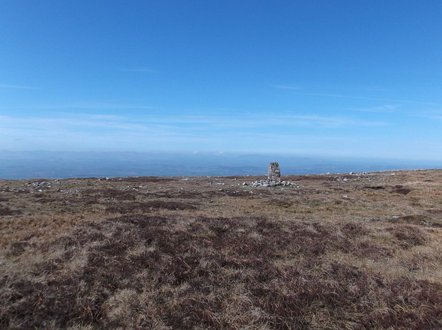
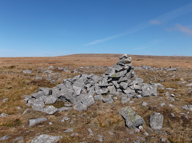
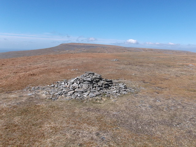
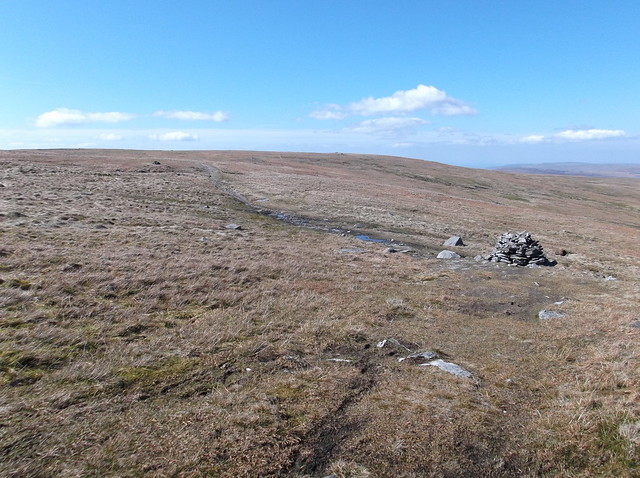
The cairn seemingly marks a high point of High Scald Fell at 716 metres...
Here looking back towards the mass that is Mickle Fell to the left and Little Fell to the right, with Great Rundale Tarn again...
You could argue that this terrain is tougher than Dufton Fell, as with High Scald Fell you are continually climbing too. Here approaching the upper slopes of Knock Fell...
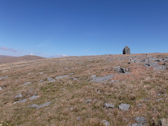
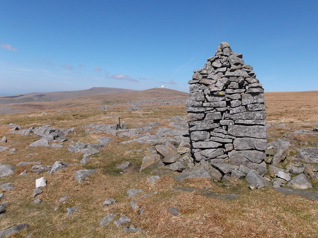
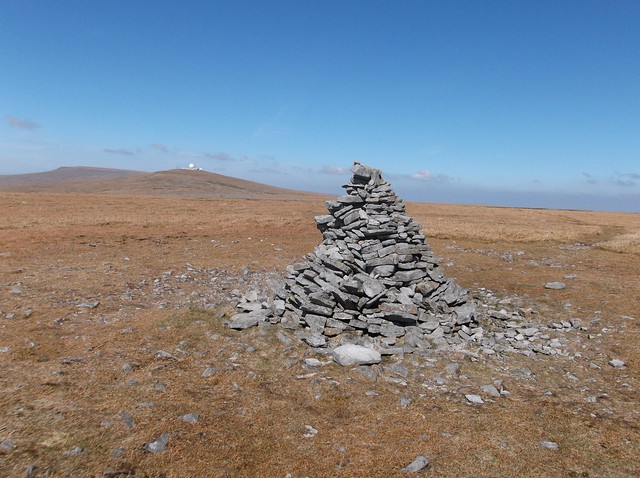
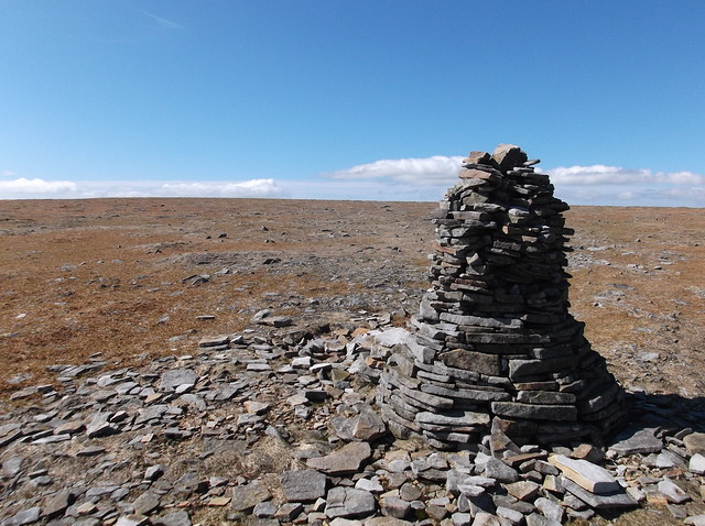
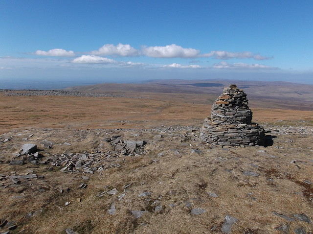
The rather impressive cairn on Knock Old Man, with Great Dun Fell ahead. Although not completely obvious, you have joined the Pennine Way path at this point...
And to the highest point of Knock Fell at 794 metres...
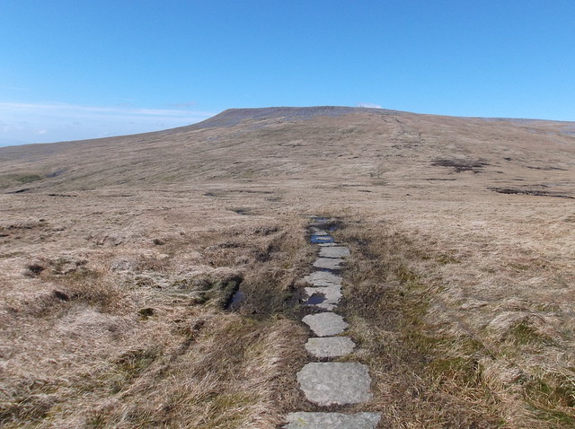
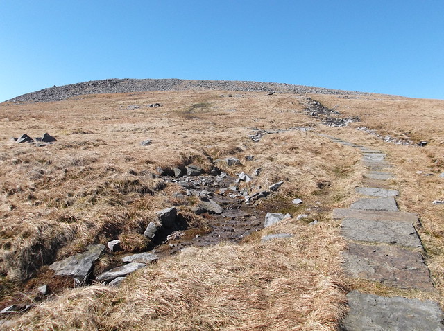
A slight path appears now...
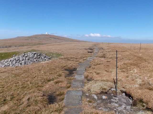
Unmistakably the Pennine Way now with the luxury of flag stones...
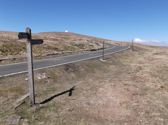
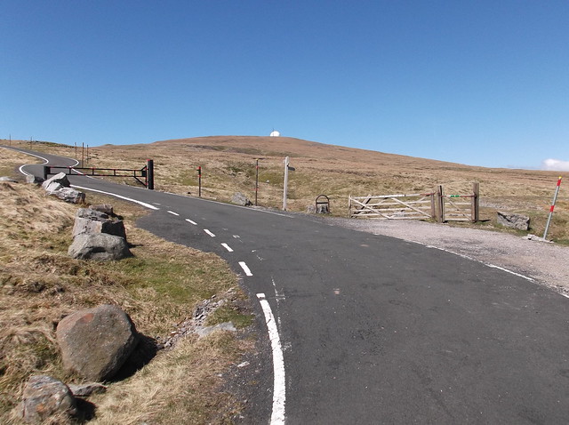
The route starts to descend a little here as you approach a service road to Great Dun Fell, the road incidentally is England's highest...
The road is very well maintained and is seemingly a magnet for cyclist wanting to tackle some serious gradients...
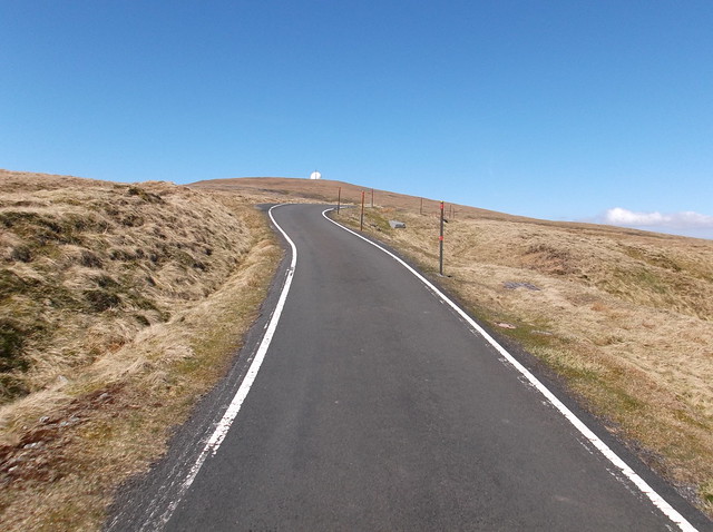
The route remains steep as you climb towards Great Dun Fell, here coming off the road and out onto the moor again...
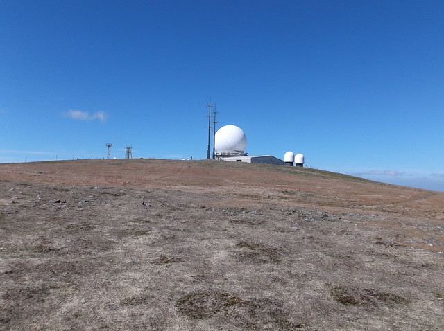
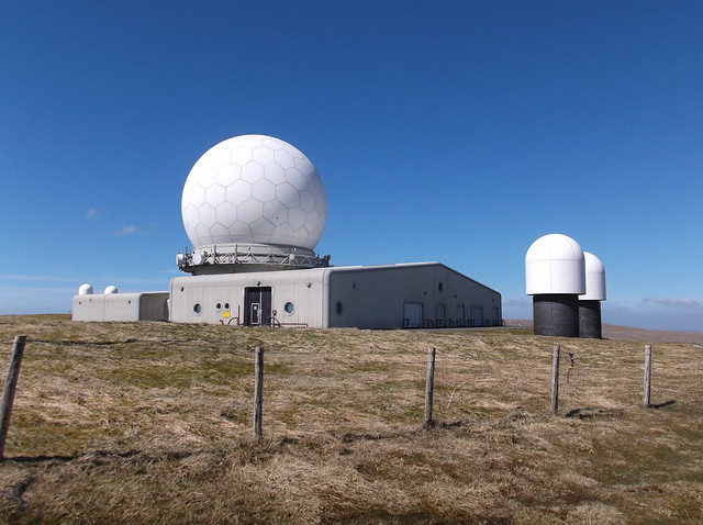
The Radar station is an Air Traffic control site for Northern England and Southern Scotland, it sits directly on the summit of Great Dun Fell at 848 metres, that height makes Great Dun Fell the second highest point in the Pennines...
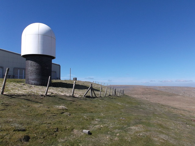
The Pennine Way footpath cuts to the right hand side of the Radar station when heading north...
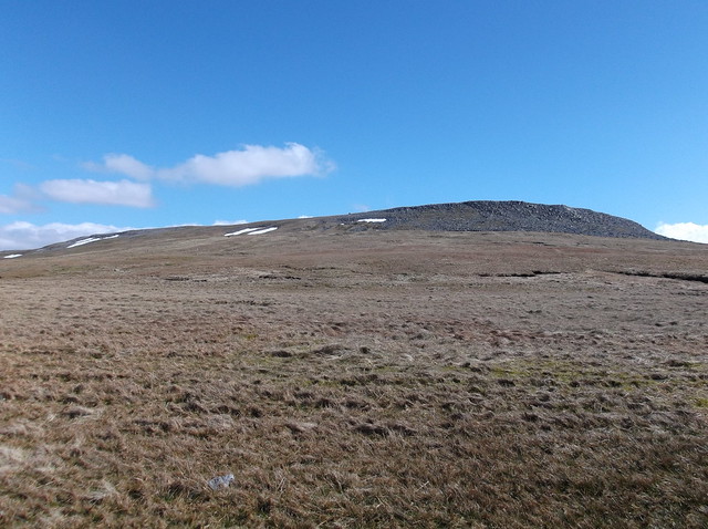
The huge bulk of high windswept moorland that is Cross Fell up ahead now...
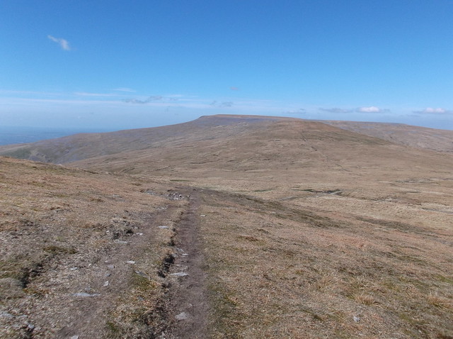
But first, separating these two giants of the Pennines is Little Dun Fell...
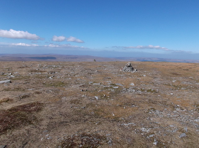
At just 6 metres lower than Great Dun Fell, Little Dun Fell makes for a tough climb after the distance undertaken so far. The summit at 842 metres is marked by a cairn...
A fairly well constructed wind shelter is an interesting feature of Little Dun Fell's north western edge. Here looking from the shelter towards the final climb of the walk, the formidable looking Cross Fell...

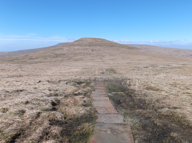
Continuing the route...
Here passing over the boggy area of ground that is Tees Head...
In this picture you can just about make out the beginnings of the River Tees snaking its way across the moor from Tees Head here...

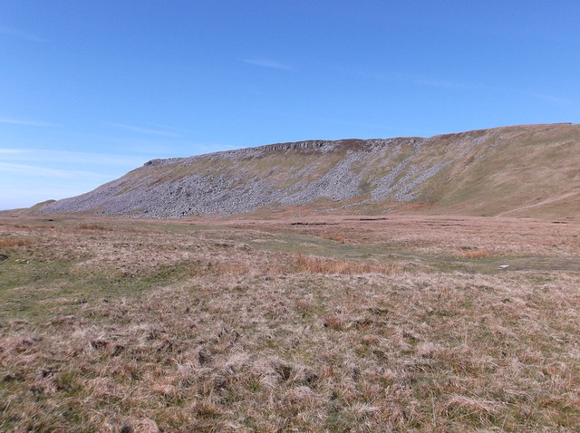
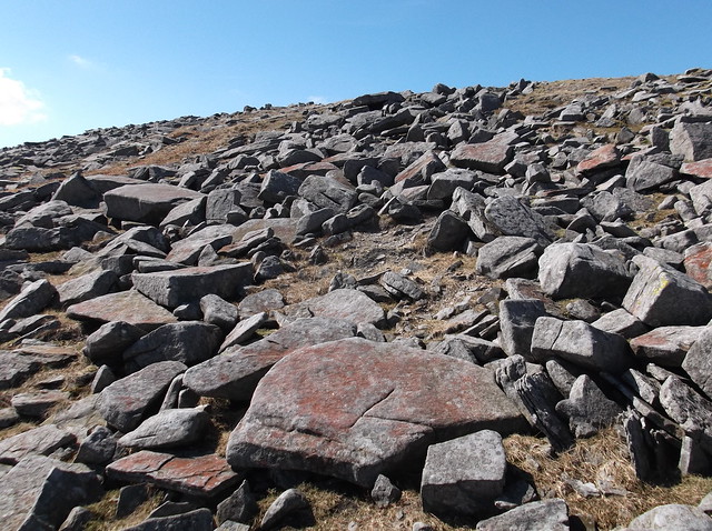
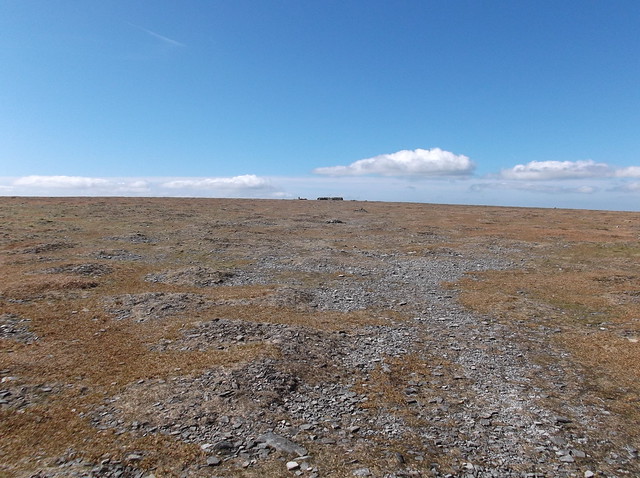
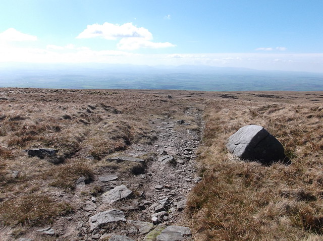
Heading across the shattered Limestone of the edges of Cross Fell...
Cross Fell like most of the Pennines is flat topped, this one is just the big brother of them all. Here a series of well constructed cairns mark the route of the Pennine Way to give support in low cloud. Cross Fell is an extremely weather beaten place and is plagued by hill fog that can come out of nowhere. It was only last year that a young couple had to be rescued from the fell who had got lost in low cloud.
Looking back towards Great Dun Fell...
Eventually the summit appears ahead on this huge expanse of fell...
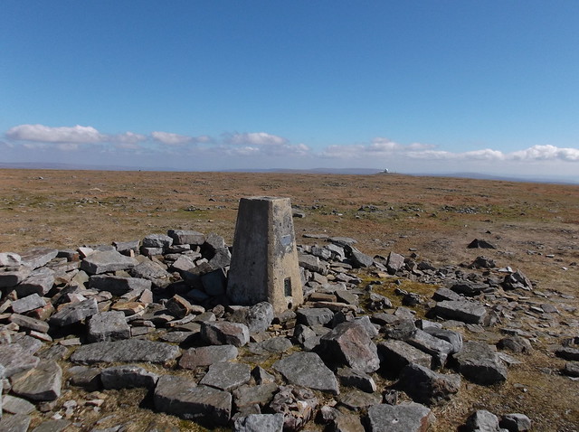
The summit is marked by a Trig Point at 893 metres (2,930 ft) , the highest point in England outside of the Lake District...
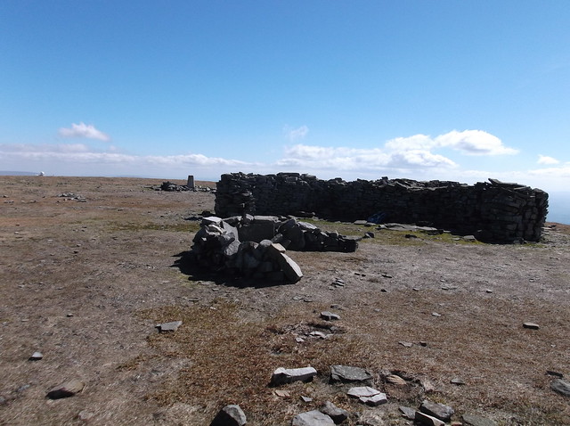
The summit is also adorned by a cross shaped wind shelter, with various cairns and other stone constructions. The wind was bitterly cold on the summit too, so after a little light refreshment I was quick to be moving on...
Section 3/3. Cross Fell to Langwathby railway station.

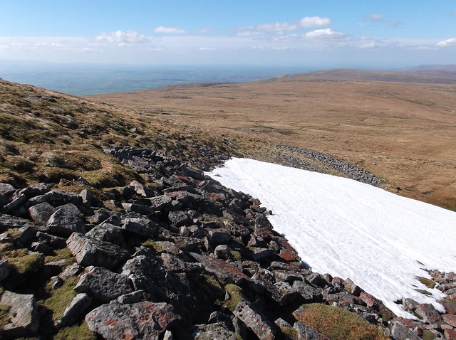
Snow still clinging to the northern edge of Cross Fell, an area called The Screes...
Leaving the Pennine Way here, and cutting left now...
Looking back at Cross Fell's top...
The day could be described as warm now as I descended the fell...
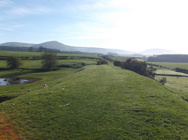
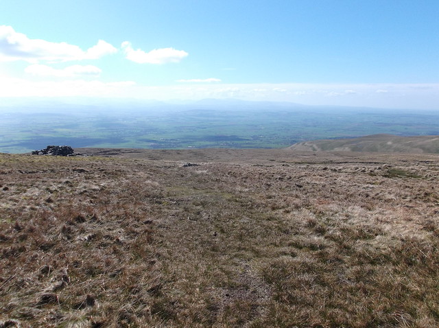
The Eden Valley is once again reveled as the terrain drops away, with the Lake District fells just about visible in these pictures...

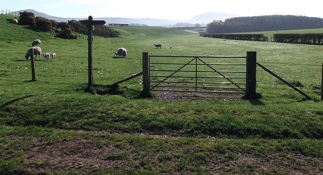
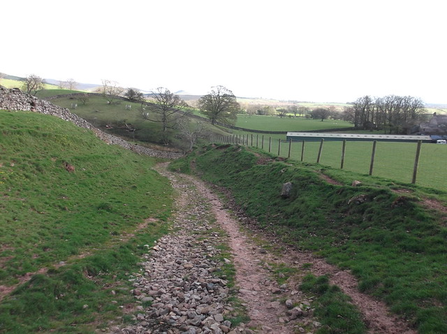
Pushing away from the main track, I cut right and headed towards this farmland, the path here remains easy to follow...

Here heading towards Bank Hall farm...
The route heads through the farm yard...
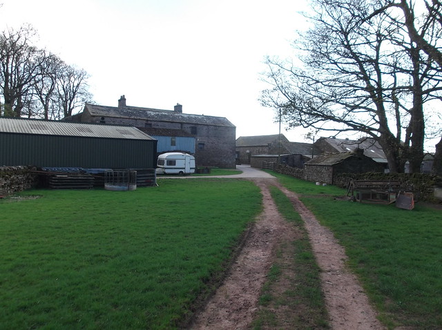
A track leads from the farm towards a lane...
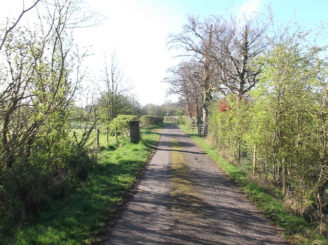
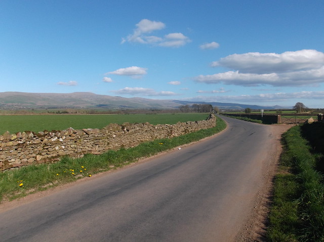
Heading right here, I seemed to recall writing this last time on a hike of the area, but, it's a long road back to Langwathby!...
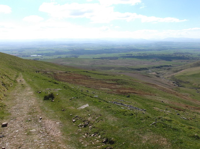
Here looking back at Cross Fell and Great Dun Fell from the lane...

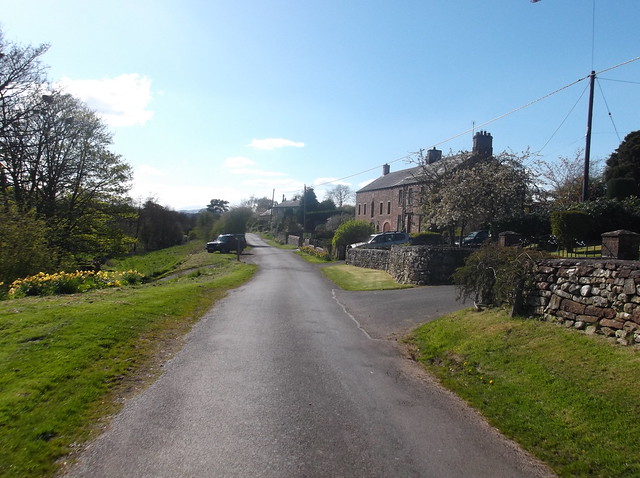
It was hot now, and I could feel the Sun burning my face! Here heading through the pretty village of Skirwith...
Here looking back at the chunk of land just walked...
And finally onto Langwathby railway station...
Overall a tough hike, but covering some of England's finest and remotest scenery. The train journey between Langwathby and Appleby allows you to see the distance and terrain you have just walked too.
Many thanks for reading.
