
A circular walk, 6.8 miles, 4 hours.
Roseberry Topping is one of those hills that is on many people's list of high points that just have to be walked in their lifetimes at some point. Once you lay your eyes upon upon its distinctive profile it has to be climbed.
During the Christmas holidays it has become tradition over recent years to get out on a walk, and after much deliberation as to where to go to this year, Roseberry Topping as a suggestion soon became the favourite out of all the discussed potential walks we could do at this time of year. So after the last two years being walks based in the Peak District, Roseberry Topping would make a significantly different destination, and for me a first time visit to the North York Moors National Park. We did however also discuss the fact that to go all the way to Roseberry Topping and return seemed, in a lot of respects a long journey for just one hill, so on closer inspection of the map we decided to include Easby Moor on which sits Captain Cook's Monument, overall making this into a longer, but I'm sure you'll agree on reading, a much better walk with this landmark included. So the date was set and the route drawn up.
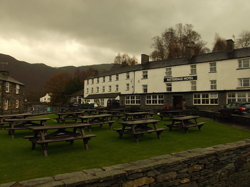
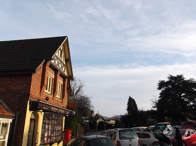
We decided to start the walk in the village of Great Ayton, we ware arriving by car rather than public transport, Great Ayton providing a good sized village for parking. (There is a railway station should you choose to do this walk via public transport) The weather forecast was superb for the time of year, cold, crisp and relatively sunny.
Here just after arriving into Great Ayton, we parked near to the Captain Cook School Room Museum...
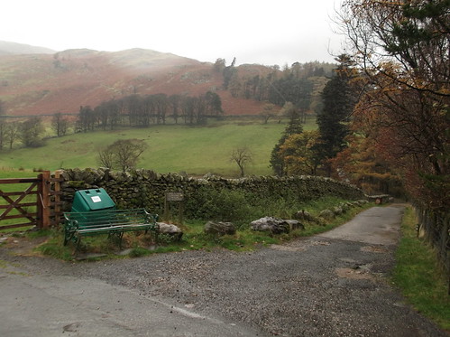
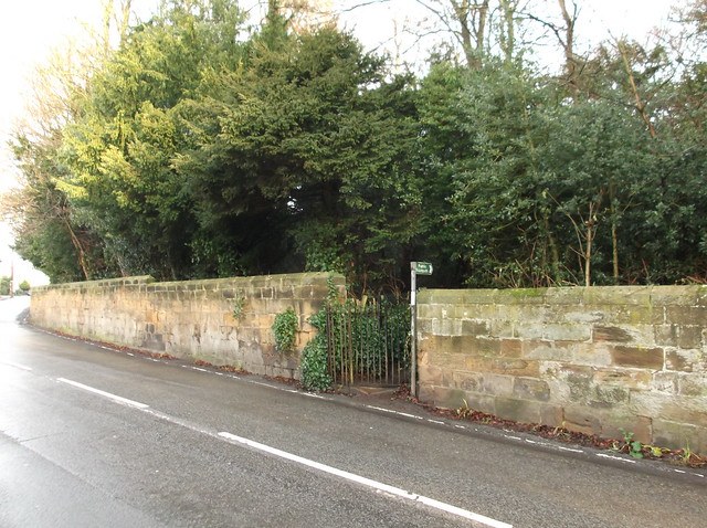
From where we were parked we followed the main road that runs through Great Ayton for 300 yards or so before crossing the road and heading right along this footpath...
The footpath on this day was very muddy and made a good test for my new gaiters...
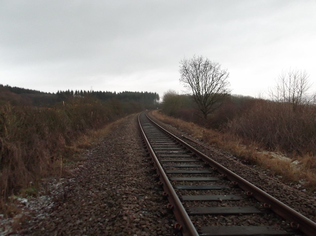
After about half a mile of trudging through the mud you come to a railway line. This is the main line to Whitby, it is not exactly the East Coast Mainline, however you do need to be aware that this is still a main line and you need to take care when crossing it...
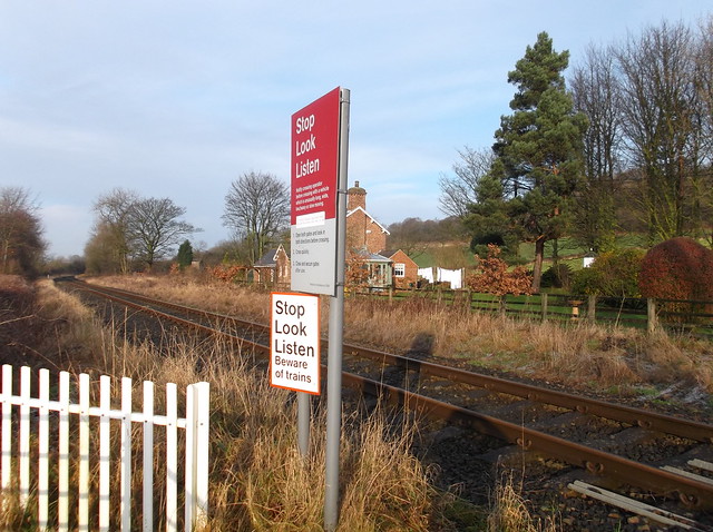
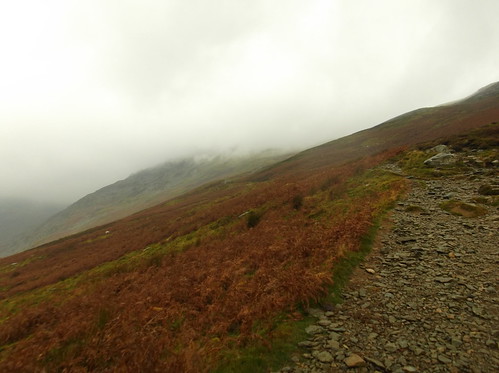
Once you have crossed the railway line you also cross the boundary into the North York Moors National Park, and the route in turn begins to climb...
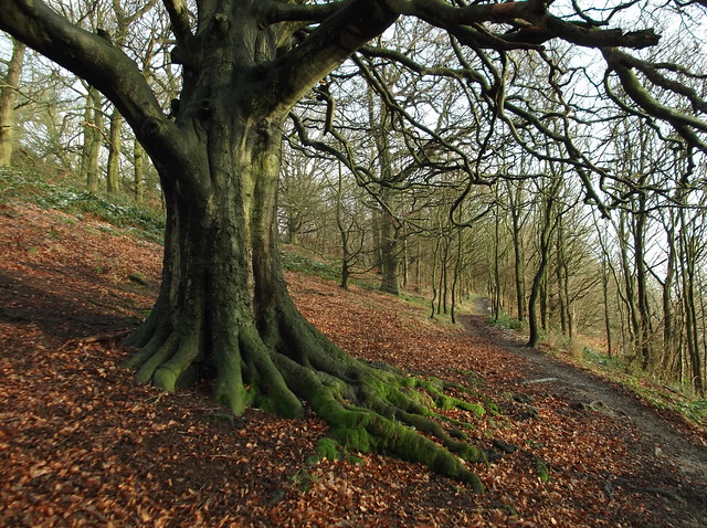
The trees in the above picture form part of Cliff Ridge Wood, and as the name implies this is a ridge, and also a crossroad of footpaths. I always have a saying at the beginning of a hill or mountain walk - 'upwards is good' and fitting to my saying the pathway leading steeply upwards is our path here...
The pathway continues uphill for a short while before you need to go through a kissing gate that allows you out onto farmland. From here you get your first sight of Roseberry Topping...
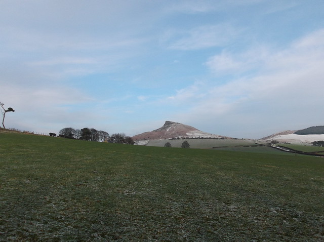
The route continues across the field then heads left past a farm house before cutting right again in the direction of Roseberry Topping following a well trodden, and again very muddy footpath...
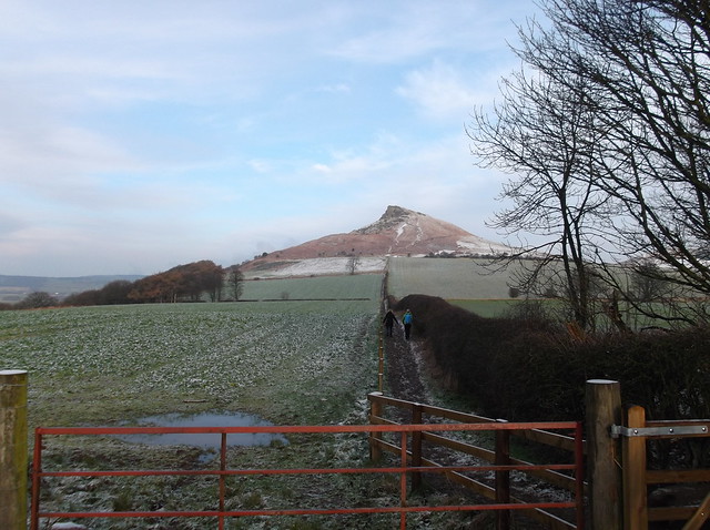
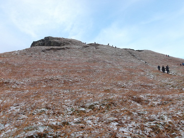
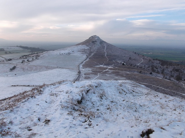
From the end of this section of pathway you get a great view of Roseberry Topping's distinctive profile, like a mini Matterhorn...

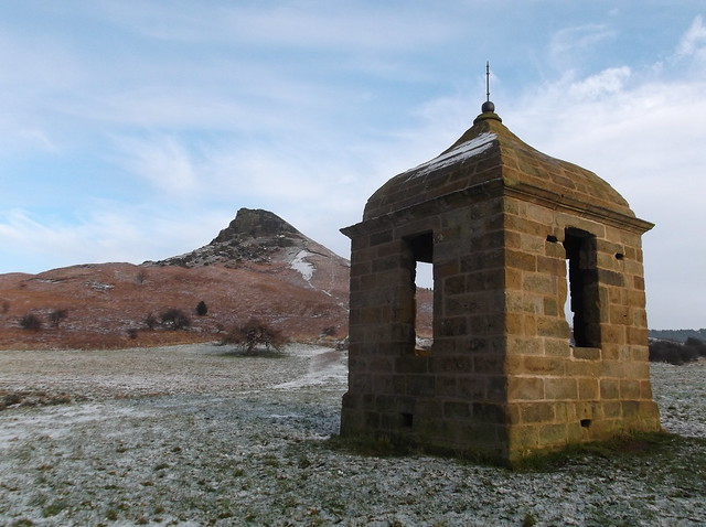
On our route towards the base of this excellent highpoint we noticed this rather well built structure on the southern flanks of the hill, a shooting box that dates back to the 18th century...
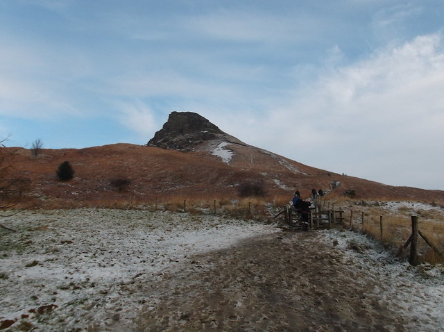
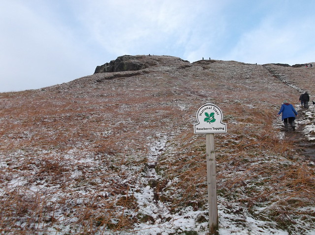
So as they say, onwards and upwards. The hill is a popular destination for many locals and indeed non-locals too. The hill on this day was crawling with people heading towards its wintry summit...
Just in case you're not sure where you are...
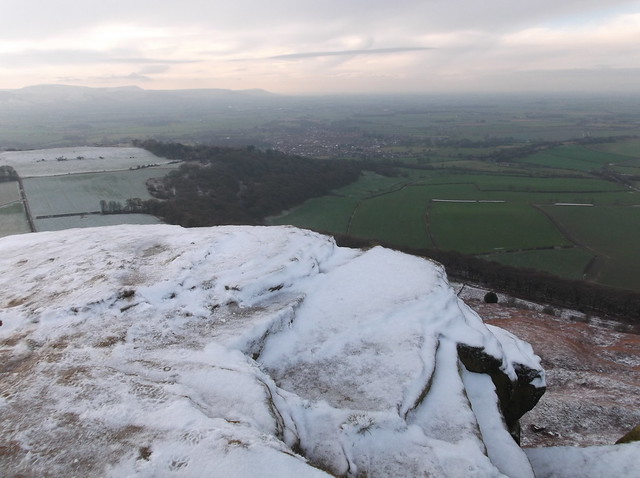
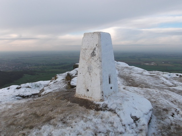
There are many pathways on this hill, of which the most popular seemed to be a winding track to the summit, we however took a more direct, almost scramble to the summit. On arrival at the icy summit it was almost like queing up to 'bag' the Trig Point - which to me is the law when seeing one - but bag it we did, and what a summit too with, despite some mist about, some fine views were to be had all around. Here looking south west across Great Ayton towards the very northern fringes of the North York Moors National Park...
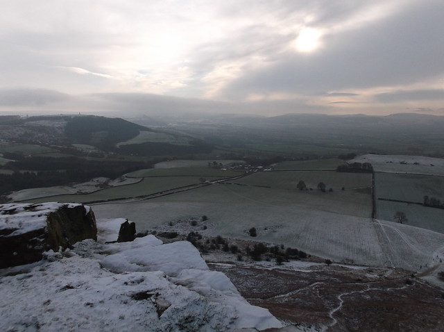
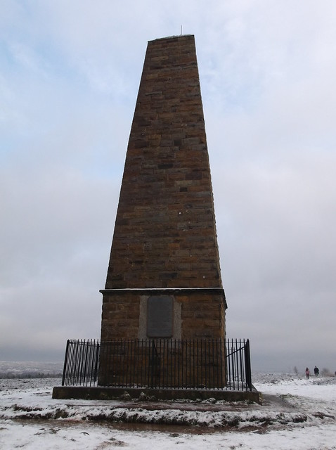
And here looking south east towards our next highpoint, Captain Cook's Monument on Easby Moor to the left of the picture with the Cleveland Hills to the right...
And the all important Trig Point on the summit of this fine hill at 320 metres, the summit providing views towards Middlesbrough and Stockton-on-Tees with the North Sea just about visible through the mist ...
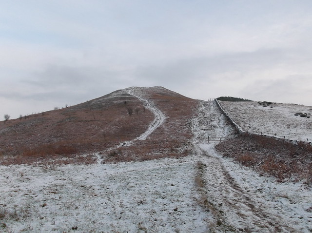
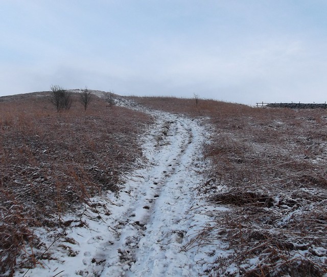
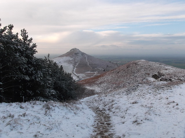
The route continues now north east across Roseberry Common towards Newton Moor...
Once you have reached the bottom of Roseberry Topping the route allows you to choose a left or right option as you approach the climb towards Newton Moor. Here we opted for the left hand curved track in the below photograph, and followed the rough track along a sort of ridge that made for a good climb to get the heart pumping...
Here looking back towards Roseberry Topping...
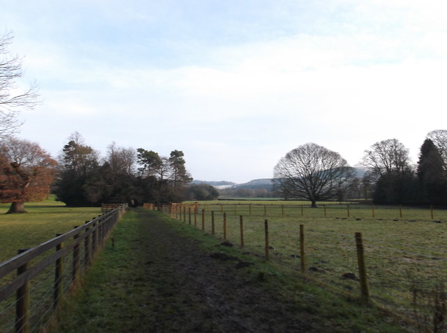
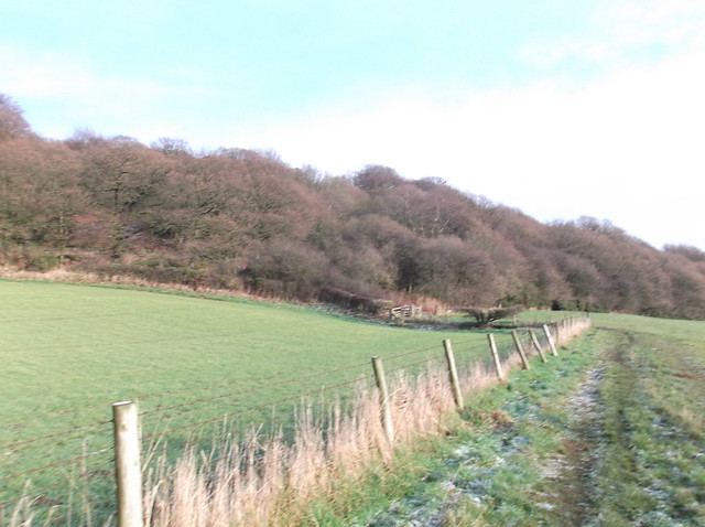
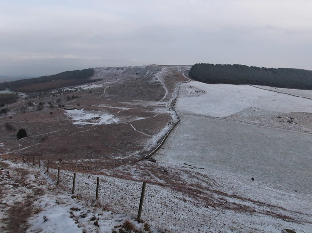
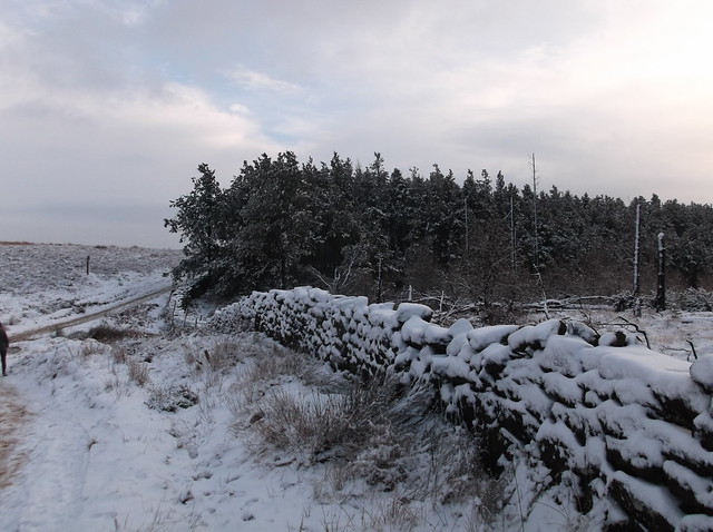
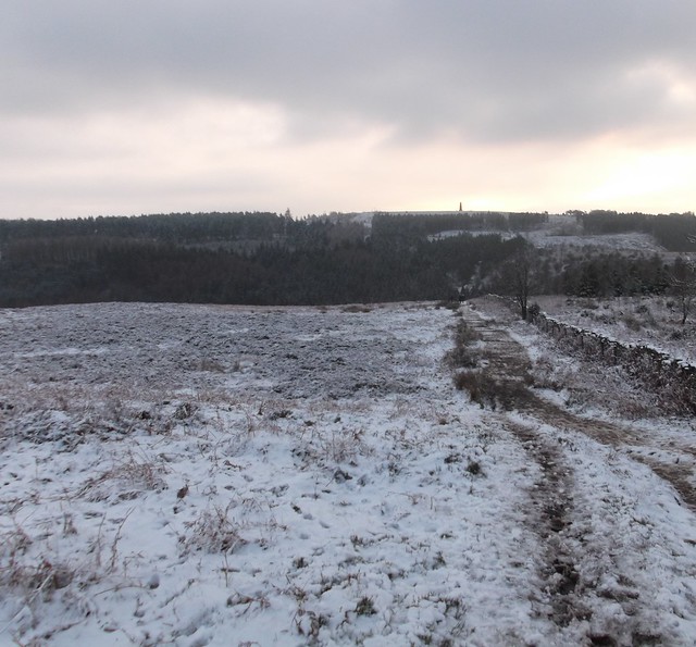
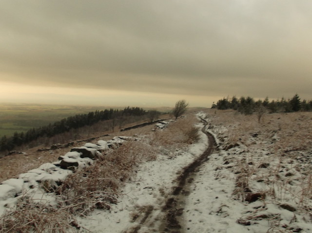
Where the path on Newton Moor starts to level out the route heads south east, keeping a dry stone wall and woodland on your right...
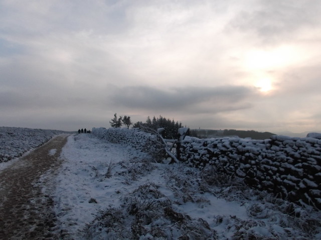
The route then turns south as you head across Great Ayton Moor now...
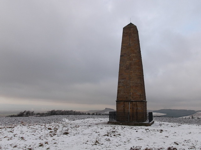
The almost needle like point that is Captain Cook's Monument on the moor opposite allows you to see the route ahead clearly...
You need to head steeply downhill here towards this seemingly popular car park. It is roughly a descent of 100 metres from Great Ayton Moor down into the car park, and on this day the 'steps' down to it were ice covered and made for an interesting descent...
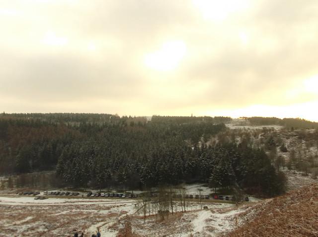
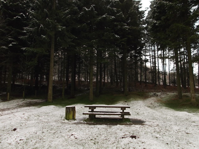
The car park is also seemingly a popular place for a picnic, in warmer weather, and there are many tables spread out in amongst the woods on the southern side of the car park. The route now heads through the picnic area and out onto a well maintained, and again on this day, busy with walkers track....
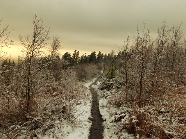
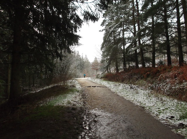 The light snow here giving the area an almost Scandinavian look...
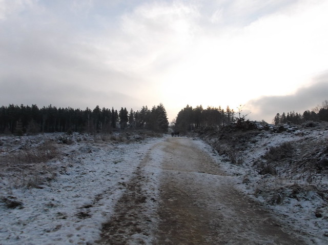
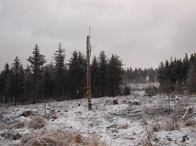
I've seen better Christmas trees despite the tinsel...
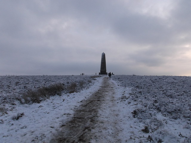
The pathway eventually begins to level out as you approach Captain Cook's Monument...
The route now heads back towards Great Ayton, heading north west from the monument. The route can also be a bit confusing here, as we found out, as so many path seem to head this way. But after a bit of navigation and GPS reading we were on an easy to follow path downhill towards Easby Wood...
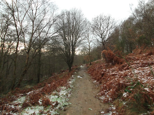
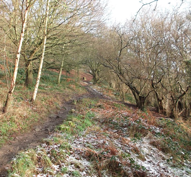
The route heads very steeply downhill in places as you navigate Easby Wood. Again there are many paths to choose from, but like my saying at the beginning of a walk, towards the end of walk, particularly a circular walk, it is good to be heading downhill. The path however does have some yellow way markers for reassurance as you need to head towards another railway line crossing. You also pass by the remains of some old buildings on your descent of the moor, these make for a significant way marker as you navigate the pathways through the woodland.

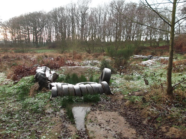
This wood is also used for horse riding, and in places is seemingly used for off road motorcycling...
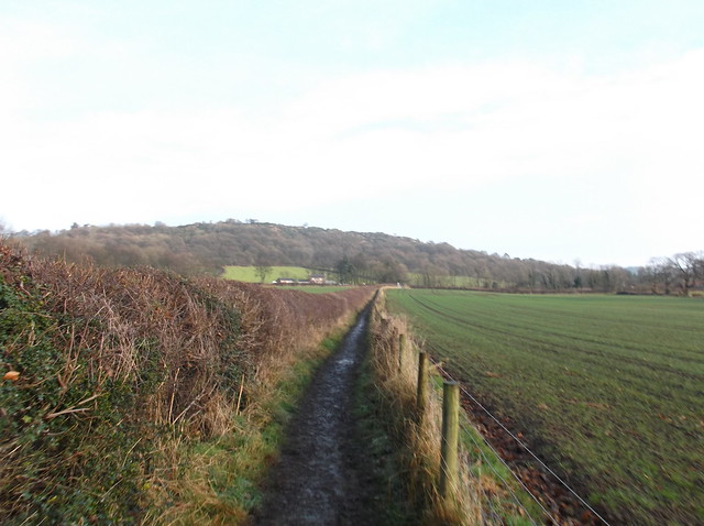
This part of the route is again very muddy and made for a gloopy part of the walk. Here after passing the off road motorcycle track you cross a field towards this railway crossing...

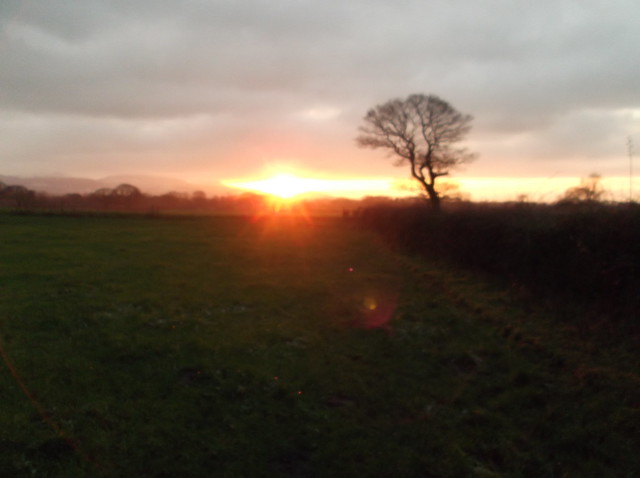
The sun beginning to set on us as we head south west across the farmland...
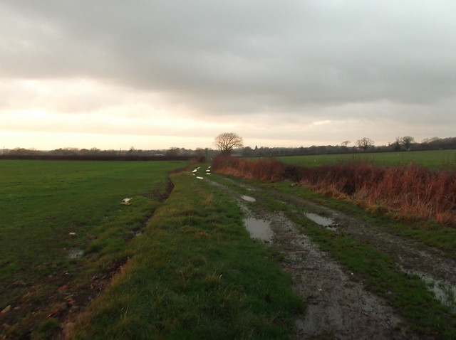
The field then allows you onto a farm track that cuts north west towards Little Ayton village...
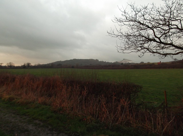
Our final view of Roseberry Topping for the day as we continued along the track...
Here heading into Little Ayton..
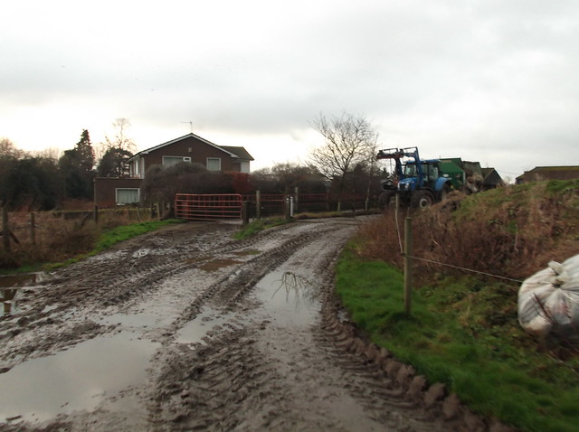
Once you are into Little Ayton the route cuts left along a lane passing farm buildings until you reach a fork in the road at a bridge over a stream. You then need to head right for just over half a mile following a lane back into Great Ayton...
Overall a nice little walk that makes a great introduction into the North York Moors National Park. Thanks for reading.