Thursday 21 May 2015

Ingleborough circular from Ribblehead

A circular walk, 8.6 miles, 4 hours.

A fine little ramble taking in probably the greatest fell of the Yorkshire Dales National Park, and two of the lesser walked high points that make up an alternative, if somewhat shorter, Yorkshire 3 Peaks walk.

Ingleborough is a tough fell to make a circular walk out of. From Clapham on the fells' southern edge to encompass it using the designated paths you can't make the walk much less than 18 miles. And from Ingleton - to the fells' south western side it's again a huge walk. This walk however begins at the picture perfect railway station of Ribblehead, and to start with there is a bit of road walking, but this soon gives way to the rougher limestone terrain of Ingleborough, then it's onto the remote feeling Simon Fell and finally Park Fell before decending back into Ribblehead.

Here after stepping off the train at Ribblehead station. You have to cross the tracks via the crossing boards from the northbound platform to get to the southbound platform. You can just about make out the crossing boards in front of the train in the below picture...
Ingleborough Circular 212
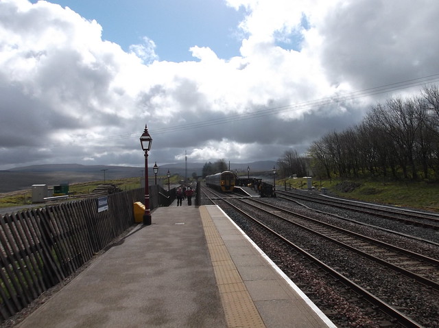
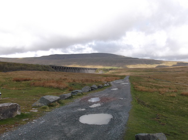
Once you're onto the above platform the walk heads out from the station and follows the rough track down towards a pub which you will see at the end of the track on the opposite side of the road. For me this station is one of the finest in the country for scenery, when you get to the pub, taking a slight detour from the walk, cut right, and just take a look at one the most famous and impressive views you will ever see...
Ingleborough Circular 214
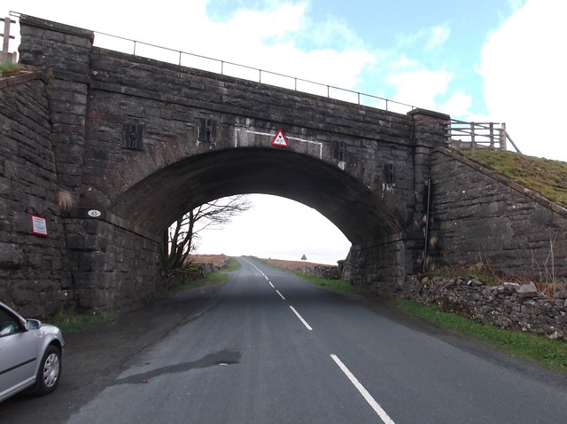
Head back now towards the pub and head along the road under the railway bridge...
Ingleborough Circular 215
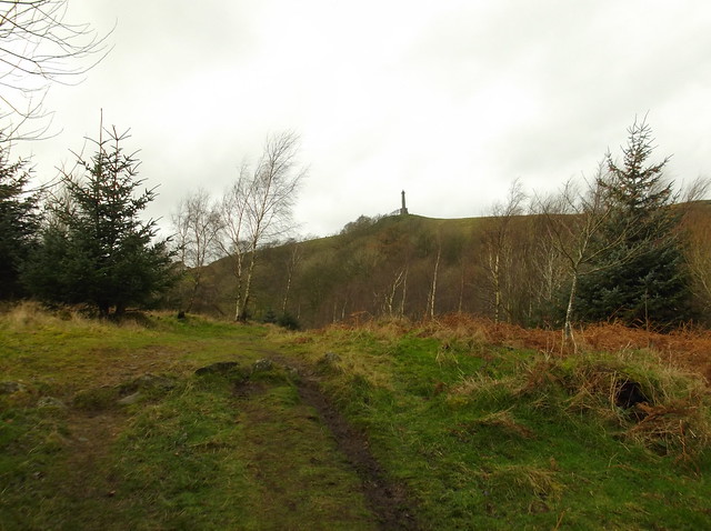
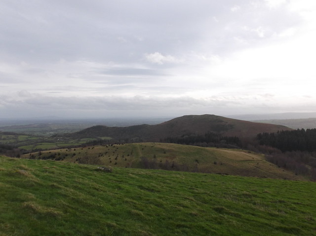
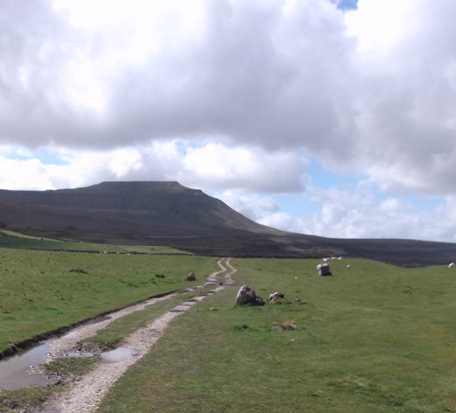
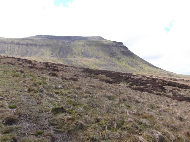
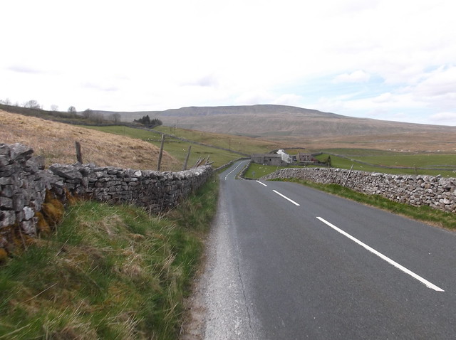
The road is what it is, and at the end of the day you need to take care here, but this part of the walk allows you to view the terrain you are about to undertake, Park Fell is the nearest, with Simon Fell wedged between it, with the mighty Ingleborough beyond...
Ingleborough Circular 216
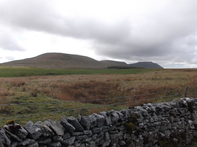
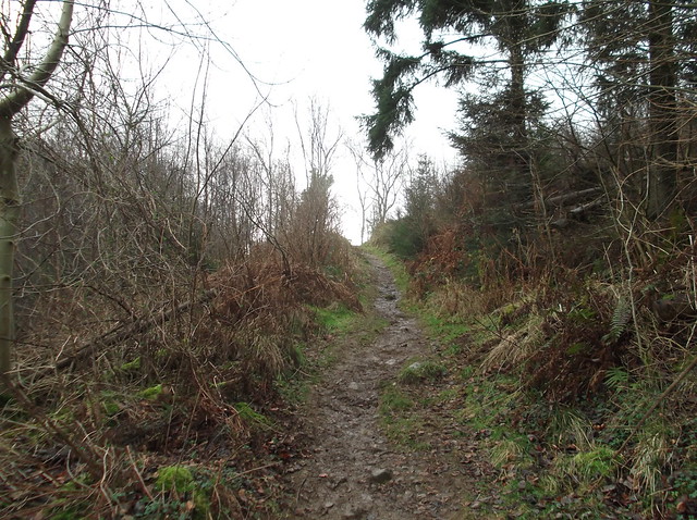
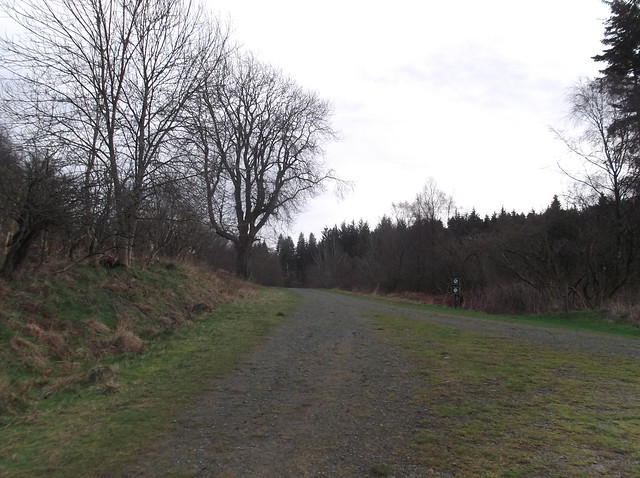
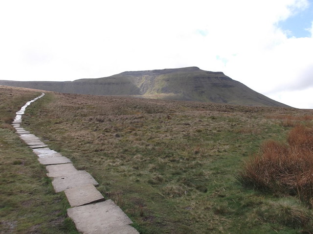
There is over a mile of road walking before you can see the path that will lead you to the flanks of Ingleborough...
Ingleborough Circular 217
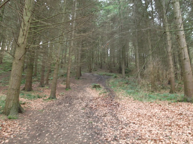
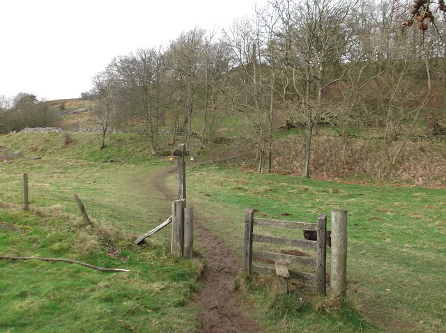
Coming off from the road you are now onto the route of the Yorkshire Three Peaks walk...
Ingleborough Circular 219
Ingleborough Circular 221
Ingleborough Circular 224
Ingleborough Circular 225
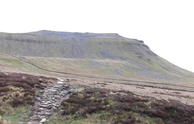
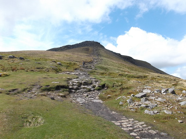
A point of the walk here that has struck fear into many a '3 Peaker'. This is probably the toughest part of the walk, but I like this bit, it has a touch of scrambling involved...
Ingleborough Circular 226
Ingleborough Circular 227
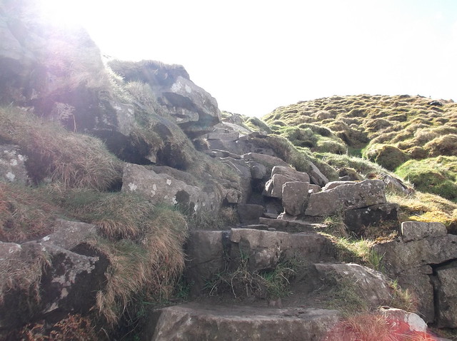
Making it to the top of the scramble...
Ingleborough Circular 228
The climb continues...
Ingleborough Circular 229
Ingleborough Circular 230
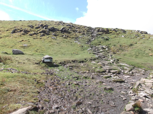
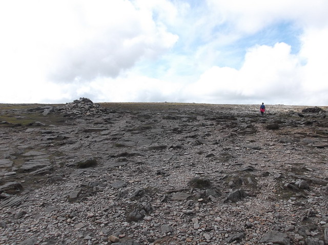
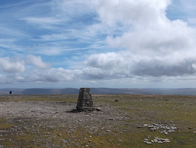
And eventually entering out onto the rocky summit plateau of Ingleborough...
Ingleborough Circular 231
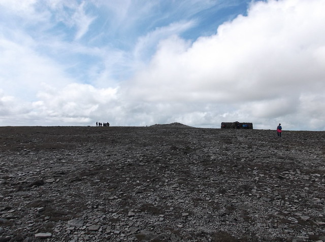
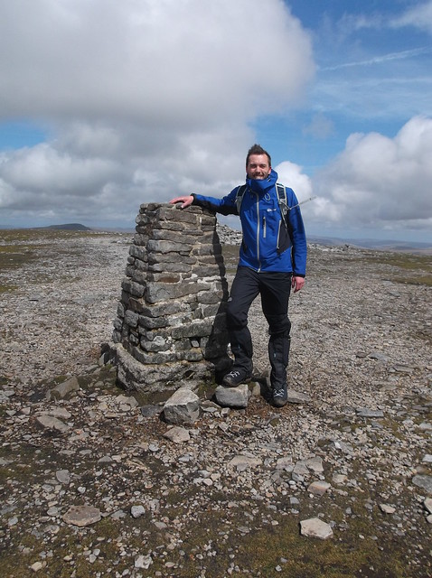
Heading south west across the plateau to the summit Trig Point...
Ingleborough Circular 232
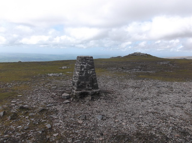
Ingleborough summit 723 metres...
Ingleborough Circular 233
Ingleborough Circular 235
Ingleborough Circular 236
Ingleborough Circular 238
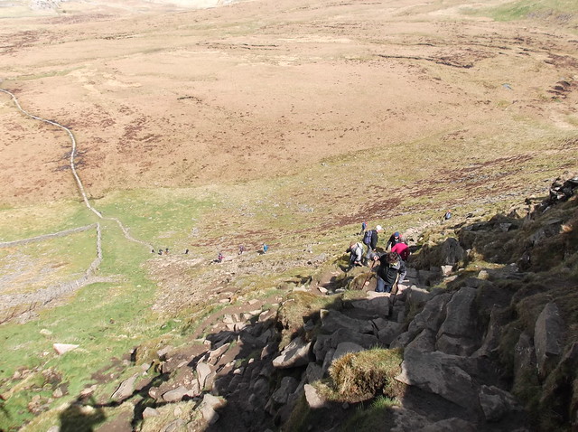
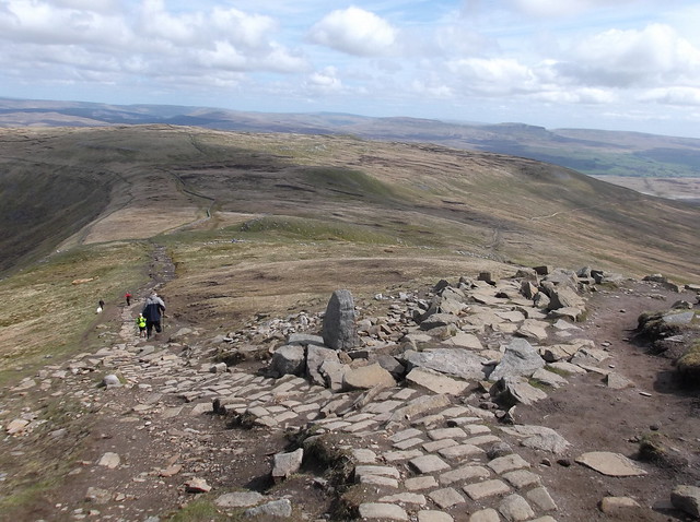
The walk continues on from the top of Ingleborough, you now need to retrace your steps back towards where you first entered out onto the plateau. This can be a bit tricky, especially in low cloud. It's also easy to follow other people off the fell taking you perhaps on a completely different path by mistake, or you can simply miss place where you got onto the summit plateau in the first place! So take your time and make sure you are at the correct place to descend the fell. The path does also fork part the way down too, be careful again here as the right hand path is the route towards Horton in Ribblesdale, you need to keep left here for this walk...
Ingleborough Circular 239
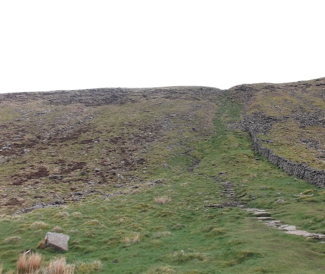
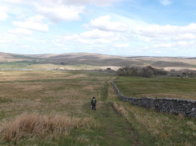
The route heads onto softer ground now as you venture out onto Simon Fell, keeping the dry stone wall on your right...
Ingleborough Circular 242
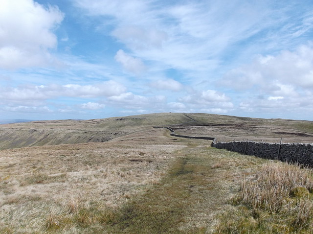
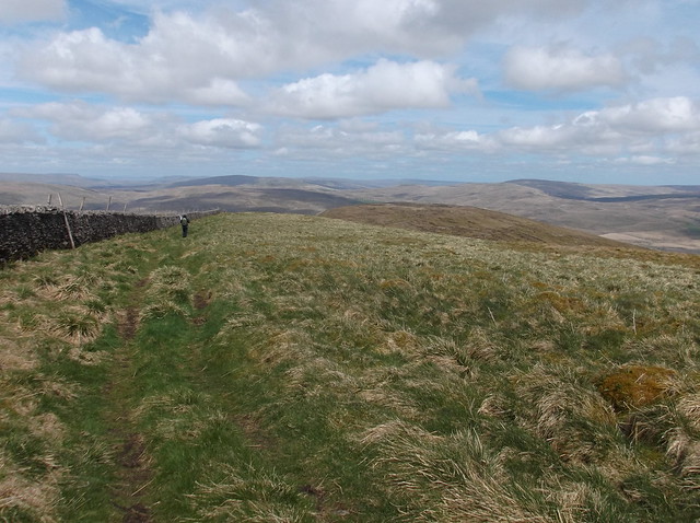
The path is easy to follow and at this point crosses the dry stone wall via a stile...
Ingleborough Circular 245
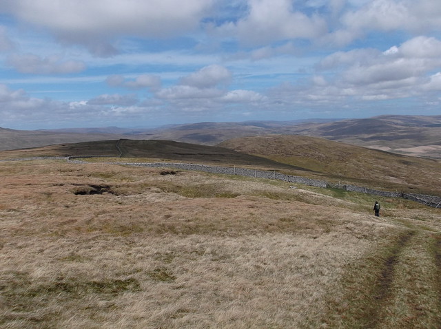
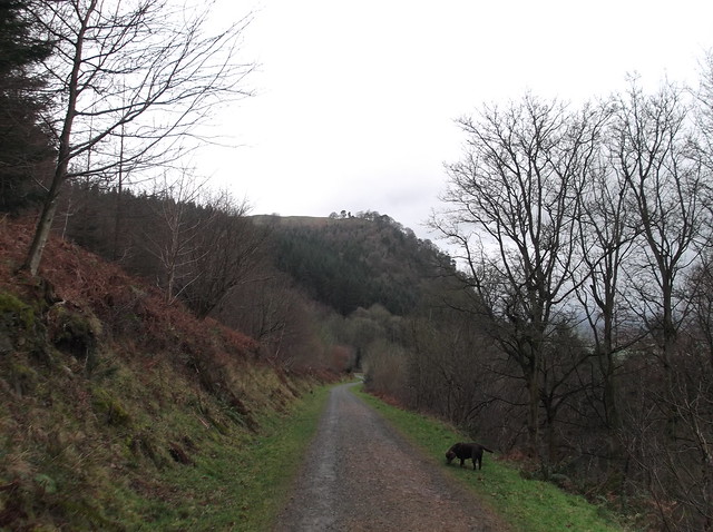
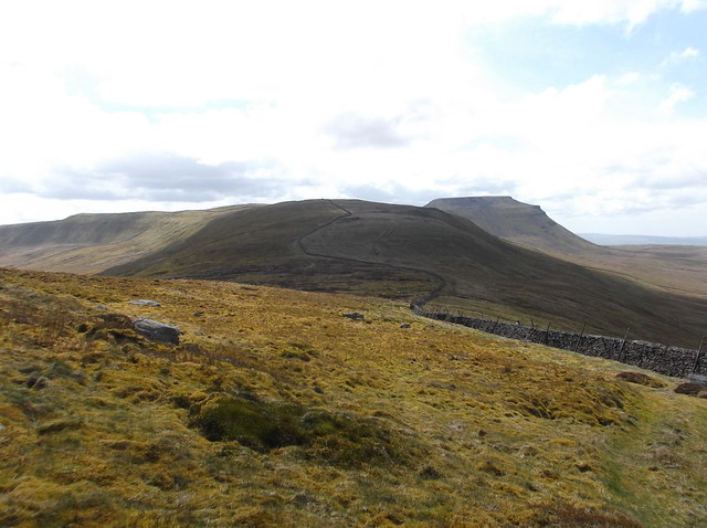
The dry stone wall is now on your left as the path continues across Souther Scales Fell...
Ingleborough Circular 246
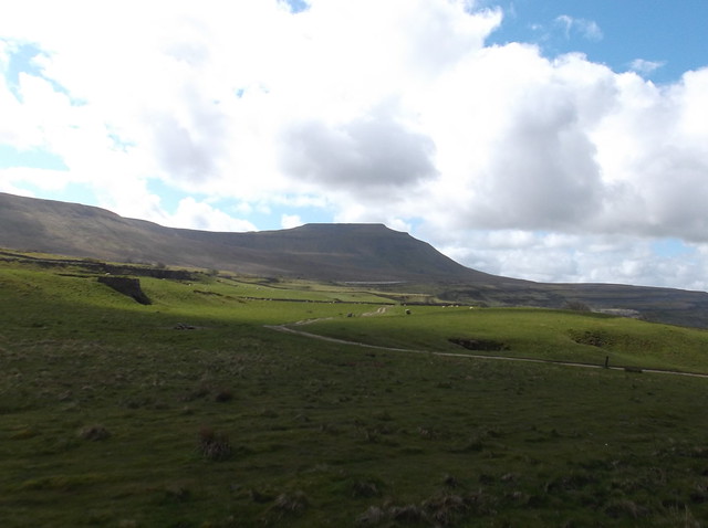
Park Fell up ahead now...
Ingleborough Circular 247
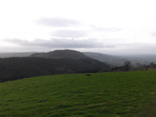
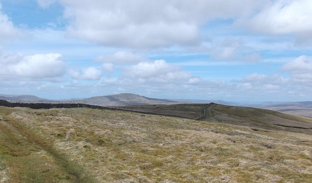
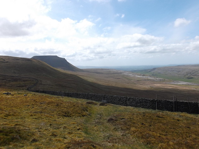
Looking back towards Simon Fell and Ingleborough from Park Fell...
Ingleborough Circular 250
Ingleborough Circular 251
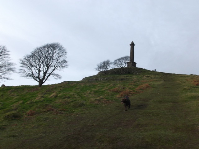
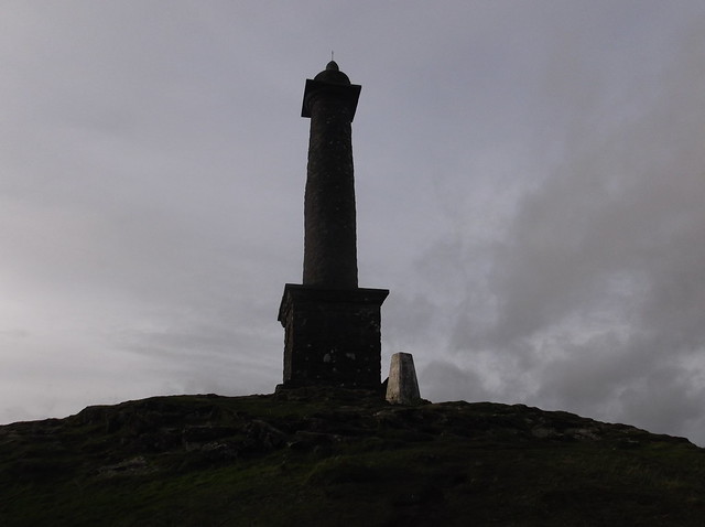
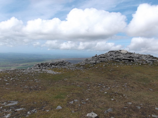
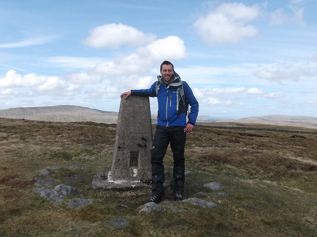
Here on the summit of Park Fell at 563 metres...
Ingleborough Circular 254
The descent of Park Fell is steep, and is a good one for putting the ends of your toes in pain...
Ingleborough Circular 256
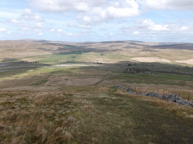
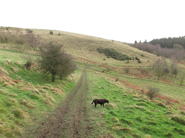
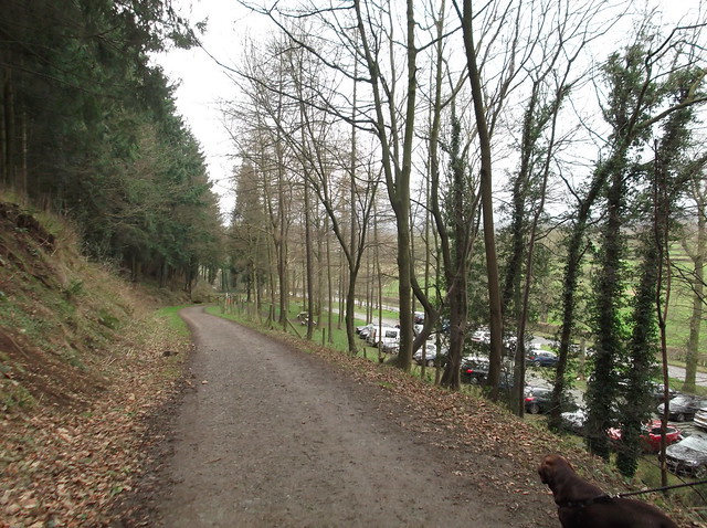
The path heads from the lower flanks of Park Fell towards a farm house...
Ingleborough Circular 259
Ingleborough Circular 260
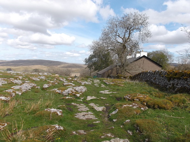
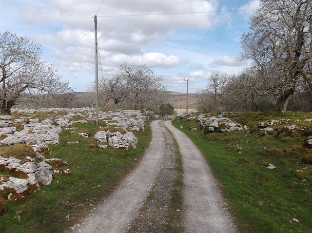
Passing in front of the farm, you then join a small lane that brings you out onto the B6479 road...
Ingleborough Circular 261
Ingleborough Circular 263
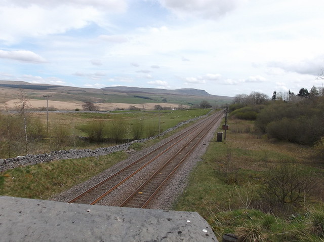
Crossing the Settle-Carlisle railway here looking towards Pen-y-ghent...
Ingleborough Circular 264
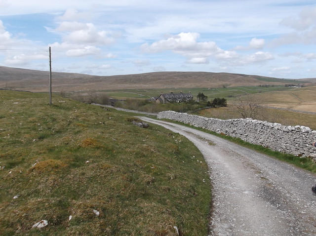
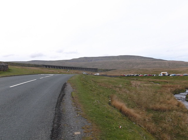
Onto the B6479 now back towards Ribblehead with Whernside dominating the view ahaead...
Ingleborough Circular 266
Ingleborough Circular 269
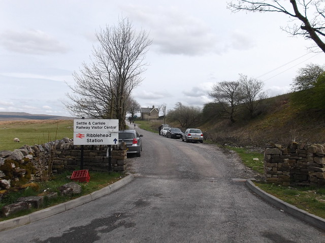
And finally back to Ribblehead station...
Ingleborough Circular 270
I would highly recommend the pub in Ribblehead prior to getting your train, it serves an excellent meal as well as local real ales all with a warm welcome. Overall this is a great little walk that would be an excellent treat for walkers of all abilities.
Thanks for reading.

Tuesday 6 January 2015

Breidden Hill Circular 1.1.15

A circular walk, 3.9 miles, 2 hours.

A great little walk on the Shropshire-Welsh border that takes in the fine Breidden Hill and the landmark that is Rodney's Pillar.

It was New Year's Day and that means a walk, preferably one that involves a hill. I was staying in Trewern, near Welshpool with friends. Near by are the hills of Moel y Golfa, Cefn y Castellm (Middletown Hill), Kemsters Hill, Bausley Hill and Breidden Hill - 5 hills that collectively are called the Breidden Hills, or as I simply call them 'The Breiddens'. From my old house in Shrewsbury I used to be able to see these hills on the horizon, with Long Mountain not far to their south, Breidden Hill standing out in particular as it seemed to come to an abrupt end almost like a sea cliff, however just before where the hill falls away towards the lower countryside a small column stands perched on the end, this is called Rodney's Pillar and makes a visible landmark for miles around due to the location of the hill. So, long story short, it was time to visit this hill, ironic in some respects now that I don't live in the area, but, bag it I felt I must, especially after finding my old friend Dan had now moved so near to it, and had climbed it on a few occasions with his dog. So, with my friend as a guide, we set off for the car park at the base of Briedden Hill.

Here after arriving into the car park with the dog leading the way, the hill is indicated as simply Rodney's Pillar...
breidden hill 003
Turning left out of the car park, the track starts to head upwards...
breidden hill 004
breidden hill 005
After a few hundred yards our route cuts right here to head steeply uphill...
breidden hill 007
breidden hill 010
At the top of this incline a path intersects it. Here we turned left to head further upwards...
breidden hill 013
breidden hill 015
You soon start to head out of the trees at around the 250 metre mark, the route then starts to open out...
breidden hill 016
breidden hill 017
breidden hill 018
Rodney's Pillar makes its first appearence...
breidden hill 020
This stile marks the beggining of the final ascent towards the top of Briedden Hill...
breidden hill 021
breidden hill 022
And to the top of Breidden Hill with a summit Trig Point too at 365 metres...
breidden hill 029
breidden hill 026
Thanks to Dan for this photograph, a tough shot considering the dog pulling and the windy conditions!..
breidden hill 024
The views from the summit of this hill are excellent with a 360 degree panorama, including The Wrekin to the east, The Stiperstones and the Long Mynd to the south east, the Aran range and the Berwyn Range to the north west, this is worth the hike just to get your bearing as to what you are going to climb next whilst in the area!
The route now heads south west away from Rodney's Pillar following a well trodden footpath, here looking back towards the pillar from a nicely made Topograph...
breidden hill 034
Middletown Hill looking inviting...
breidden hill 036
Moel y Golfa, the highest point of the Breidden Hills, with Long Mountain beyond...
breidden hill 037
The route now starts to head back downhill...
breidden hill 038
The route intersects with this substantial track that runs along the edge of Breidden Forest, and indeed continues to run through parts of it...
breidden hill 039
Looking back at Breidden Hill top...
breidden hill 040
breidden hill 041
breidden hill 042
breidden hill 045
The neb of high ground that is the top of Breidden Hill ahead here as the path snakes its way back towards the car park, it is also this abrupt end to the hill that gives it the 'sea cliff' look from a distance...
breidden hill 046
And finally back to the car park completing this excellent walk around a spot of new territory for me...
breidden hill 047
I can't recommend this walk enough if you find yourself in the area at some point. The view from the summit of the hill is superb. Thanks for reading.