A circular walk, 11.8 miles.
This would be my second attempt at this Peak District high point after being battered back by the elements just before Christmas. Now as weak as that sounds, the place is a tough old slog due to its terrain.
Bleaklow is the second highest point of the Dark Peak area of Derbyshire behind Kinder Scout, and despite it not being particularly high, it is a place of deep peat bogs, steep peat hags, unusual rock formations, supernatural happenings, and crashed planes.
The weather according to the UK Mountain area forecast for the Peak District was good, white cloud, and no rain or snow showers predicted. It said there may be some low cloud on the very summits, but otherwise it looked a great day for a hike.
I was amazed to get a seat on the train to Manchester, a rare event indeed, and after passing Huddersfield, and passing over the 'border' via the Standedge Tunnel into Lancashire, was a descent into true winter, emerging into snow covered high Pennine moorland.
The train journey to Glossop means changing trains at Manchester Piccadilly, and in the gear I was wearing - I looked a little extreme for the streets of Manchester, Alpine Jacket, waterproof trousers, gaiters, mountain boots, and my trustee hat!
Then, the journey from Piccadilly is a 20 minute run with some good views of the most western part of the Dark Peak area, with a cracking view from Dinting Viaduct towards Kinder Low!
I arrived into Glossop, made my way out of the station car park, and turned right towards the A57 then turned left to walk up the A57. It's a good mile and a half from the station to where the 'off road' part of the walk begins.
This section of A57 is the Snake Pass, and is notorious for being closed when any snow or icy conditions are about, but it was open seemingly today...
When you reach the first major bend in the road, take the track cutting left through the gate here...
This farm track continues for a good 500 yards before you come to a bridge...
Cross the bridge over Shelf Brook, and then turn right following the sign post for 'Doctor's Gate'...
The route is a farm track at this point...
Turn right at this point, the path then descends down to the edge of Shelf Brook...
Heading along the edge of Shelf Brook towards Doctor's Gate...
The edge of Gathering Hill...
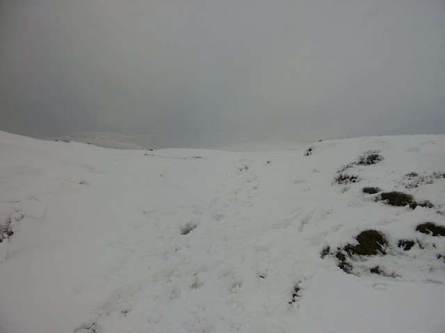
Onto Doctor's Gate, one of the best preserved stretches of Roman Road in Britain, apparently. This is a steep part of the walk too, ascending some 200 metres, and was a bit treacherous on this day...
Looking back along Shelf Brook...
The terrain levels here, an area on the map called 'Old Woman', at this point you can make out the Snake Pass summit, seemingly a parking up area for people taking on either Bleaklow or Kinder Scout.
In the below picture, hard to make out I realise, but the black blobs are cars parked up, with The Edge of Kinder Scout beyond...
At 'Old Woman' turn left at the below sign post and onto the Pennine Way, indicating for Bleaklow...
Looking towards Shelf Moor...
I was now onto the Pennine Way, at this point a group of guys came up to me and said "it wasn't worth going today." I said, "I was going to complete this walk no matter what after being battered back by the elements last time." They said "fair enough, and good luck" - reassuring stuff.
Well looking towards Shelf Moor, the cloud was just gracing it, but the weather to me looked good.
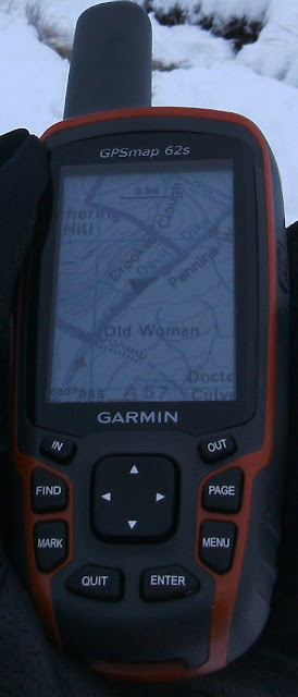
From the sign post at 'Old Woman' I walked a good 500 yards, before cutting off from the path, to head over the snow covered peat bogs as a direct route towards Higher Shelf Stones, out came the GPS!...
Following some foot steps in the snow, this is crazy! It was bad last time before the snow cover, these peat bogs are deep, and in some cases you could see a brown pool at the base of a depression in the snow, hmm, this is going to be tricky, and pretty dangerous!! I hope the route I've pre-drawn and loaded onto the GPS is going to be OK...
Crossing over Crooked Clough...
Heading across Gathering Hill...
Found a post marking a kind of route...
Heading up the steep sides of Shelf Moor now...
And into the cloud...
Finally making it to the Trig Point of Higher Shelf Stones at 621 metres...
From here, I had drawn more or less, a straight line to follow north east from the Trig Point, back towards the Pennine Way. Here cutting along a grough between the snow covered peat hags...
After a good 300 yards of trudging through the deep snow, I came across the plane wreckage that Bleaklow is famous for...USAF Boeing RB-29A Superfortress 44-61999 'Over Exposed'. Although I was expecting to see it, it's still an eerie and somewhat sad place to be...
Memorial to the thirteen men that died here on 3rd of November 1948...
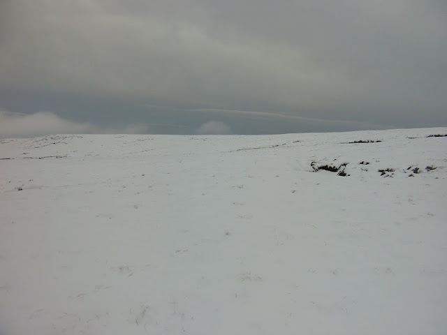
Continuing on from the wreckage now, across the peat hags and bogs towards the Pennine Way in white-out conditions...
Back onto the Pennine Way. Although this is a well walked path, I remember this is about as far as I got on my previous visit due to the rain, but also the visibility. It is so easy to get lost on Bleaklow, one minute your following the path, then due to the groughs that intersect the peat hags, you could be heading off the path and out onto open sodden moorland, the whole place is a natural maze. Partly the main reason why I purchased a GPS, even a trained map reader would have trouble navigating in low cloud on Bleaklow...
Hern Stones...
The 'Kissing Stones', part of the Wain Stones...
Time for a rest, and to take on water! At the Wain Stones, I got talking to a guy who turned out to be a Peak District Park Ranger. He said he was a trainee ranger, and also had to navigate this place at night regularly too - rather him than me! He also told me about the amount of people that have to be rescued from Bleaklow, either from being stuck in the peat, or completely lost, especially those who brave trying to navigate towards 'Bleaklow Stones', a good mile east from Bleaklow summit...I can imagine! He was an interesting person to talk to, and apparently the views from the Wain Stones are fantastic on a clear day, not today though! You can just about make him out in the below picture heading back off into the cloud...
The Wain Stones together...
Turning right at the Wain Stones heading north east again along the Pennine way for about 300 yards towards Bleaklow Head, the summit of Bleaklow at 633 metres. The summit is marked by a large cairn with a bit of wood bizarrely protruding from it. Around the base of the cairn are some marker stones arrowed to show you the way...
Thank you GPS!...
Bagged!...
Heading north west now from Bleaklow Head across Far Moss now, along the Pennine Way...
Down out of the cloud!...
The path now follows the edge of Torside Clough...
Heading downhill now, and at this point you will need to cross the clough and follow the path up the steep bank on the other side. The Pennine Way follows the clough high above it for about 100 yards, but you need to cut left across the peat bogs towards the edges of 'Torside Castle'...
Cutting left off the Pennine Way here...
The mound in the below picture is known as 'Torside castle', some historians believe it's a Bronze Age fortification, but most geologist believe it's just a mound, now peat covered left over from when glaciers carved this area out, Torside Castle is also the centre of the famous Longdendale Lights phenomenon...
Following the marker posts across some truly awful peat bogs...
Some duck board walk ways are in the worst places, but they are tricky to see in the snow. Here also, the route I drew up, cuts left off the path, directly across the moor straight towards Cock Hill. Thankfully this part of the moor seemed better drained, and less boggy....
This would have been tough without the snow on the ground. Walking through deep heather, combined with deep snow equals tough old slog...
The Trig Point on Cock Hill just about becomes visible...
It's just over half a miles trek from where I cut from the path to the Trig Point. But here, finally making it to the summit of Cock Hill at 426 metres, with Kinder Scout behind...
Cock Hill seems to have been heavily quarried at some point in its existence. From the Trig Point there is a path that you can follow quite clearly south west, that cuts sharply down hill in places...
Rather than walking in this ditch, keep to the left edge, you cant really see it here, but there is a well trodden path...
Before you reach this section of the channel/ditch, cut left down hill...
The path swings left here, and has you scrambling down the rock strewn side of Cock Hill into a wooded area at its base...
After going through the wooded area, the path crosses over 'Small Clough', then ascends again for a time.
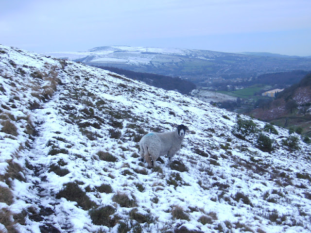
Here a Derbyshire beast guarding the way back to Glossop...
A conveniently collapsed dry stone wall acts as a good way marker for the path here...
Path cutting steeply down hill again here...
This muddy part of the path becomes a muddy track way that passes a cow pasture, before you come out onto a substantial lane...
Beast guarding the lane...
Cut right onto the lane and follow it for a good three quarters of a mile back towards Old Glossop...
Once you've passed by some factory's and a pub at a road junction, cross over the road and follow an alley way passing by a church. Follow this until you reach the B6105, turn left, and head back towards Glossop railway Station.
I was glad to finally have got to complete this walk. It was a shame that the visibility was not better, but maybe I will return again in the summer.
Overall, a good hike. I'll leave you with a link to a blog which I found a good read about Bleaklow, all about its supernatural occurrences, and the history of the place.
Thanks for reading :)
