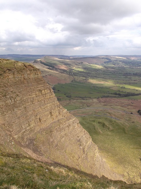
A circular walk, 9.5 miles - 4 hours.
A classic & relatively high hill walk, taking in one of the most popular and striking ridges in the Peak District.
The forecast was excellent, a welcome relief after the weather that has assaulted the country so far this year. This walk I had planned to do for some time after climbing surrounding high points in this particular part of the Peak District. This walk would start from Hope, a small Derbyshire village that lends its name to the valley it sits in, with even the railway named the Hope Valley Line.
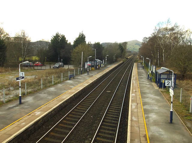
Here arriving into Hope station...
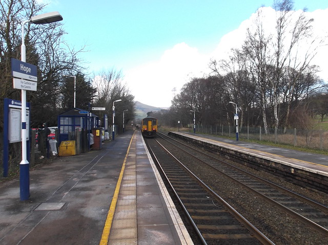
The route heads left from the platform's wicket gate and follows a small lane towards the A6157. I turned right and followed the busy road which thankfully has pavement to walk along.
Here coming into Hope village, with high looking Lose Hill taking centre stage...
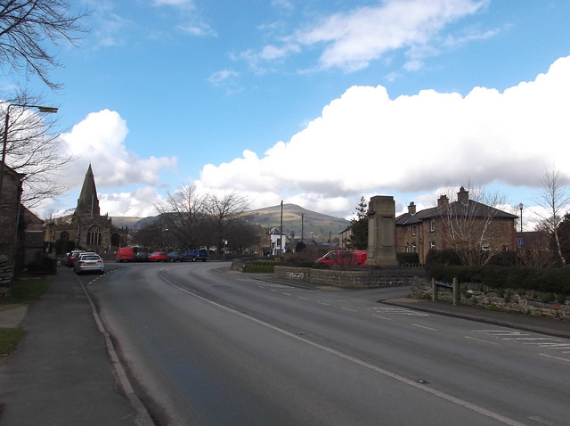
Turning left in front of the above church, a small lane leads you to a bridge that takes you over 'Peakshole Water' before a footpath cuts right from the lane...
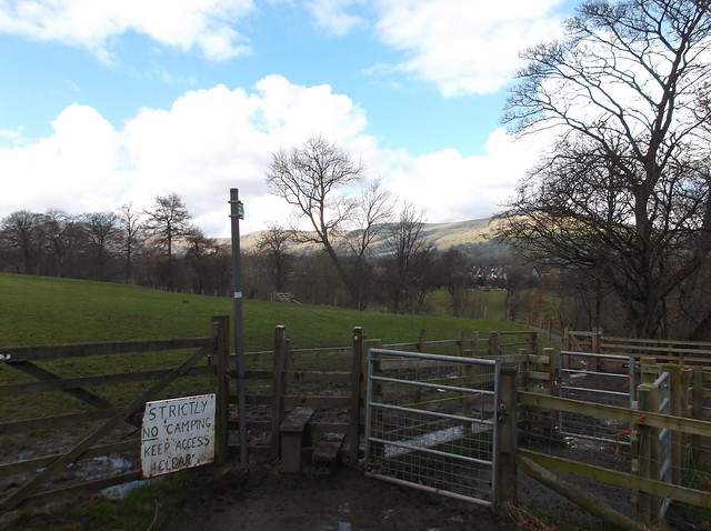
Lose Hill across Peakshole Water...
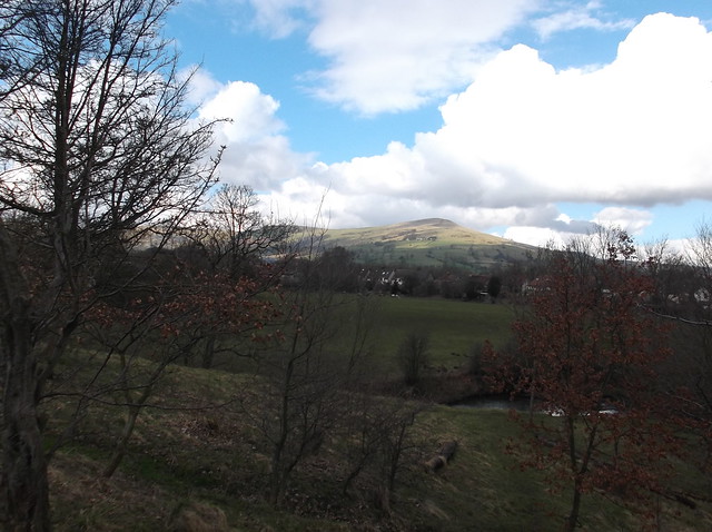
The footpath continues following the river bank, here some evidence of the recent high winds in the area...
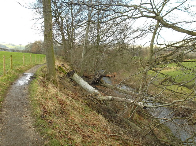
The footpath crosses the branch line for the Hope cement works. This is a popular place for people wanting to catch a glimpse of the Class 20's that the works use to shunt the cement wagons up and down the branch line from the main line. A crossing with flashing warning lights is in operation here to help you across the line safely...
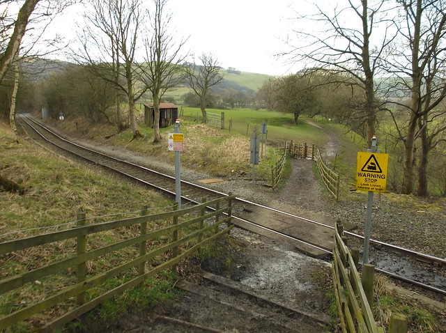
I got talking to a father and son who were waiting to take a photo of the Class 20 that was due to return to the works from the main line, who explained the walk I was doing was a seemingly well known circuit to the locals. Here, the train approaching...
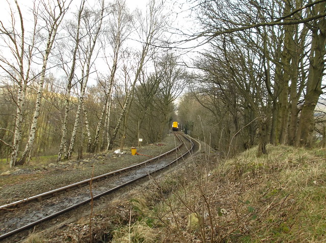
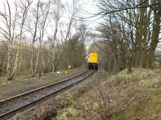
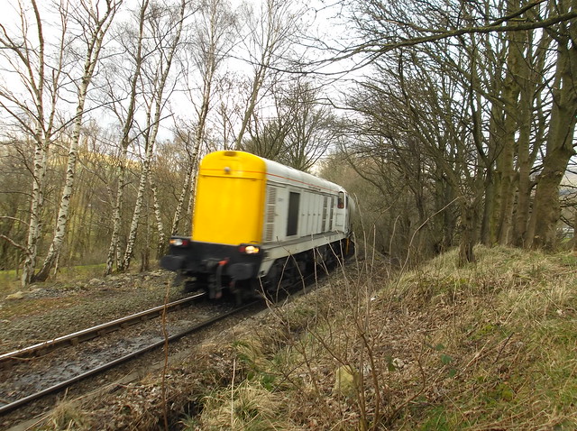
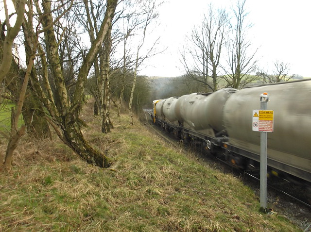
So after a bit of trainspotting, it was time to continue along the riverside footpath...
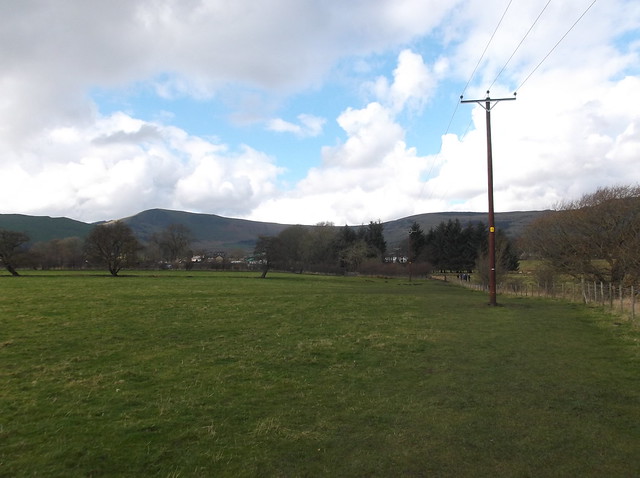
This small lane allows you to cut from the riverside footpath and into the village of Castleton. From the lane you get a good glimpse of the first hill to climb on the walk the distinctive Mam Tor...

The pretty village is a popular tourist hot spot, giving easy access to some of the finest caverns in the country, Peveril Castle and of course Mam Tor...
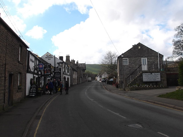
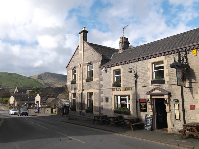
After walking through the village I kept left at this junction and followed the raised pavement at the side of road called Arthur's Way...
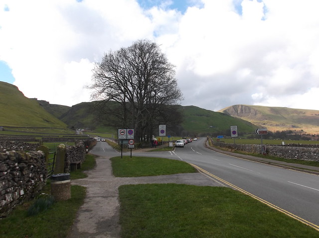
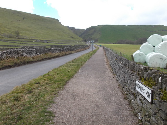
The steep road passes the popular Speedwell Cavern, before heading through the stunning Winnats Pass...
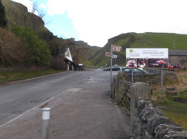
Winnats Pass..
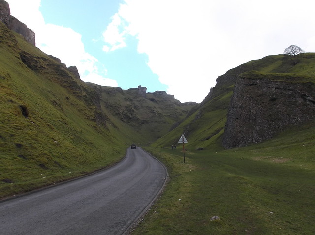
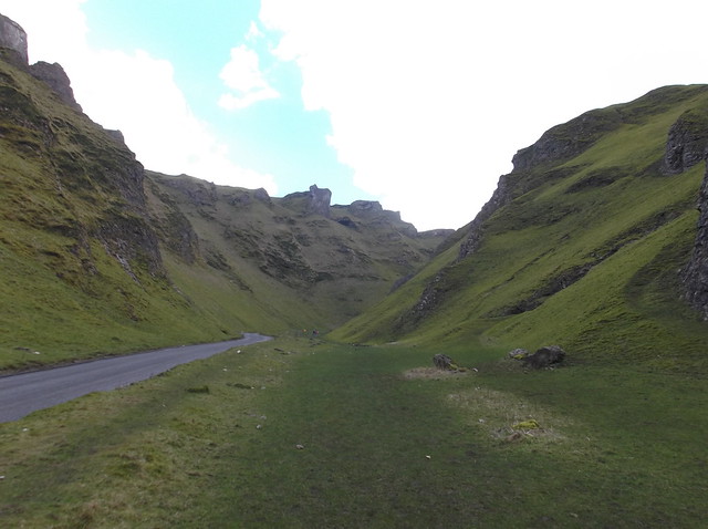
Winnats Pass is sadly a very busy road, and it's a steep part of the walk too, so I was breathing in car fumes at this point. It had been a cold night, and amusingly sheep were licking the salt off the road causing some cars to swerve. I can only imagine how nice Winnats Pass would be if they got rid of the road entirely, but hey ho - we can all dream.

The route continues up along the steep pass for a good mile before you come to a cross roads...
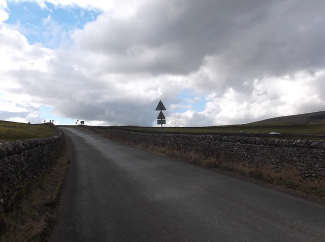
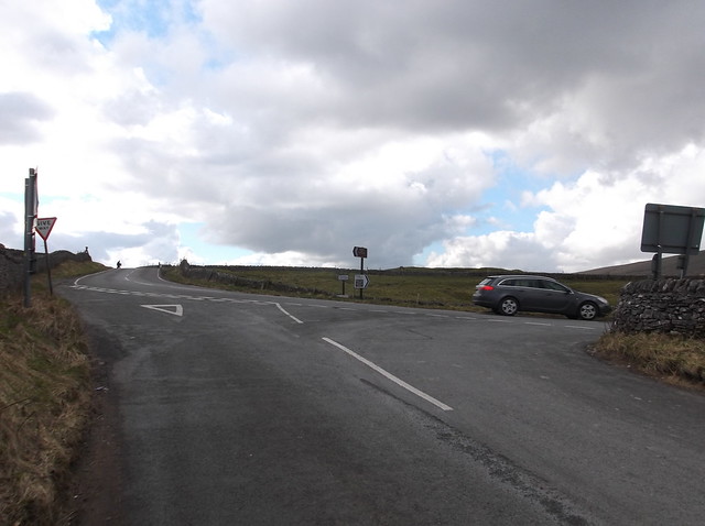
After heading over the cross roads a path cuts off from the road. Here about to enter out onto the footpath, with the Great Ridge looking good up ahead...
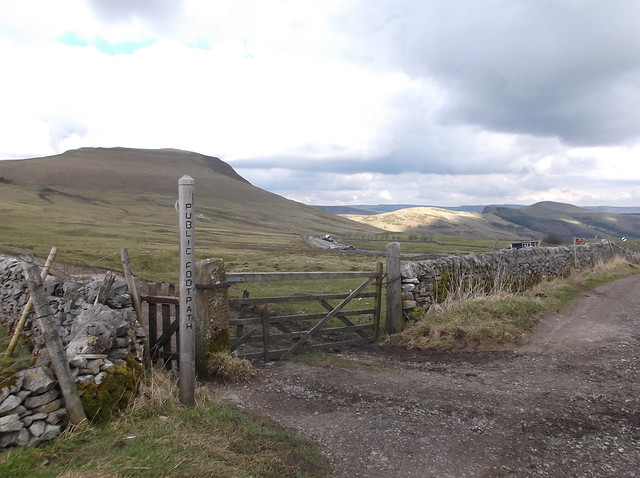
Mam Tor, the beginning of the Great Ridge...
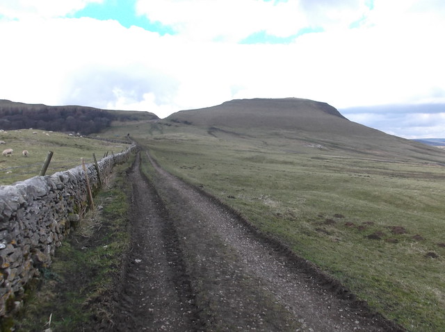
Para-gliders taking advantage of the good weather...

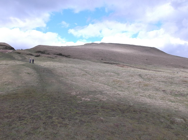
Onto the well walked steps of Mam Tor now...
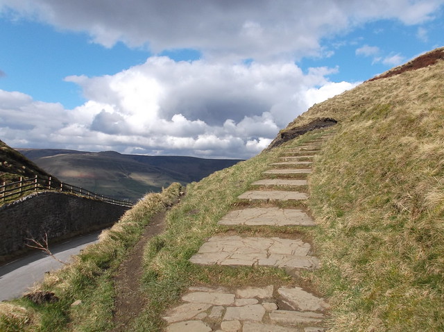
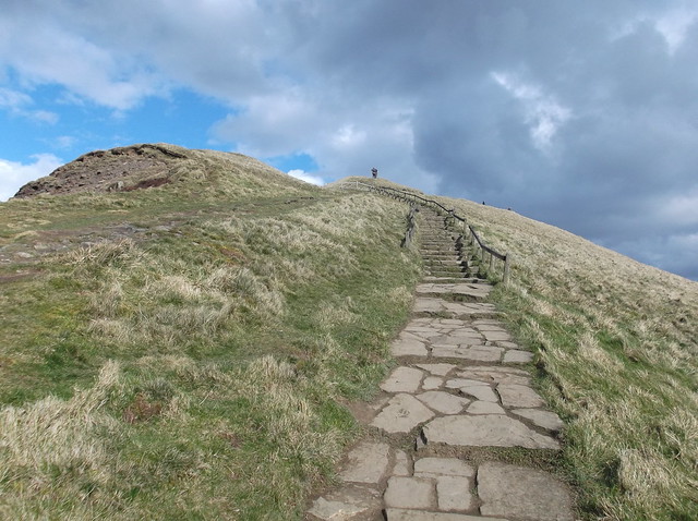
Looking west from the steps towards Rushup Edge...
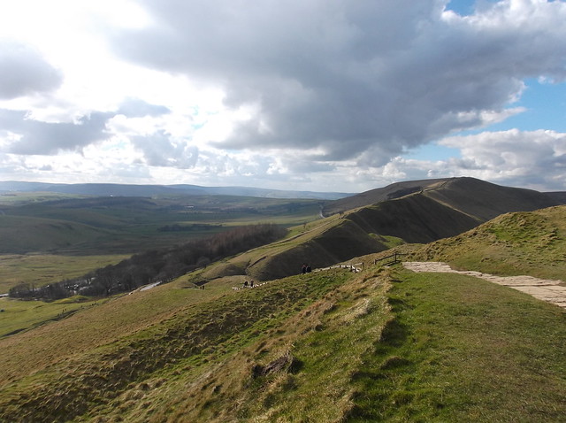
And back towards Winnats Pass, now far below...
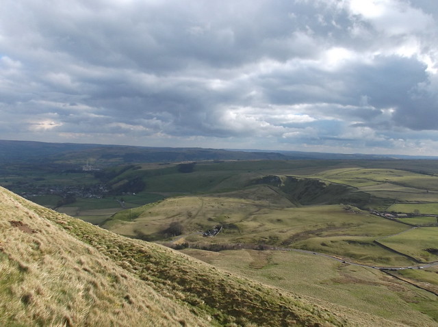
And to the stunning summit of this magnificent hill...
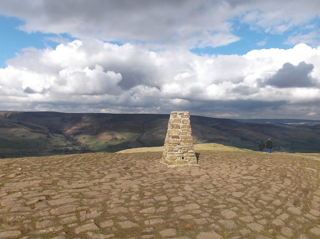
The summit Trig Point at 517 metres, with Kinder Scout beyond...
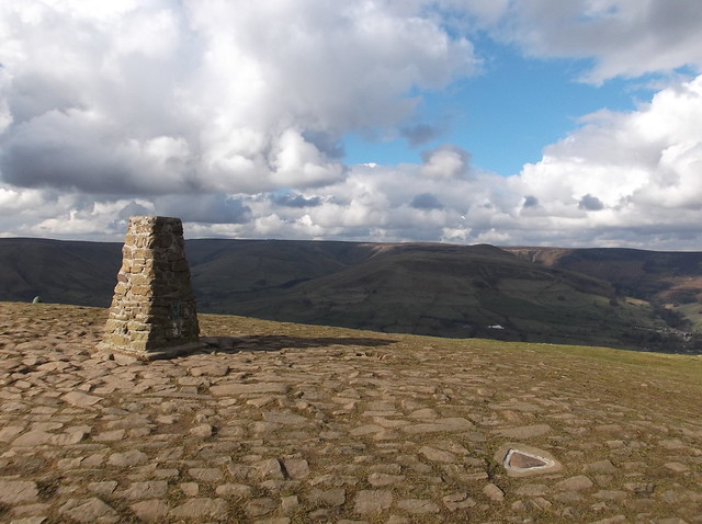
Looking down towards the old Mam Tor road that traverses the base of the hill, broken up by landslides the road is no longer in use and can make for an interesting descent of the hill back towards Castleton...
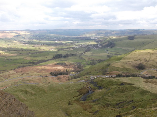
Mam Tor is one of my favourite hills to visit, so it was nice to take the time to relax on its gentle summit and take in the fine views. Mam Tor means 'Mother Hill' due to the amount of landslides that have occurred here creating lots of mini hills at its base. Here looking towards the Great Ridge from the huge gouge on the hill's south eastern edge that is probably the most notable feature of Mam Tor, this has been caused by the still active landslides that occur here...
It was time to move on from Mam Tor now and head onto the Great Ridge which now stretches out before you as you descend the hill, this is again some of the finest scenery the Peak District has to offer...
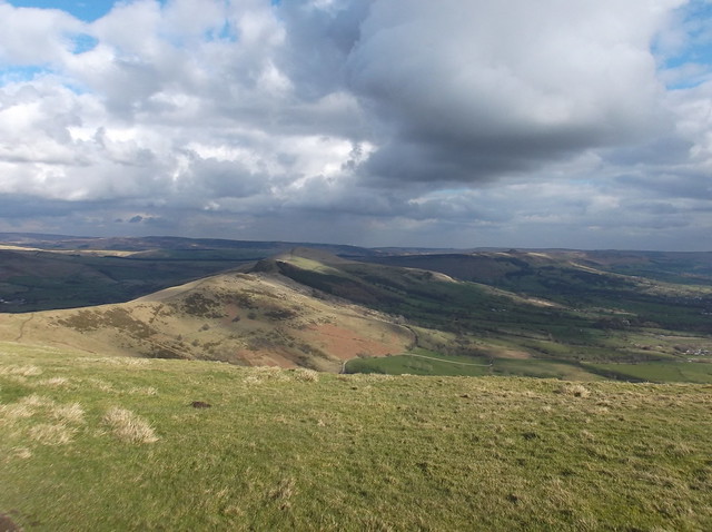
Flag stones have been placed along a lot of the ridge...
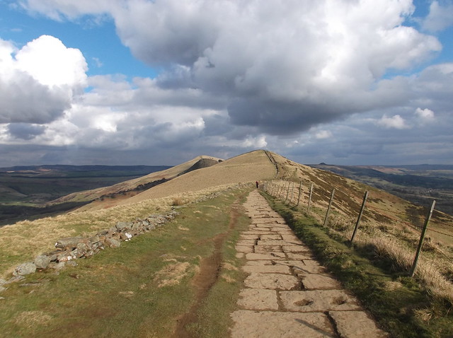
Here arriving at Hollins Cross - the lowest point of the Great Ridge at 411 metres...
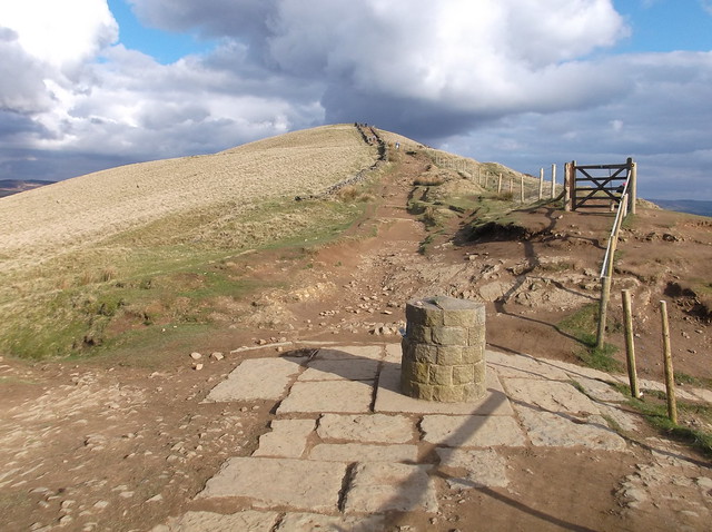
Hollins Cross stands where an actual cross was once erected, today however this stone built landmark is its representation. Curiously an electronic tag was fastened to it on this day, of which I have no idea what the tag does. I have tried to sauce what it's for but have found no answer - answers on a postcard please readers!...
Looking back towards Mam Tor from Hollins Cross...

And Mam Tor again showing the broken road at its base...
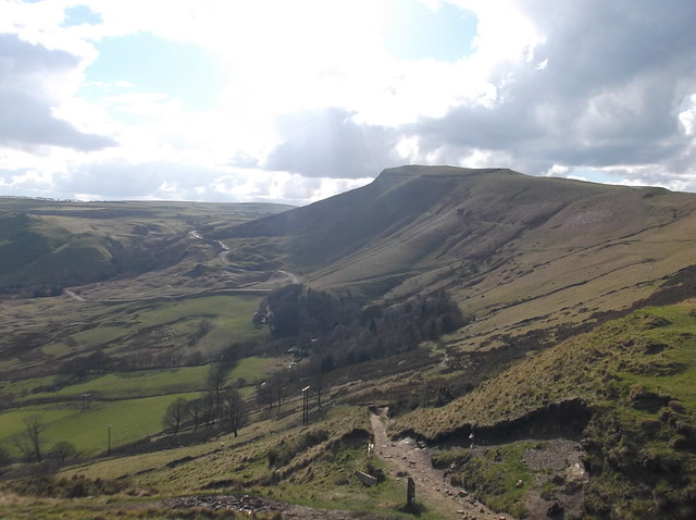
The route now continues steeply upwards across broken ground...
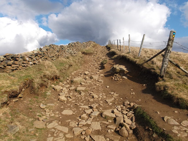
The upcoming high point that is Back Tor ahead now...
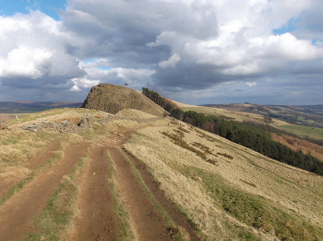
Crossing the stile here to scale Back Tor...
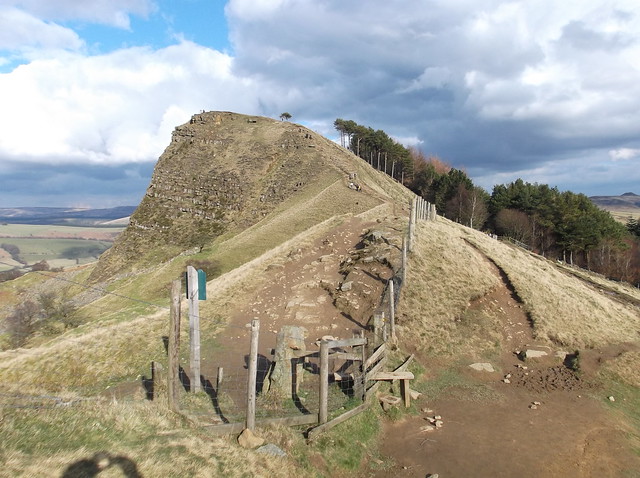

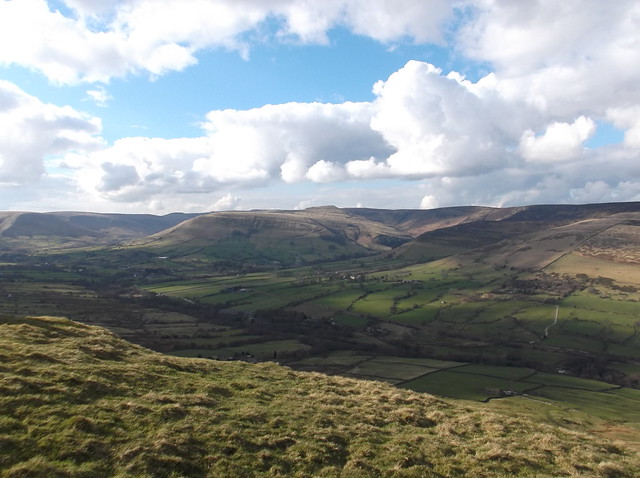
Here looking across the Vale of Edale from the summit of Back Tor towards the Kinder plateau...
This large cairn gives direction onwards along the Great Ridge...
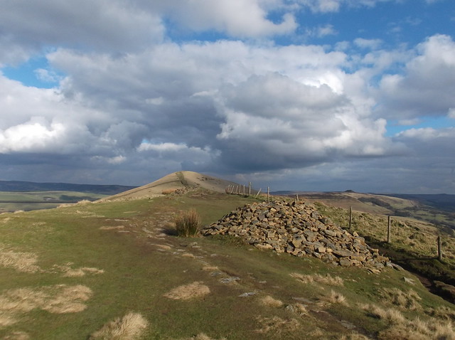
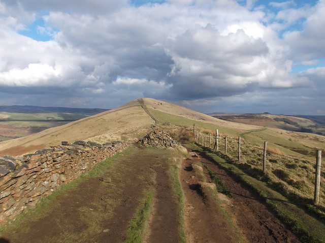
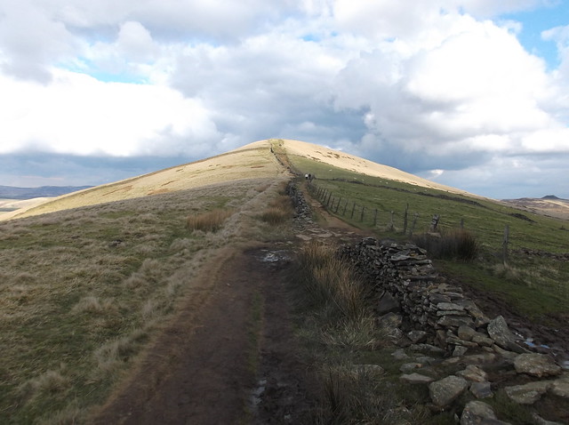
The well walked ridge path now continues towards Lose Hill...
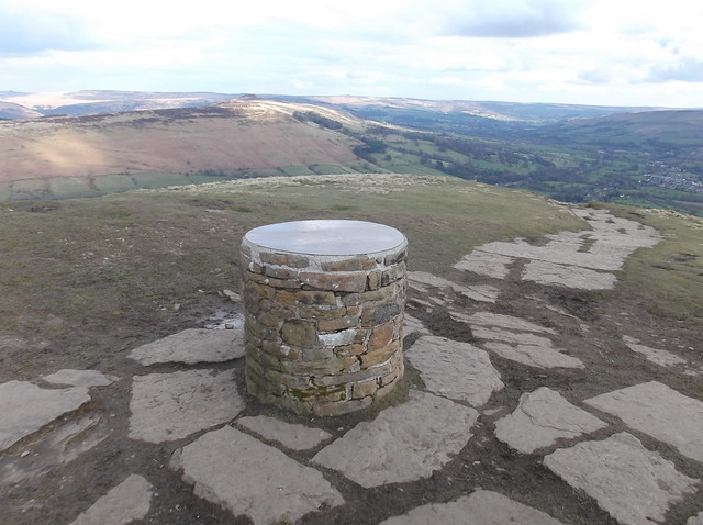
Lose Hill summit is marked by this Toposcope at 476 metres...
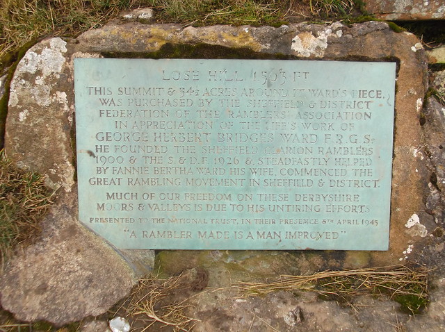
Lose Hill is also known as Ward's Piece. A placed memorial stone on the edge of the hill states that George Herbert Bridges Ward who founded the Sheffield Clarion Ramblers, along with his wife commenced the great rambling movement in Sheffield & District of which much of the freedoms to roam the hills and moors of the area is due to their untiring efforts.
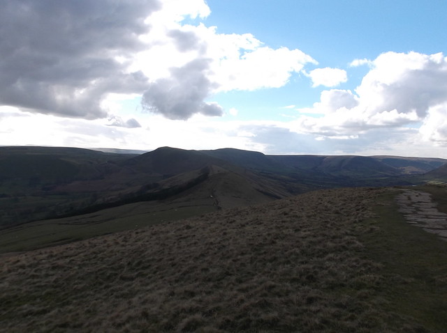
Here the Great Ridge with Mam Tor at its far end, with Lords Seat beyond...
The stone memorial...
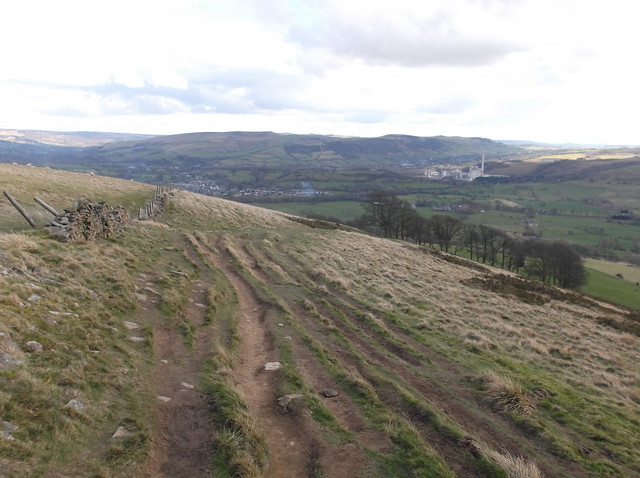
The path now heads steeply downhill towards a farm. The lower part of Lose Hill is a little bit boggy, this stile allows you over the fence to continue the route...
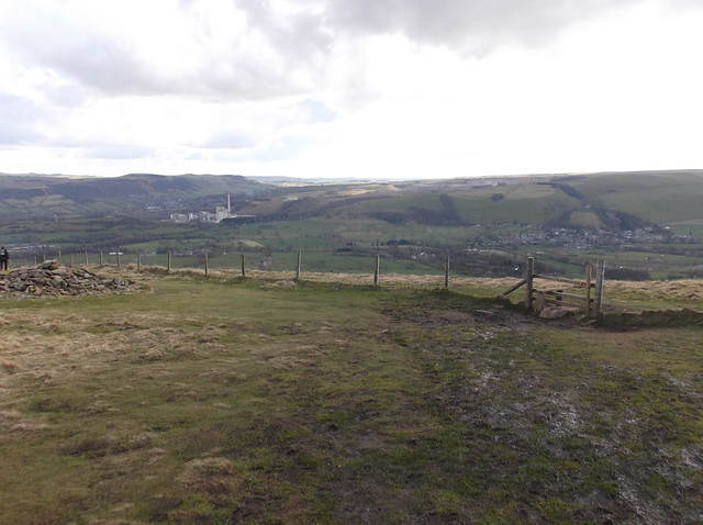
Once over the fence you get a good view towards Hope village and the Hope cement works, with Shatton Edge beyond...
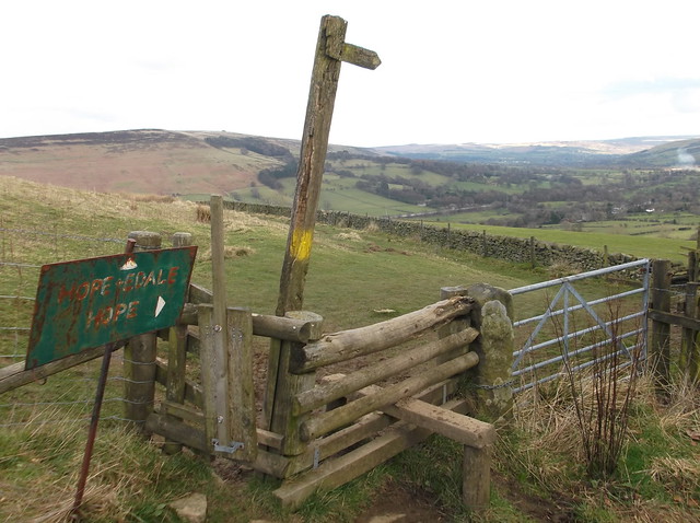
To pass by the farm, there are plenty of signs to give you direction...

This bridge allows you back across the Hope cement works branch line, it is however limited to how many people it can carry - so if in a large walking party it's worth taking caution here...
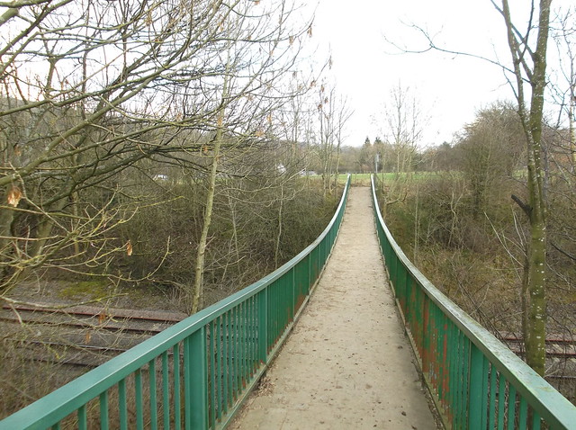
As you come back into Hope village the route cuts back across the busy A6187. My route then takes a small lane that cuts towards Hope cemetery where it cuts right along this lane that heads under the Hope Valley line...
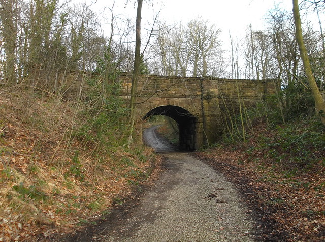
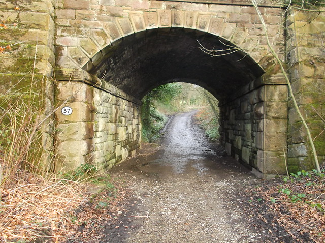
The route then continues uphill for a short while before cutting right again along a lane. Just before the lane heads back under the railway line, a footpath then cuts left across fields back towards Hope Station...
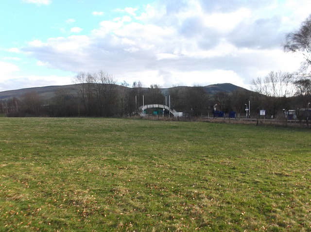
Hope station with pointy Lose Hill in the distance now, completing the walk...
Overall a great little walk that I could quite happily make into a regular stroll. Perfect for any day of the week, this one I will remember for a long time to come. Thanks for reading.


