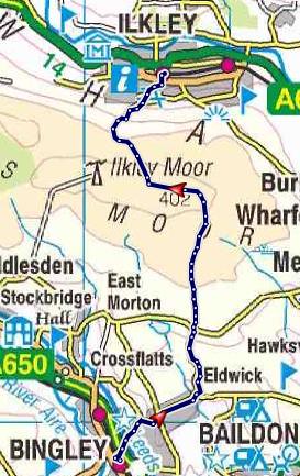
A linear walk, 7.6 miles, 3 hours.
A good station to station walk taking in probably Yorkshire's most famous moor.
It was the first day of 2016 and that means a walk. I have to admit to not rambling as much as I would like these days and spending far too much time on a bicycle, but this year I have made a new years resolution to do more exploring of Britain's high places.
Part 1. Bingley Railway Station to Dick Hudson's
Despite the horrendous floods that had plagued the north of England over the Christmas period the trains were running as normal even to the starting place of this walk - Bingley Railway station. Bingley had itself suffered in the floods, but today it was fine.
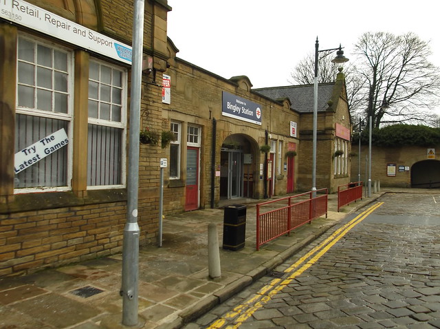
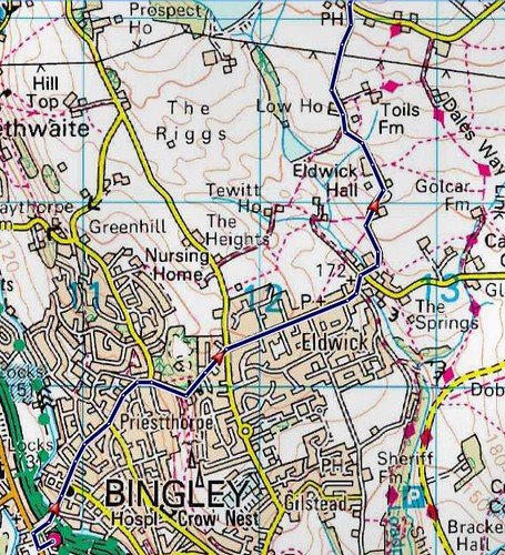
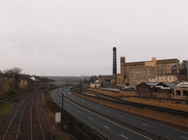
It was a cold start to the year registering freezing point at Bingley Station, but most importantly, no flood water about! The walk starts by heading out of the station car park towards the main road 'Park Road' that passes Bingley railway station then turning right and following the road over the railway tracks, the A650 dual carriageway, and the canal...
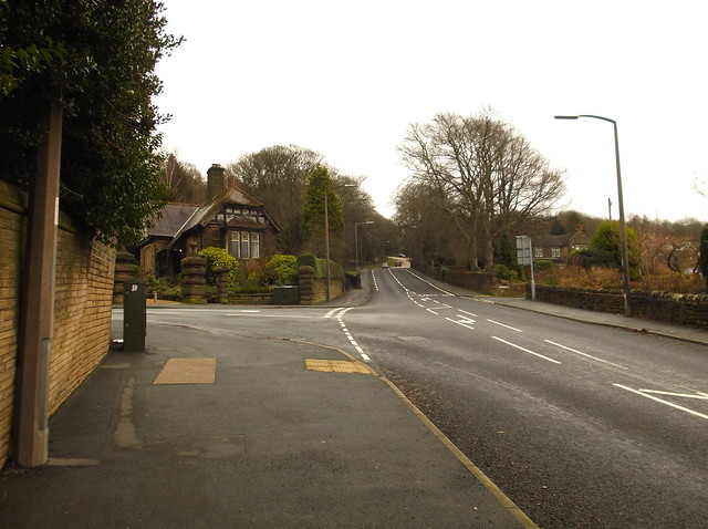
Park Road rises relatively steeply out of Bingley and passes the Prince of Wales Park before getting steeper again...
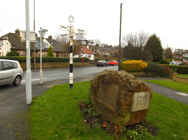
Where the road starts to level out you come to a small roundabout where you need to continue straight on through the village of Eldwick...
A distant looking Bingley Moor comes into view here...
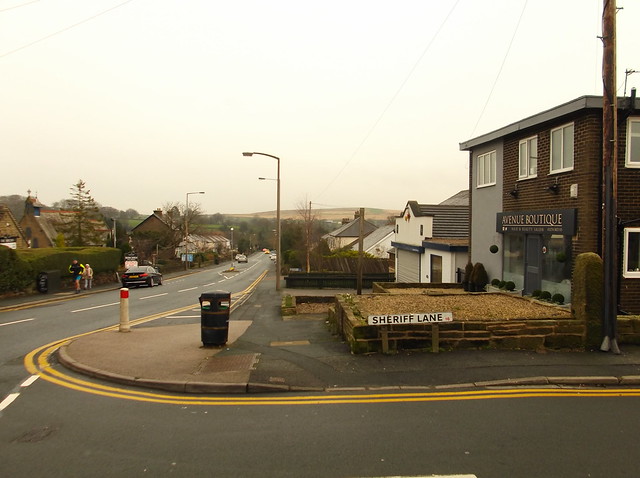
The road continues winding its way uphill across the West Yorkshire countryside towards High Eldwick...
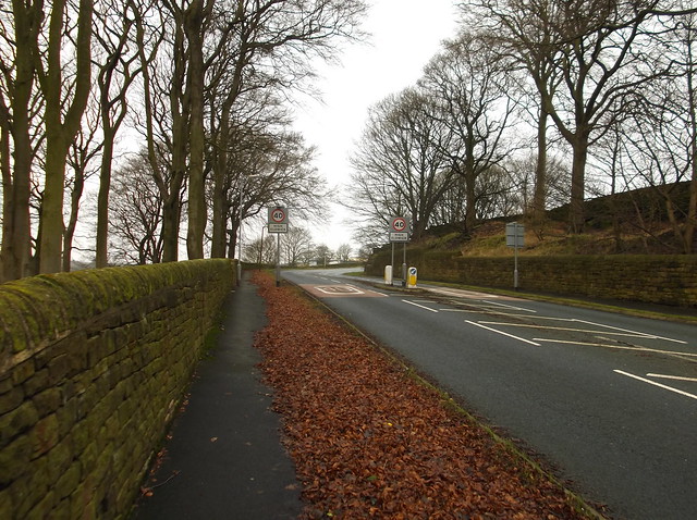
The road passes Eldwick Hall here, there is no pavement however for this section...
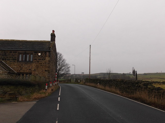
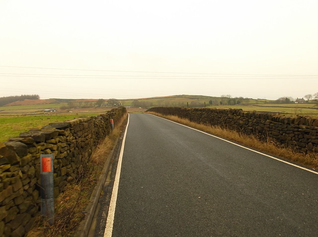
The road eventually comes to a T-junction where on the corner is the Dick Hudson's public house...
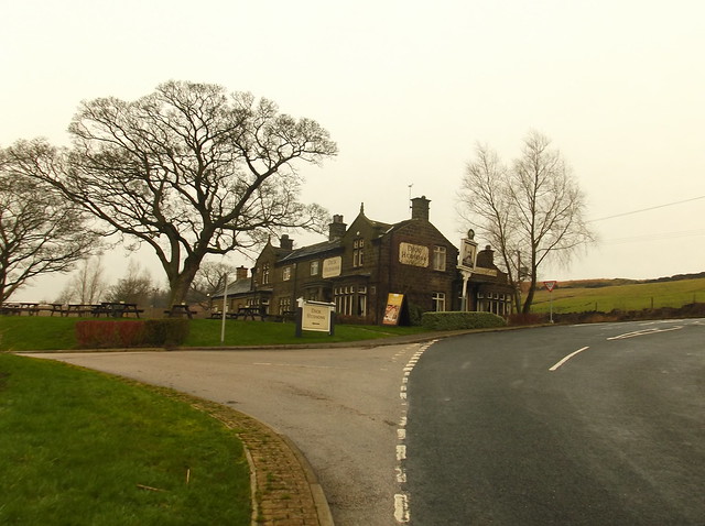
Part 2. Dick Hudson's to Ilkley Moor summit
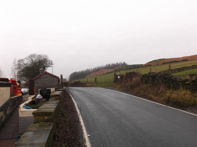
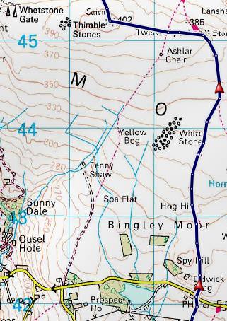
The path from here takes you out onto what is marked on the OS map as 'Eldwick Crag' - which is the far edges of Bingley Moor...
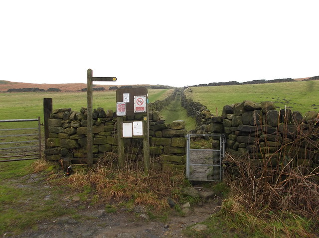
Getting off road now...
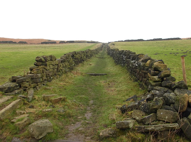
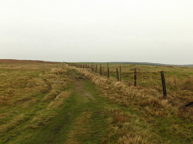
Bingley Moor was boggy as you can expect after the relentless rain of the Christmas holidays, it was also bitterly cold...
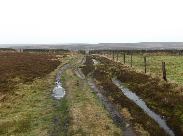
The vast expanse of Rombalds Moor up ahead now...
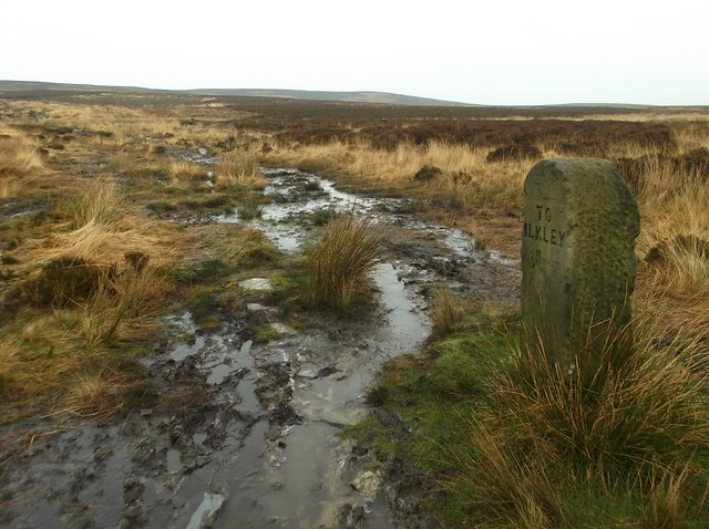
An old waymarker stone marks your route here...
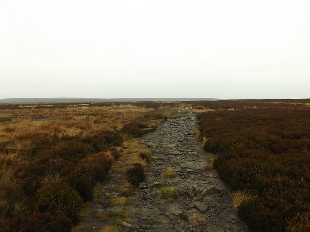
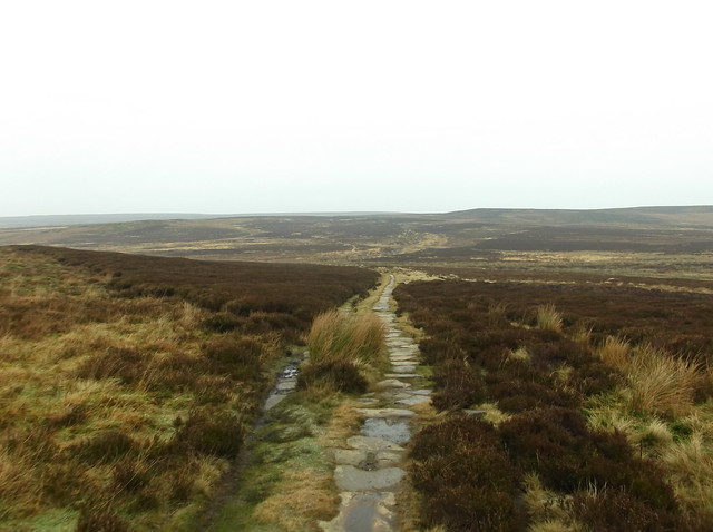
The path now brings you out onto Burley Moor...
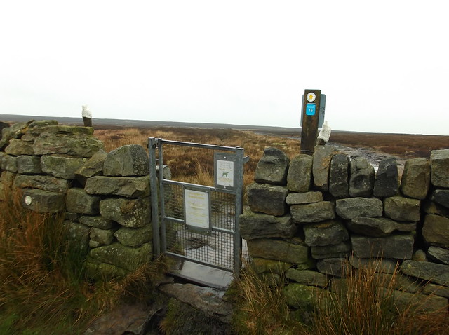
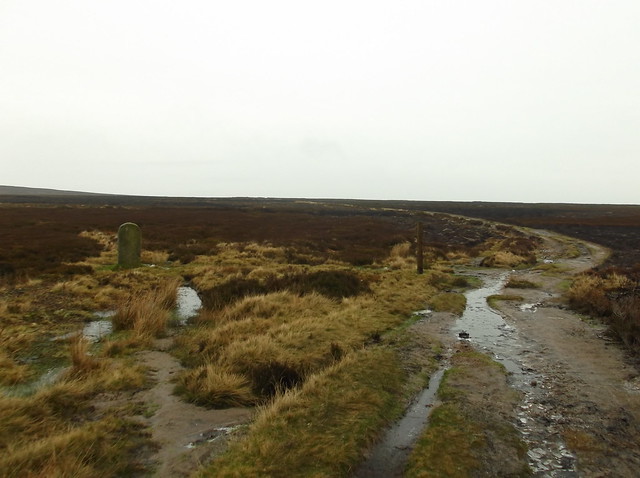
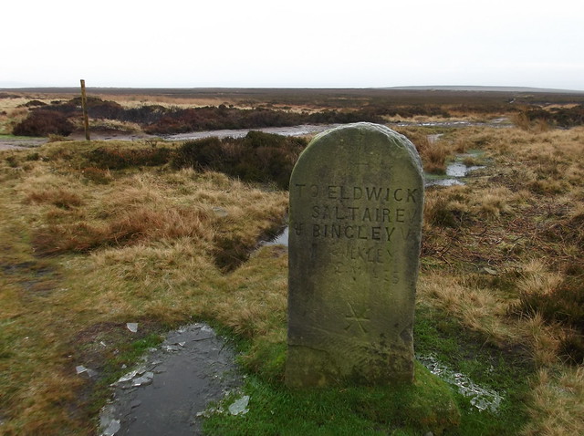
Onto the edges of Ilkley Moor now, the ground was frozen solid here...
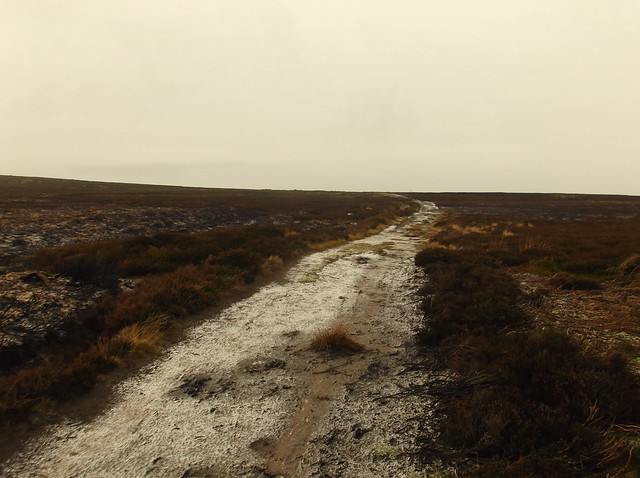
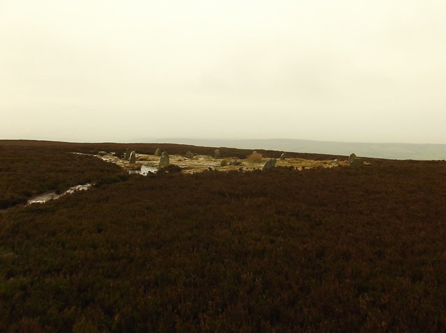
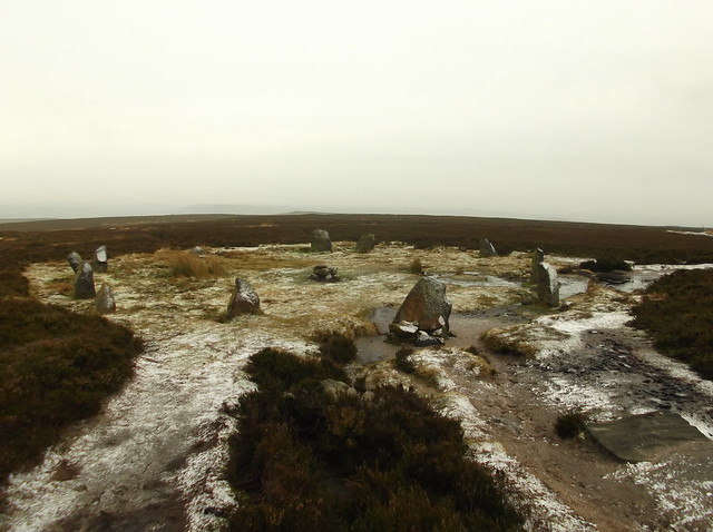
The Twelve Apostles Stone Circle is always worth a visit when on Ilkley Moor...
My route for this walk across the famous moor continues directly west now across the rough opposite the stone circle and follows the land uphill towards the highest point of the moor. My route eventually intersects with a well built pathway that will take you all the way up to the Trig Point on the summit of Ilkley Moor...
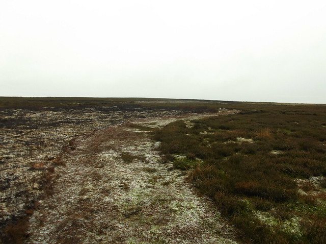
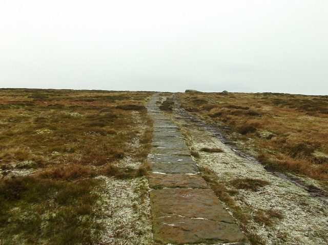
Ilkey Moor top at 402 metres...
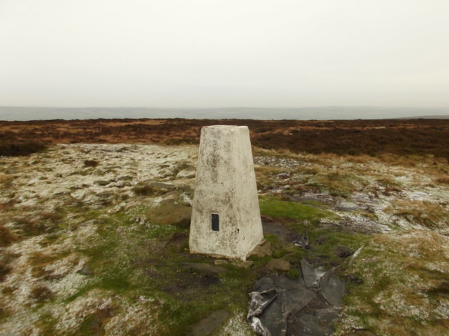
Part 1. Ilkey Moor summit to Ilkley Railway Station
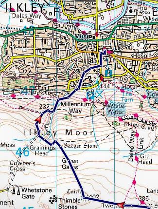
The route from the Trig Point heads pretty much due north and heads steeply downhill...
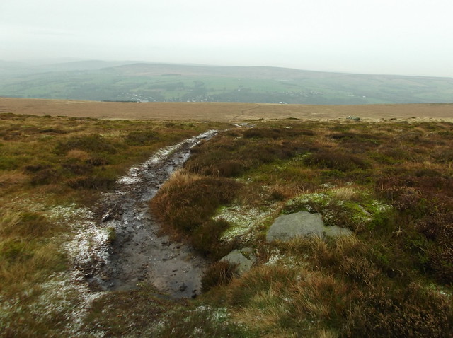
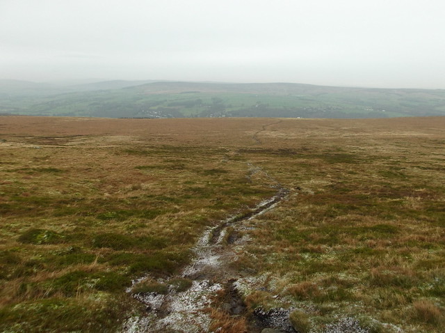
The town of Ilkley comes into view from 'Green Gates'...
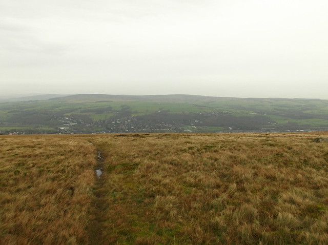
The route now cuts left to follow a well walked pathway...
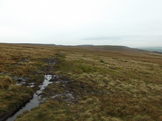
A slight detour from the path to view the Badger Stone...
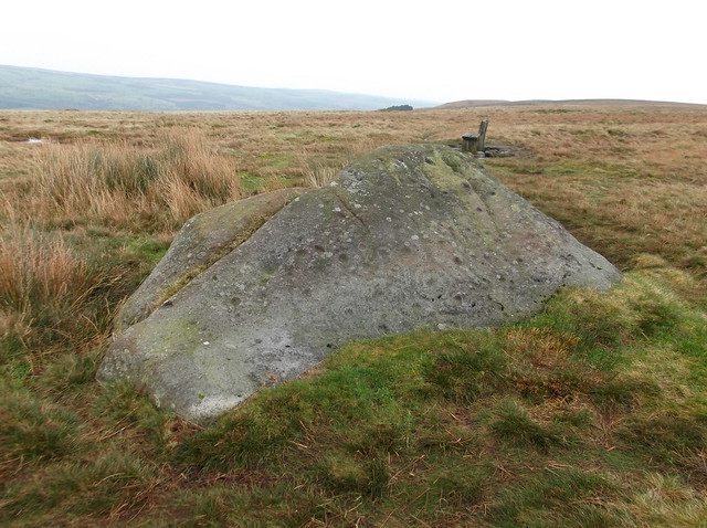
The Badger Stone in relation to the highest point of Ilkley Moor...
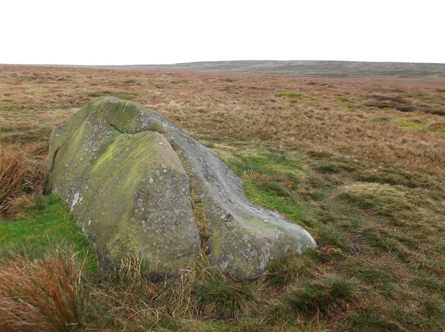
Back to the path again now heading towards a dip in the moor called Grainings Head...
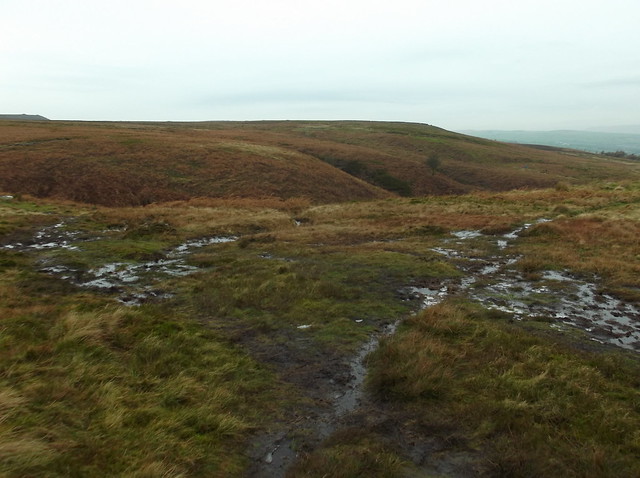
Looking towards Beamsley Beacon across Wharfedale from Grainings Head...
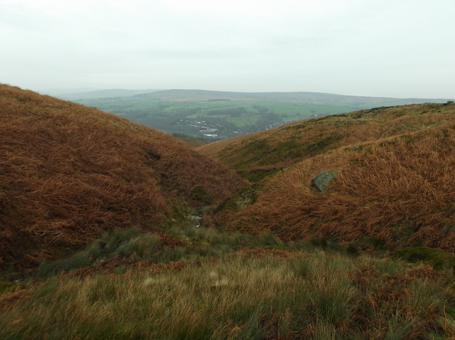
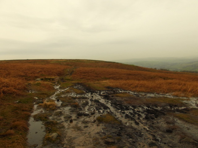
The path brings you out onto this well maintained track which is called 'Keighley Road'...
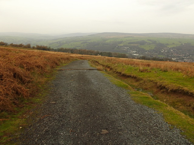
The track becomes a tarmac road as you head further downhill and joins onto Well Road. Cross over the road and head along this path through the woods...
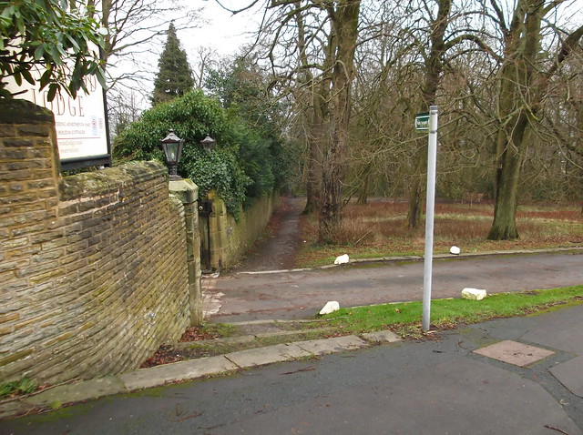
The path brings you out onto Queens Road turn right and follow the road downhill turning left onto Back Parish Ghyll Road that brings you out onto The Grove. From there head right this will bring you out at Ilkley Railway Station.

