A linear walk, 10 miles - 4 hours.
I drew this walk up last minute on Saturday night, a linear walk from the far outpost of West Yorkshire – Marsden, to Slaithwaite. Both towns are on the Trans-Pennine route surrounded by high level moorland, and the area is the most northern point of the Peak District.
The weather was once again set to be heavy rain, but looking out from my window in Leeds the sky told a different story! This would also be a late start after hearing the forecast, but I was going, if anything to test out my knee that had given me pain on my last hike to Aran Fawddwy.
The journey is a quick hop, changing at Huddersfield. I arrived into a wet Marsden at 14:40 and set off down the street from the small railway station into the maze that is the town. Never mind about low cloud on a hill somewhere, I was glad to have my GPS just to get out of Marsden!
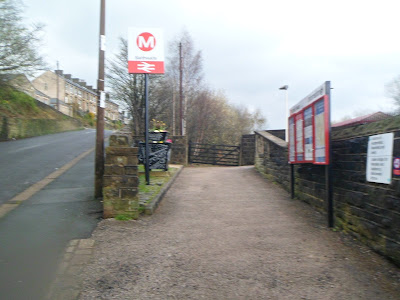
Marsden Station...
Eventually after walking for a good 15 minutes I made it to the steep road that leads you out of Marsden and up towards Butterly Reservoir…
Glad I didn’t have to walk up these steps…
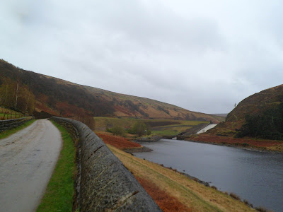
Blakely Reservoir…
Still some snow clinging to the moor sides following last weeks blizzards. Here water falling off Wessenden Moor…
I’ll ‘skip’ this picture...
Just before you get to Wessenden Reservoir the path splits, take the left hand path here, a sheep was on her way down it in this picture…
Passing Wessenden Reservoir, and the edges of Wessenden Moor...
Now onto the Pennine Way…
The path snakes its way around the edges of the reservoir…
Looking North West across Wessenden Reservoir towards Standedge and White Hill…
Yet another reservoi, this time Wessenden Head…
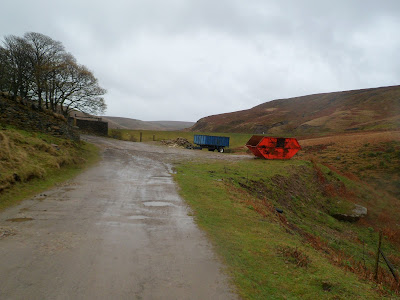
Walking the track towards a road that leads off the A635…
Looking south towards a bleak looking Black Hill…
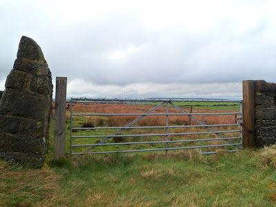
Go through this gate, this brings you out onto the road…
Turn left here and walk along the edge of the road, watching out for passing traffic!…
Here, walking the road in heavy rain. You need to follow this road for about half a mile…
And looking towards my next objective, West Nab…
When I reached this National Trust marker, I cut over the fence and headed across the peat bogs towads the sides of West Nab…
The fence has collapsed a bit further on allowing you out onto the moor…
Heading across the bogs here towards West Nab…
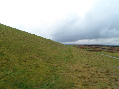
heading up the fairly steep side of West Nab…
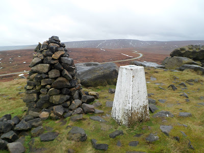
Passing the boulders to the summit Trig Point at 500 metres, and the very well built Cairn to keep it company…
Looking south towards Black Hill and the Holme Moss Transmitter…
And North East across boulder strewn West Nab towards Meltham…
Typical Peak District boulders…
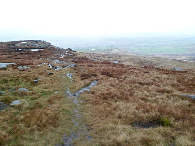
I followed a well walked path from the summit of West Nab North East back towards the road…
Cock Crowing Stone? I can only guess someone knows what it means...
The road continues steeply downhill towards the village of Meltham…
After about three quarters of a mile, take this lane cutting left marked as a public footpath…
Keep following the path/lane around to the right…
Looking back at West Nab…
Keep following the lane until you reach this cross roads, I went left here along New Bridge Road…
Then after about 400 yards turn left again up a farm track…
Follow this lane for a good 500 yards to the below gate, and then take your immediate right keeping the dry stone wall on your right. There are some good views from here of Deer Hill Moss which is according to the map a Danger Area!...
I followed this track for just under half a mile…
Turn left here and head up the track for about twenty yards, then turn right, back onto the track. This takes you to Deer Hill Reservoir…
You need to head right here, if I was you I’d ignore the steps and go along the left hand side of this fast flowing outlet. I went down the steps, and ended up having to wade through the stream. If you go left, a small bridge allows you over the fast flowing water...
When you reach the other side of the stream, this barbed wire covered gate is your next task to scale…
Although this part of the route is heading more or less straight to Slaithwaite, this is yet another one of my fanatical Trig Point bagging parts of the walk. An as yet un-bagged by myself Trig is around here somewhere, in the end I had to use my GPS to locate it!
Here heading across this marshy field towards the higher sheep filled field ahead…
Continue across the road here towards the steep muddy track that leads you down into Slaithwaite…
And under the railway bridge to the north bound side of Slaithwaite Station…
Still some snow clinging to the moor sides following last weeks blizzards. Here water falling off Wessenden Moor…
I’ll ‘skip’ this picture...
Just before you get to Wessenden Reservoir the path splits, take the left hand path here, a sheep was on her way down it in this picture…
Passing Wessenden Reservoir, and the edges of Wessenden Moor...
Now onto the Pennine Way…
The path snakes its way around the edges of the reservoir…
Looking North West across Wessenden Reservoir towards Standedge and White Hill…
Yet another reservoi, this time Wessenden Head…
Walking the track towards a road that leads off the A635…
Looking south towards a bleak looking Black Hill…
Go through this gate, this brings you out onto the road…
Turn left here and walk along the edge of the road, watching out for passing traffic!…
Here, walking the road in heavy rain. You need to follow this road for about half a mile…
And looking towards my next objective, West Nab…
When I reached this National Trust marker, I cut over the fence and headed across the peat bogs towads the sides of West Nab…
The fence has collapsed a bit further on allowing you out onto the moor…
Heading across the bogs here towards West Nab…
heading up the fairly steep side of West Nab…
Passing the boulders to the summit Trig Point at 500 metres, and the very well built Cairn to keep it company…
Looking south towards Black Hill and the Holme Moss Transmitter…
And North East across boulder strewn West Nab towards Meltham…
Typical Peak District boulders…
I followed a well walked path from the summit of West Nab North East back towards the road…
Cock Crowing Stone? I can only guess someone knows what it means...
The road continues steeply downhill towards the village of Meltham…
After about three quarters of a mile, take this lane cutting left marked as a public footpath…
Keep following the path/lane around to the right…
Looking back at West Nab…
Keep following the lane until you reach this cross roads, I went left here along New Bridge Road…
Then after about 400 yards turn left again up a farm track…
Follow this lane for a good 500 yards to the below gate, and then take your immediate right keeping the dry stone wall on your right. There are some good views from here of Deer Hill Moss which is according to the map a Danger Area!...
I followed this track for just under half a mile…
Turn left here and head up the track for about twenty yards, then turn right, back onto the track. This takes you to Deer Hill Reservoir…
On the map the path goes beyond this wall, so watch out for the camouflaged steps built into it…
Once over the wall, cut up the side of the mesh fence towards the slopes of the reservoir…You need to head right here, if I was you I’d ignore the steps and go along the left hand side of this fast flowing outlet. I went down the steps, and ended up having to wade through the stream. If you go left, a small bridge allows you over the fast flowing water...
When you reach the other side of the stream, this barbed wire covered gate is your next task to scale…
Although this part of the route is heading more or less straight to Slaithwaite, this is yet another one of my fanatical Trig Point bagging parts of the walk. An as yet un-bagged by myself Trig is around here somewhere, in the end I had to use my GPS to locate it!
Here heading across this marshy field towards the higher sheep filled field ahead…
Lingards Wood Trig Point bagged! (328 metres)...
It was now a matter of scaling this bit of ironwork in the wall to get to the farm track on the other side called Sledgate Lane… Continue across the road here towards the steep muddy track that leads you down into Slaithwaite…
And under the railway bridge to the north bound side of Slaithwaite Station…
I nice one for a Sunday stroll, give yourself plenty of time and this is a really good northern Peak District walk in any weather.
Thanks for reading.













2 comments:
enjoyed the write up and photo's as it's a new area to me, the Lingards Wood Trig looks like it was Emulsion’d instead of Snowcem’d
Don’t you adopt them and carry a pot of paint ?
cheers Danny
The Trig is a tough one to find too, or at least it was to me!
I don't carry a pot of paint with me - sadly. Maybe that could be a seperate blog - Trig Finder :D
Cheers
Post a Comment