
A circular walk, 13.5 miles.
It was the second stage of the Tour de France, and after catching the fantastic event pass by in Moortown, Leeds, there was no way I was missing seeing stage 2 go by. This time I wanted to see the riders taking on a hill section of the route. I had looked at 'cote de Holme Moss' for instance, as a location, or simply 'Black Hill' as I know it, but I've visited the hill before. I really wanted to incorporate the event into a walk, preferably a walk that I hadn't done before. So I scoured the route, and looked at the various well known towns and hill climbs, but one stood out that I definitely hadn't climbed and that was 'Cote de Cragg Vale'. The route could be incorporated into a walk from Todmorden quite easily, and that way I could visit Stoodley Pike. I have viewed the hill from many different locations with its well known monument on its summit many times, but never actually climbed up to it before. So the location had been set, and walk was drawn up.
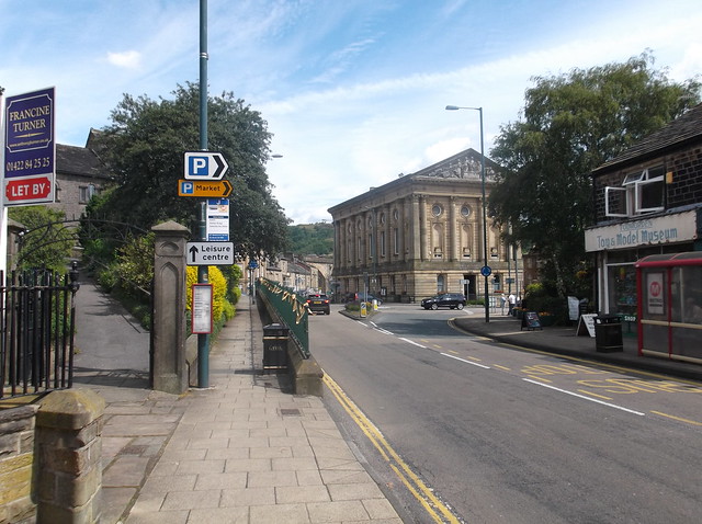
The train bringing me into Todmorden was packed to the roof with people heading to 'le Tour' . Most of the people on the train got off at Mytholmroyd, and in particular Hebden Bridge station, which was absolutely rammed with spectators all lapping up the atmosphere of the event. So after all that, arriving into sleepy Todmorden 10 minutes later, seemed like I made a mistake, and almost gone as completely out of my way as possible to avoid the event! On arrival in Todmorden the weather was hot, the mountain jacket I had on (rain was predicted) was quickly taken off and stashed into my rucksack. Here heading out of the station and heading through the fine town...
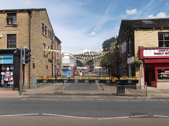
Despite 'le Tour' not heading through the town, the residents had really gone to a lot of trouble to make you think it was. A huge screen had been erected near the market place in the centre of the town showing the event, that by now was well under way, making me hasten my step a little...
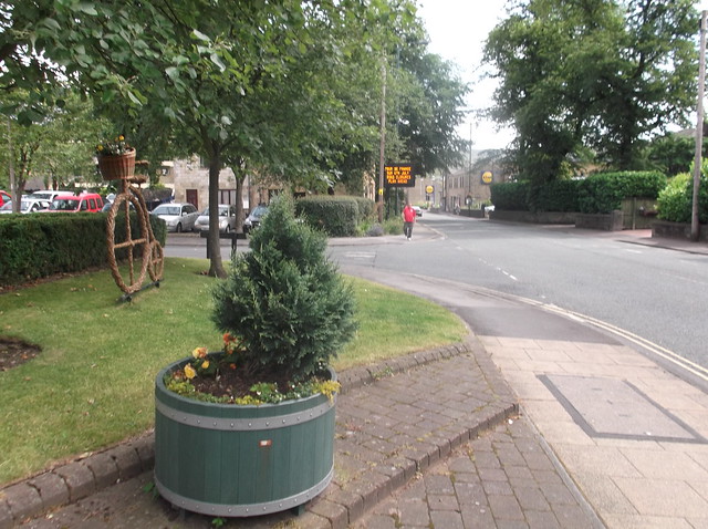
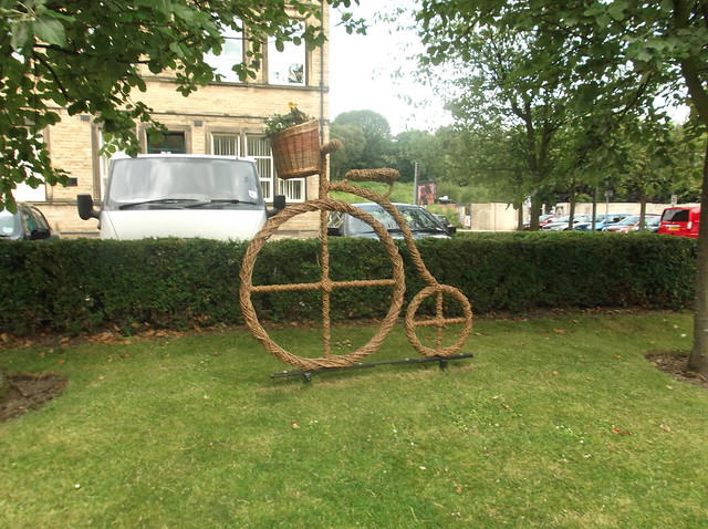
Following the A646 through the town, note the thatch weaved bike on the left...
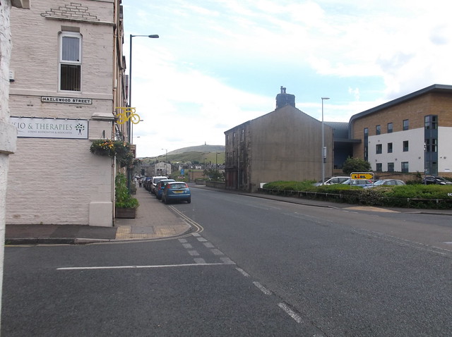
The route I had drawn up continues along the A646 for about half a mile, before cutting right along Key Sike Lane...
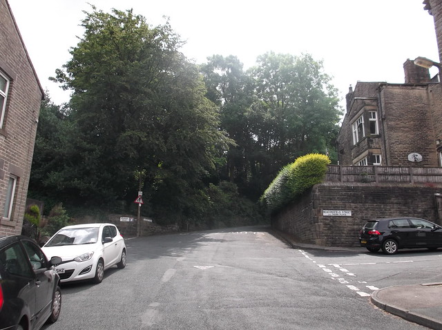
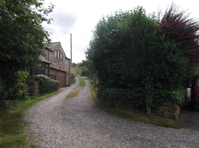
The lane starts to get steeper as you make your way along, it then heads past some more houses before a footpath continues through woods...
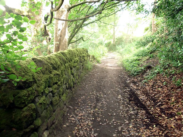
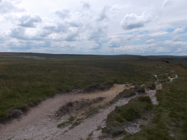
The route heads out of the woods, then begins to descend again along this track...
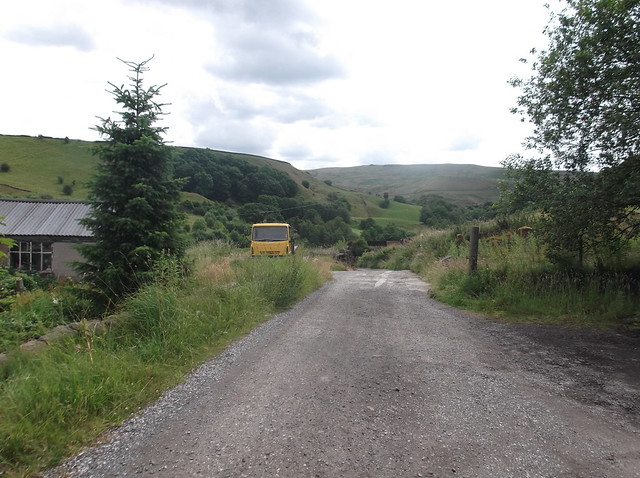
At the bottom hill the track merges onto a lane. I turned left and followed the lane for about 400 yards before cutting right here...
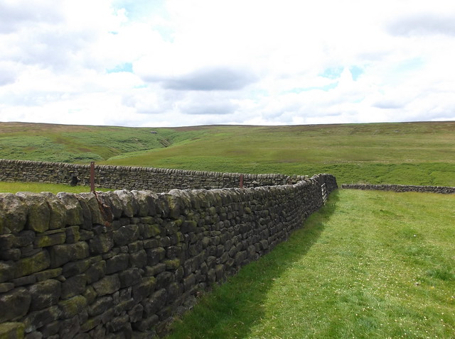
The track here soon becomes a rather overgrown footpath, but watch out for the stile on the left, that allows you out onto the hillside...
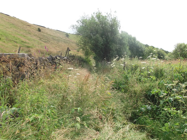
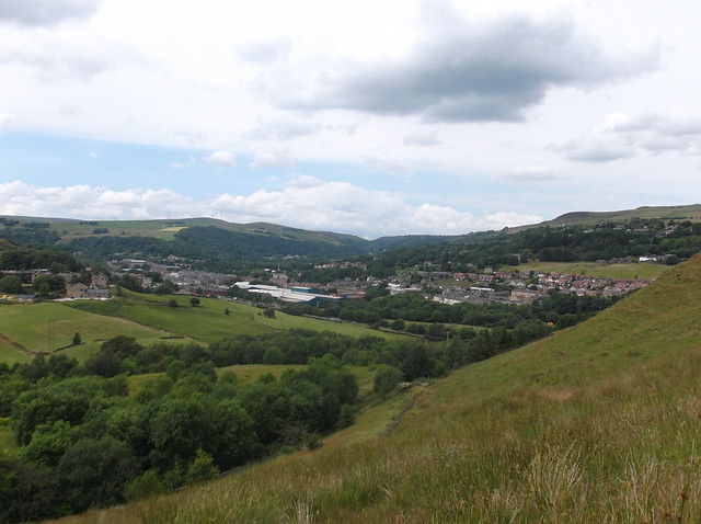
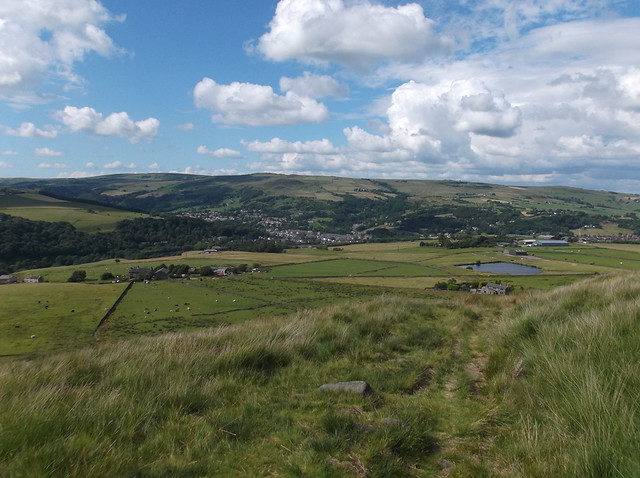
Here looking back towards Todmorden from the hillside...
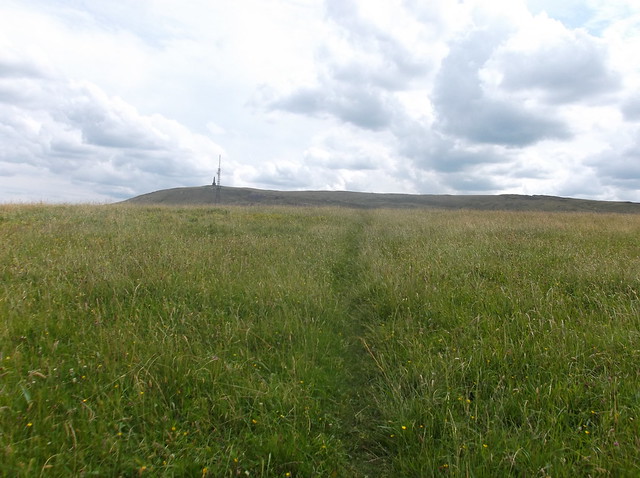
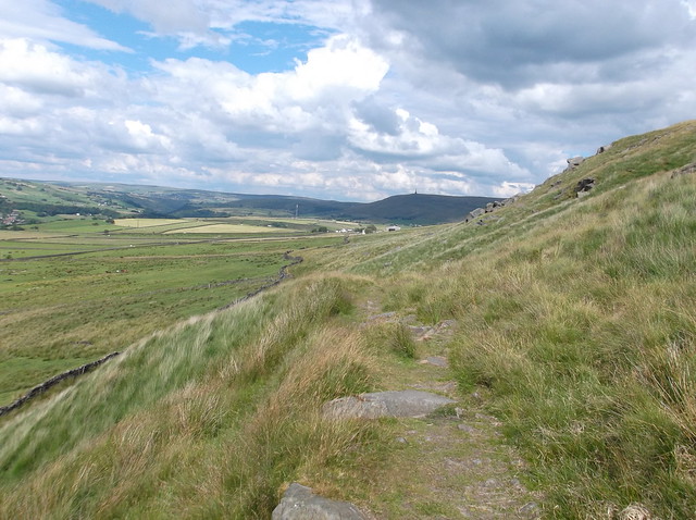
The path brings you out onto an area called Mankinholes Tops passing a TV transmitter...
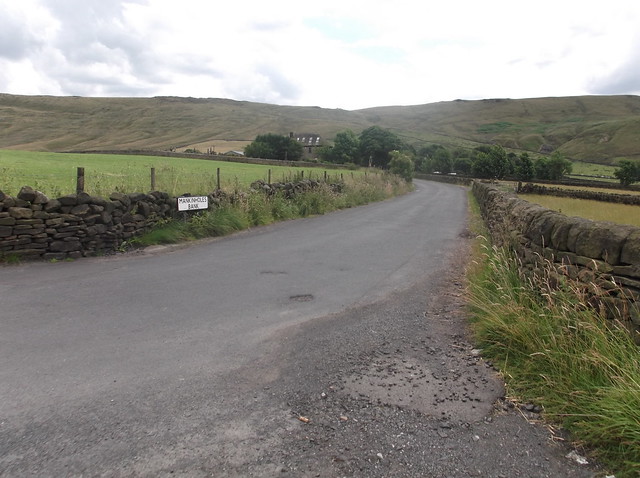
The path brings you out onto Mankinholes Lane, which takes you through the tiny Hamlet of Mankinholes itself...
The route cuts left out of the Hamlet just before you reach a Youth Hostel and heads along this rough track...
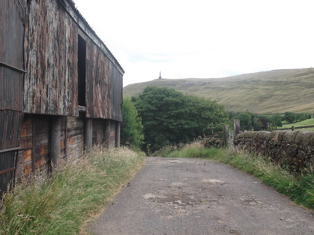
Heading along the track I cut right just before reaching Broad Carr Farm. The track heads steeply uphill before I cut left to follow this footpath (called 'London Road' according to the map) that skirts the edge of the farm...
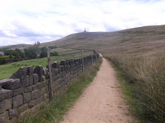
After about 3/4 mile I cut right to head steeply up the side of Stoodley Pike...
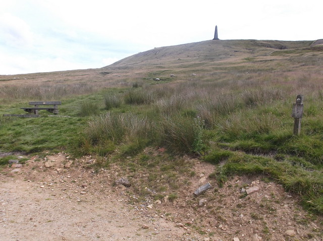
It's a very steep climb up the side of the hill...
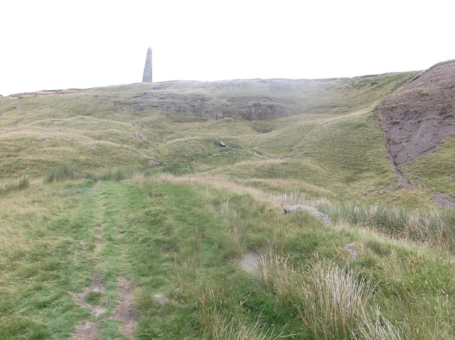
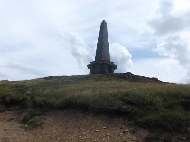
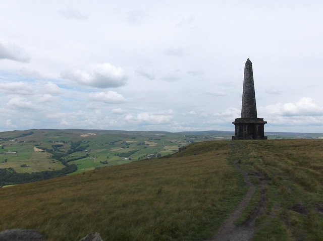
Stoodley Pike Monument stands at 121 feet high from the top of Stoodley Pike. A common mistake is that the monument is dedicated to the fallen of WW1. But actually, and unusually, the monument was built to commemorate the defeat of Napoleon and the surrender of Paris in 1814. The monument is one of the most recognisable man made features of the north of England, and the area makes for some fine views across the surrounding moors. It was at this point I noticed a helicopter moving slowly across the moor some way to the south of the monument, which I thought at that moment in time was following the Tour de France riders heading along Cragg Vale, which was quite disappointing! So, just in case that wasn't the case I hurried the pace yet again to follow the route on across the moor following the Pennine Way. Here looking back towards Stoodley Pike...
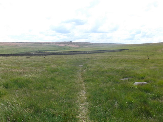
After about a mile my route cuts left from the Pennine Way at a point called Withens Gate, and then heads south east across a boggy area called 'Red Dykes' towards Withens Clough Reservoir...
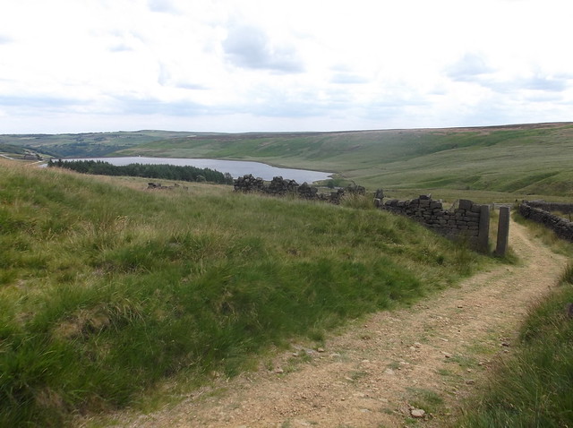
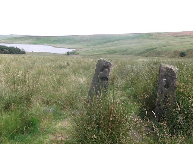
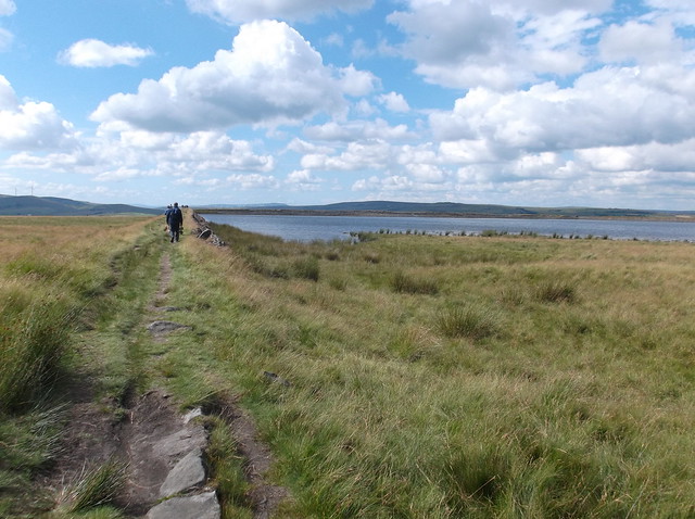
Here heading along the edges of the reservoir...
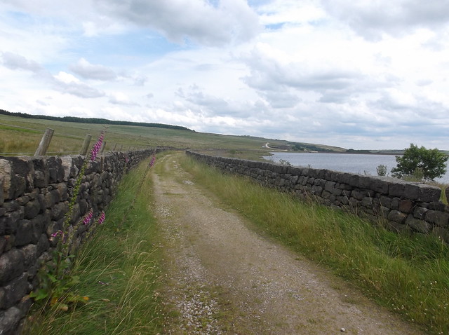
The path along the edge of the reservoir is a welcome relief from the boggy ground of Red Dykes, it is however a walk of about a mile before you reach a service lane that heads downhill towards Cragg Vale...
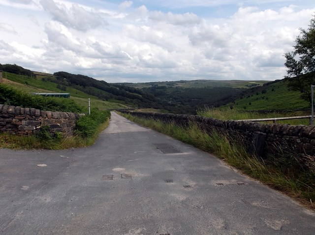
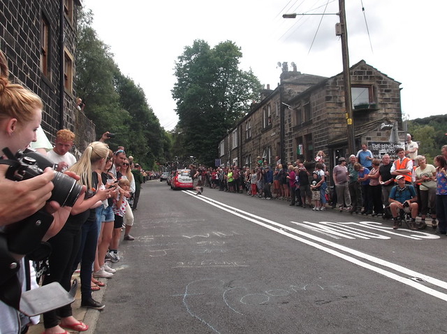
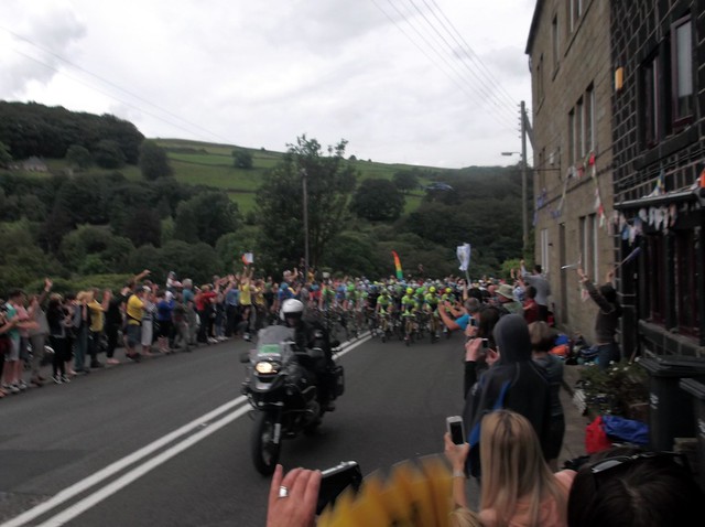
I was about to get into Cragg Vale itself where I caught up with a couple of guys with a beer in their hands coming out of a local pub in full Man City kits. I asked them what time the tour had gone through, and I was told that it hadn't gone through yet, but was expected any time! This was good news indeed!! So I headed up the steep lane further with the two City fans where the edges of the road up ahead were lined either side with people waiting for 'le Tour'. I crossed over the road just in time to catch it going through...
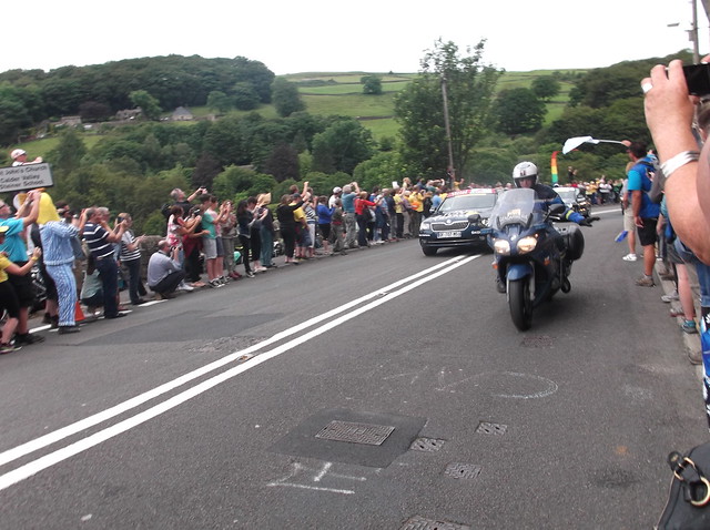
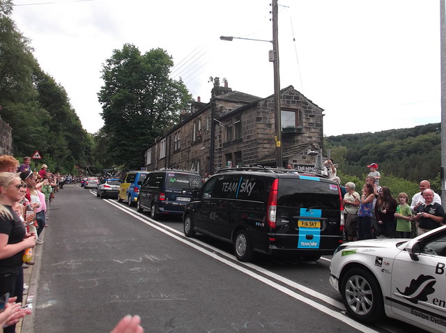
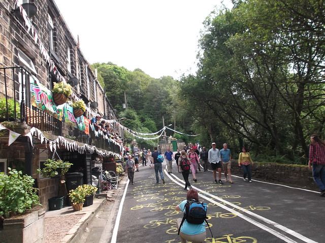
After the Peloton and all the various vehicles had past by, I started to make my way up through the pretty village of Cragg Vale...
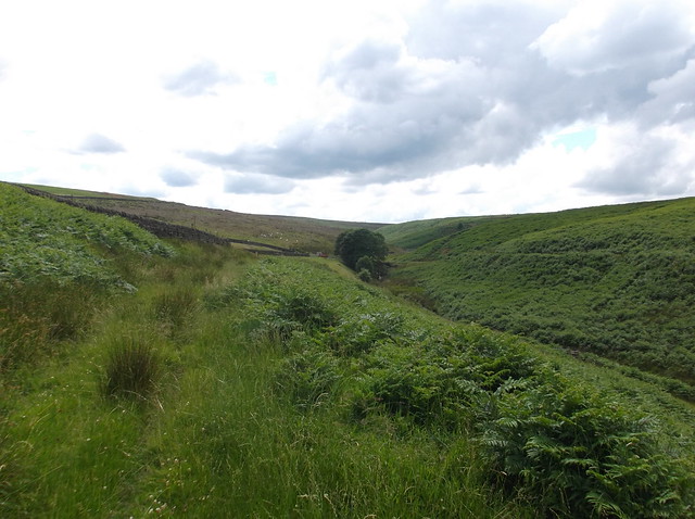
The road continues uphill for a good mile and a half before my route cuts right across a field that heads down towards the Turvin Clough. Here cutting across the field, with Turley Holes and Higher House Moor ahead...
Where the field hits the Turvin Clough, I cut left to head along the bank of the clough, an overgrown path that I then followed for about 400 yards...
A small bridge allows you over the Turvin Clough and up a track that allows you up and out onto the moor...
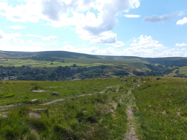
Here looking back towards the road that climbs out of Cragg Vale, a real Calderdale view...
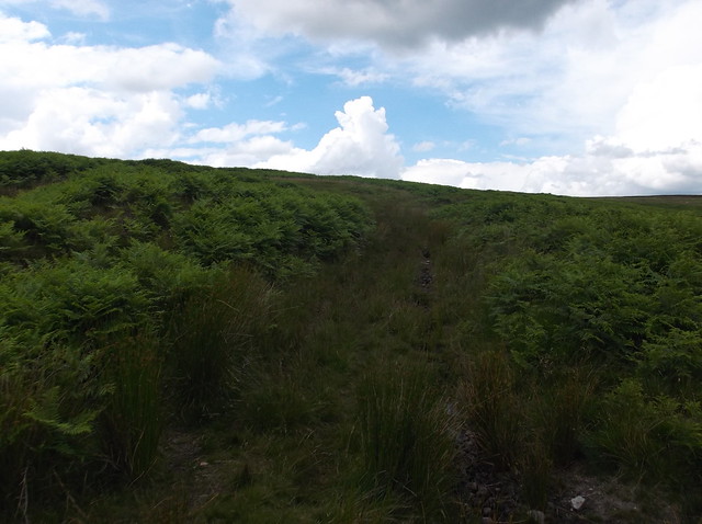
Out onto the bleak wide open space that is Blake Moor now. There are no paths to cross the moor, so it is hard going across the heather, peat bogs and high tufted grass...
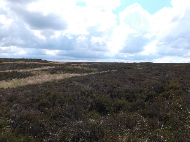
You are also continually climbing, it's not particularly steep, but its enough to make it hard work, it was certainly tough going in the heat of this day. But eventually after 2 miles of slogging it across the moor you come to this fence...
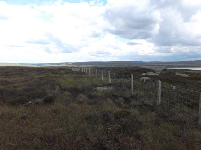
The fence marks a high point of the moor. I cut over the fence, cut right and followed it again across the rough ground. Here the terrain gets all Peak District on you...
Again, there are no paths, you need to continue across the uneven terrain. The fence remains to your right as you ascend slightly towards the highest point of the moor...
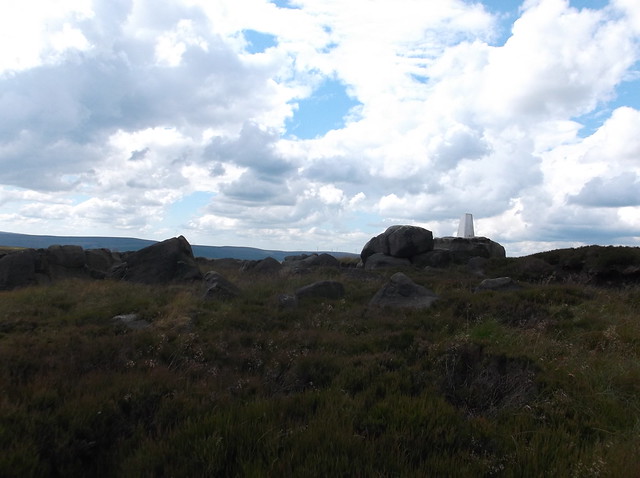
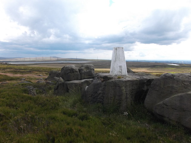
The summit Trig Point of Blake Moor at 420 metres...
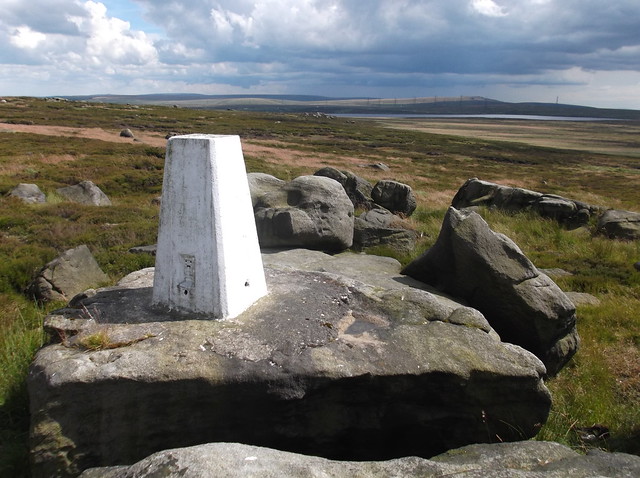
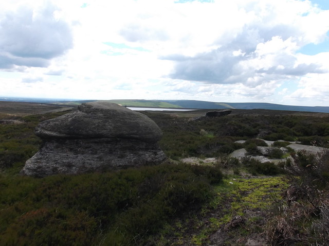
The summit has some fine views of the surrounding moorland, Blackstone Edge reservoir is ahead, with the high point of Blackstone Edge itself beyond. From here you also have some good views of Manchester, the Beetham Tower is probably the most easy to spot landmark.
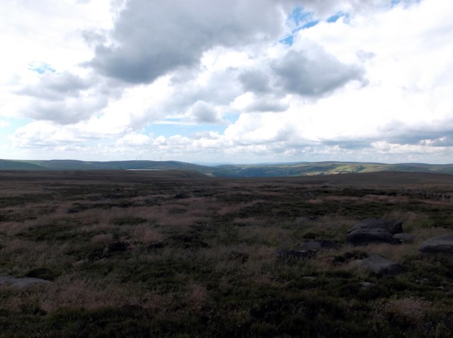
Heading across the rough terrain from the Trig Point in a north westerly direction here, towards one of the main paths that cross the moor...
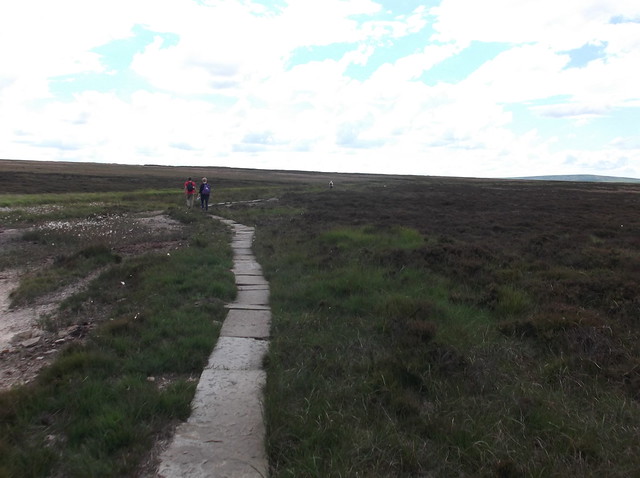
These moors are usually some of the quietest places you can visit in the north of England, however today was strange to see so many people meandering their way across the area, either via the path, or simply hiking across the rough terrain in random directions thanks the Tour de France!
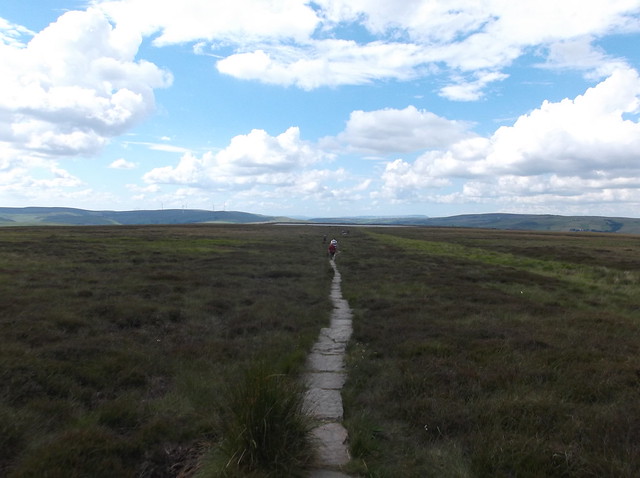
Here onto the flagged path following the edge of Warland Drain...
Here passing Gaddings Dam...
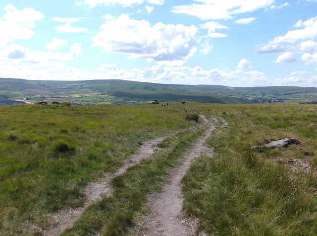
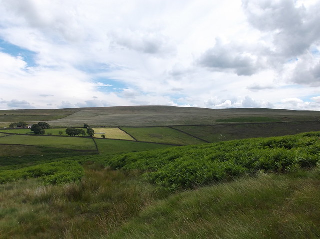
The highpoint of Inchfield Moor here across the valley looking good as the path begins to descend...
Todmorden comes back into view below the high point of Bride Stones Moor...
Stoodley Pike again visible as you approach the base of the moor...
The path is easy to follow, and brings you back into Todmorden.
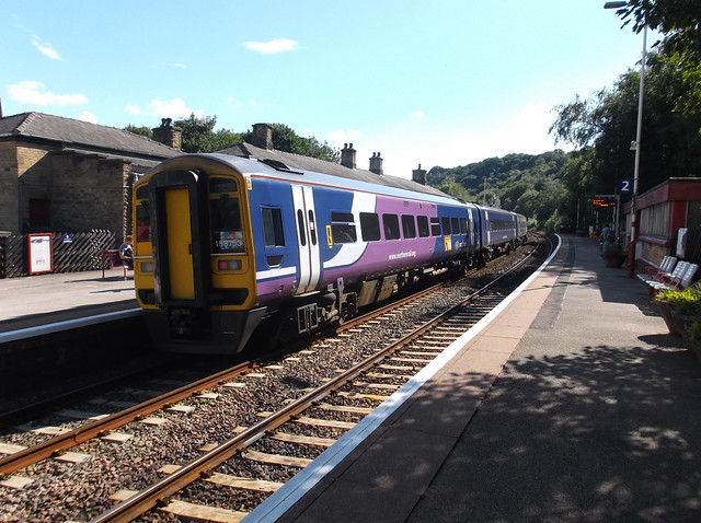
Here back in the station for the busy train back.
Overall a great moorland walk that would make a good introduction to this area of the Pennines.
Thanks for reading.

2 comments:
I've walked much of this route (but in bite-size portions!) & always enjoy the solitude. Le Tour de Yorkshire must've been a real bonus.
Hi Jeff,
A great area of the Pennines, and you're spot on with the solitude of the area - albeit a little more people about on this day though of course. And yes, it was well timed - if slightly lucky to get to see 'le tour' go through :)
Post a Comment